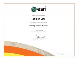
The experience and knowledge gained from UBC’s GEOB 270 (Introduction to Geographic Information System/Science) has given me the basic and fundamental skill sets for my future career in the line of data science and geographic information system. I am proficient in a variety of GIS analysis tools which are essential in many projects such as environmental impact assessment, urban and town planning, or natural resource management. These skills include proximity analysis (buffer and selection by location), overlays of spatial information (union, intersect, clip, etc.), and also building Structured Query Language (SQL) to select relevant and important data from the data set. The group project on Agricultural Land Reserve (ALR) also provided me an opportunity to work in a team of 4, and carry out a detailed analysis of a sub panel ALR in central Okanagan B.C. This experience will be beneficial to future projects with experts in other fields such as engineers, architects, sociologists, etc.

