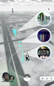
I am interested in the mapping in bottom up approach. Using human as sensors can always recall the forgotten substances which are in fact existing but become invisible due to the limited information and access, or absence of interest of the top-down mapping group. I will keep on looking for more various ways of bottom-up mapping.
Human as sensors :”Recently a great deal of attention has been devoted to the concept of sensor networks. The observational objectives of Earth science, as well as the objectives of security and surveillance, can be addressed at least in part by the installation of networks of sensors across the geographic landscape. Commonly cited examples include the network of video monitors in many major cities, proposals to instrument the ocean and seabed with sensors in the interests of science and early warning of tsunamis, and networks of traffic sensors that can provide useful information to planners, as well as realtime pictures of congestion.”
“Goodchild Michael F., “Citizens as sensors: The World of Volunteered Geography”, GeoJournal (2007):211- 221, acccessed May 17, 2017, doi:10.1007/s10708-007-9111.”
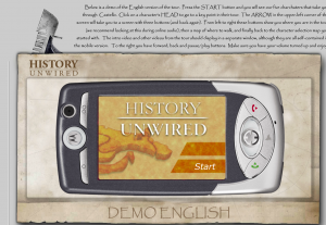
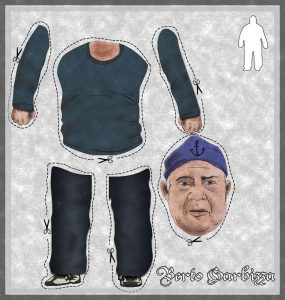
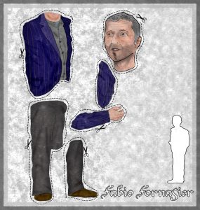
History Unwired is a walking tour through one of Venice’s more hidden neighborhoods, delivered over location-aware, multimedia phones and PDAs. Developed in 2005, this project was a first-ever mix of mobile video, animation, audio, and bluetooth locative technologies in the tourism sector. The tour takes visitors around the neighborhood of Castello, guided by the voices of Venetian citizens who depict a particularly local experience of art and craft, history and folklore, public and private spaces.
 Follow


