Abstract
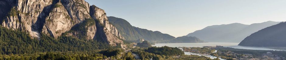
Squamish, BC is a growing municipality at the north end of Howe Sound, approximately 65km north of Vancouver. An outwash plain, it is bounded by steep mountains on both the east and west ends. With a wealth of outdoor activities, it attracts thousands of tourists which make up a large part of the municipality’s economy. This analysis will look at slope stability with respect to two triggers; ground acceleration due to tectonic activity and a loss of soil cohesion due to rainfall. Our primary sources of data were a digital elevation model of the region and a surficial material map to which we assign engineering properties. Using this data we were able to map the probability of landslides due to earthquakes, as well as classify the slopes as stable or unstable in the event of varying levels of rainfall activity.
Introduction
Landslides and other mass wasting events are a common hazard in the Coast Mountain Range, and normally pose little risk in the uninhabited regions. However in populated regions and where there is critical infrastructure, the consequences of landslides can be severe. Fast-moving, they can cause high death-tolls and can bury infrastructure under meters of earth materials. This analysis looks at the probability of landslide events in the District of Squamish. Located north of Vancouver in British Columbia, Squamish is growing in population. By looking at slope stability and the probability of mass wasting events, the District of Squamish can inform their land use planning and prioritize their slope engineering work.
Soils typically adhere to a Mohr-Couloumb failure criterion, where slope failure is a function of a the soils’ friction angle and cohesion. Landslides are typically initiated when the driving forces of the soil mass exceed the resisting forces. This analysis looks at two mechanisms through which failure can occur: ground acceleration due to earthquakes and loss of cohesion due to rainfall.
To perform the seismic analysis I used the method developed by Jibson, Harp, and Michael (2000). It develops a model for the Factor of Safety of the slope, and examines how ground acceleration influences the ground displacement. It then uses an empirical formula to determine the probability of ground displacement for different earthquake magnitudes.
For the rainfall analysis I used the method developed by Montgomery and Dietrich (1994) which looks at the mechanisms behind shallow landslides. This method classifies the slopes into four distinct categories: unconditionally stable, unconditionally unstable, stable, and unstable. It does this by looking at the degree of saturation in the soils, which varies with rainfall.
This analysis first creates a basemap using a 10m resolution digital elevation model (DEM) and a surficial material map with the required parameters to conduct the two analyses. It then uses this data to develop the earthquake and rainfall models, and produces the respective maps outlining the probability of these events.