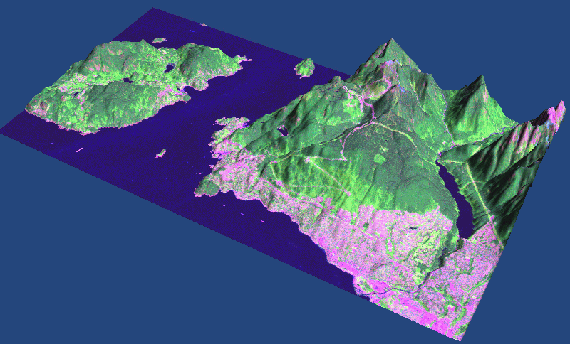
Part of a satellite image from the GeoGratis Landsat-7 Orthorectified Imagery over Canada, using the 0.75 arc-second GeoBase Canadian Digital Elevation Data Level 1 DEM at 1:50,000 scale.
Part of a satellite image from the GeoGratis Landsat-7 Orthorectified Imagery over Canada, using the 0.75 arc-second GeoBase Canadian Digital Elevation Data Level 1 DEM at 1:50,000 scale.