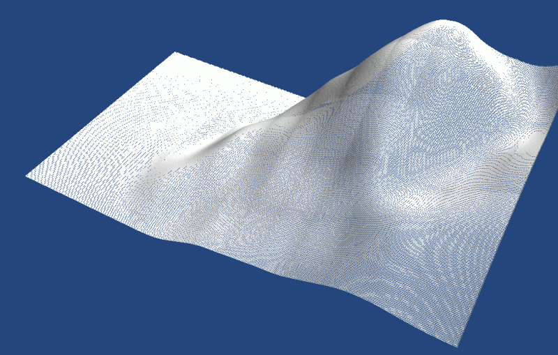
Wireframe image using the SRTM 30 arc-second data, which is a “near-global digital elevation model (DEM) comprising a combination of data from the Shuttle Radar Topography Mission, flown in February, 2000 and the the U.S. Geological Survey’s GTOPO30 data set”.
Wireframe image using the SRTM 30 arc-second data, which is a “near-global digital elevation model (DEM) comprising a combination of data from the Shuttle Radar Topography Mission, flown in February, 2000 and the the U.S. Geological Survey’s GTOPO30 data set”.