
This Interactive map is a great way to visualize data present.
You can zoom into areas to get a closer look of First Nations Indian reserve locations, tribal councils, and First Nation Relationships between several different First Nations.
CLICK HERE to explore this map for yourself!
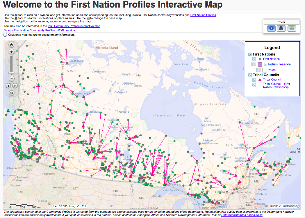
Figure 1. Screen shot of a zoomed out visual of the First Nations Interactive Map.
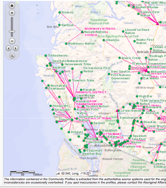
Figure 2. Screen shot of a zoomed in visual of the First Nations Interactive Map.