I. China’s Frontiers
- North—Mongols … the Great Wall (changes)
- South—man yi 蠻夷 (“non-Chinese”) … institution of native chieftaincy
II. Zheng He 鄭和 (1371–1433) and His Voyages
- Background—Muslim from Yunnan … eunuch in the Yongle (r.1403–1424) court … Fei Xin 費信 (b. 1388) … Ma Huan 馬歡 (c. 1380–1460)
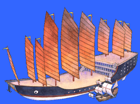
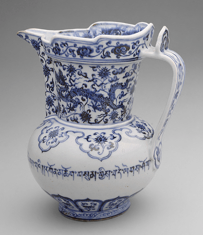
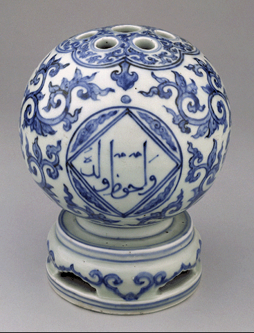
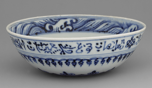
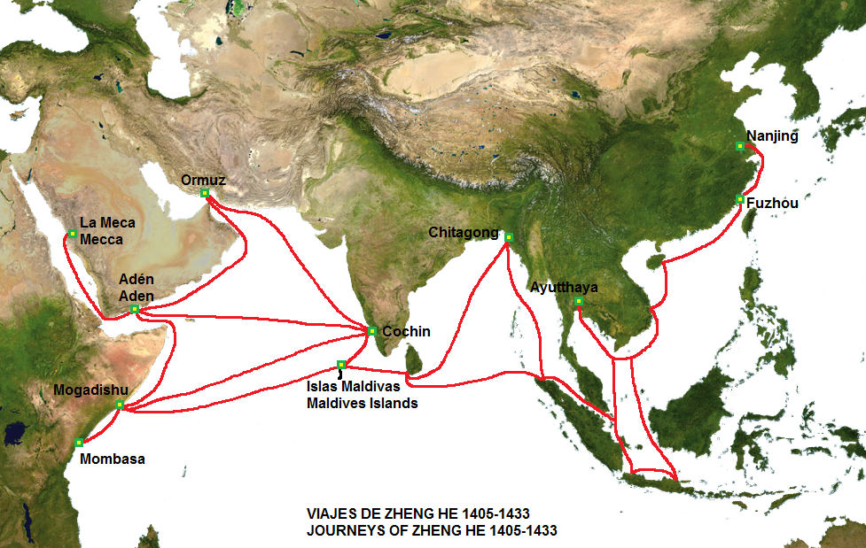
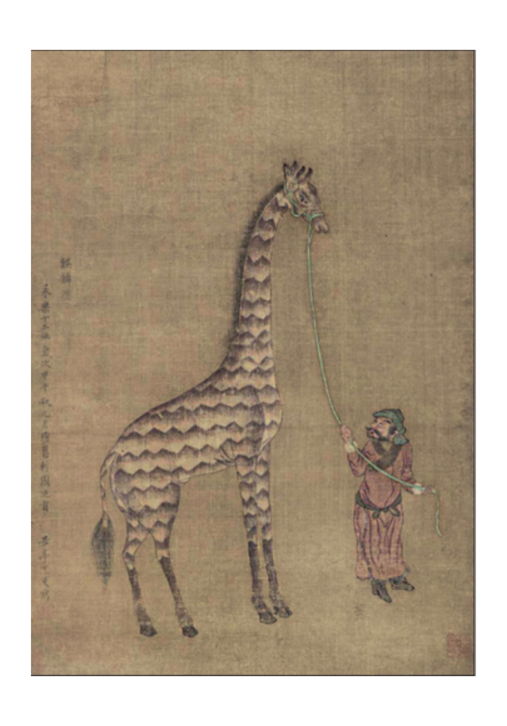
- Seven voyages (1405–1433)—background … first voyage (1405–1407; 27,800 crew members; 62 large and 255 smaller vessels) … “treasure ships” … as large as 440 feet long (2,500 tons cargo capacity) … Santa Maria of Columbus (125 feet long; 280 tons) … at least 37 countries visited (from Champa to East Africa) . . . ship-building
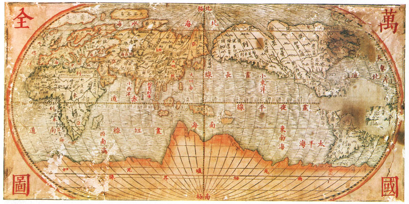
- Context—alternative to “Silk Road” … tributary system
III. China and the West
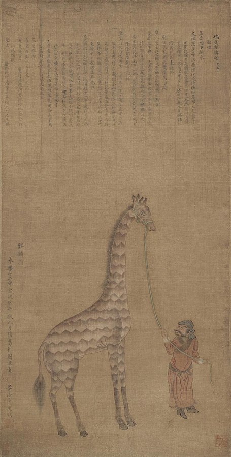
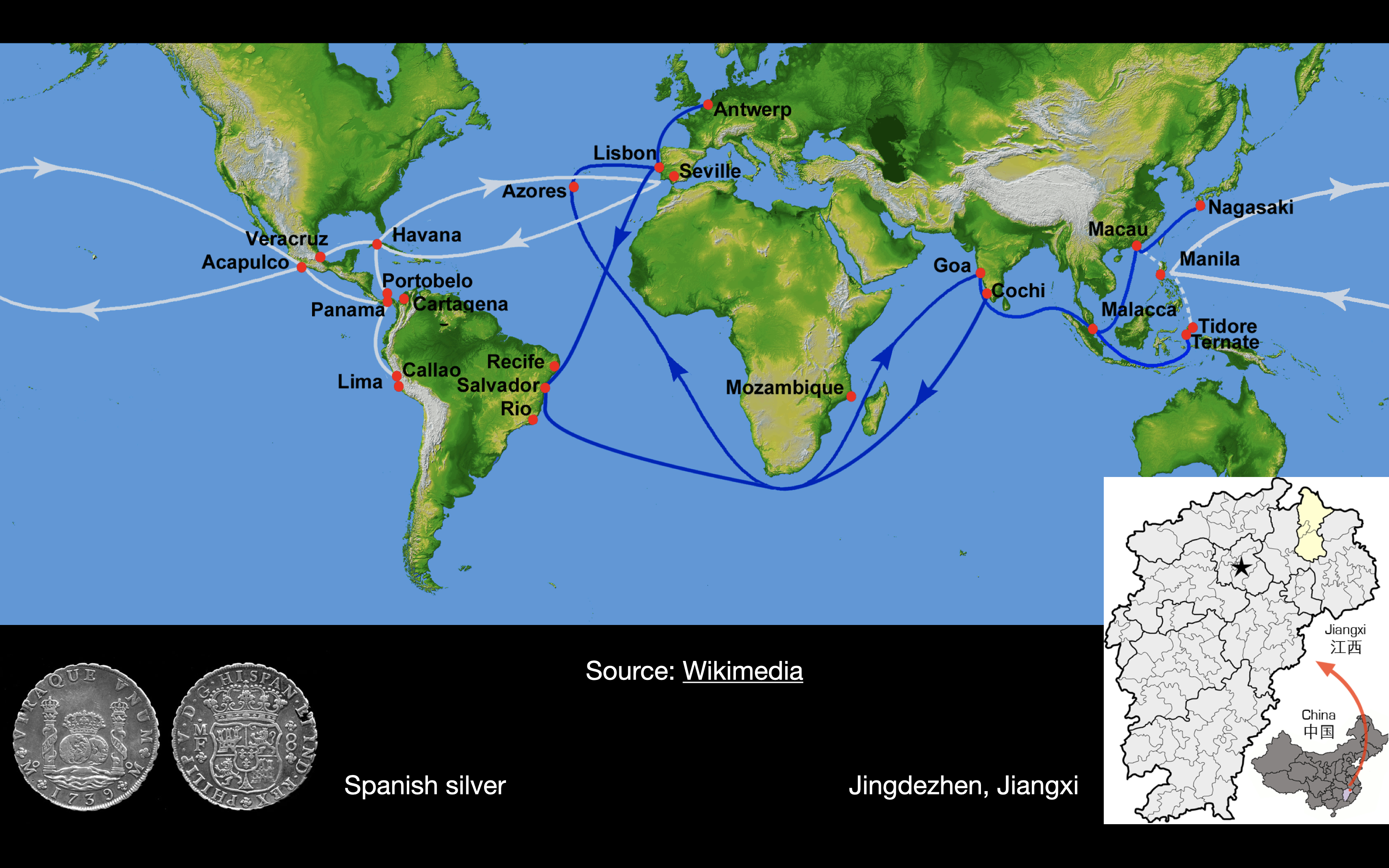
- Age of silver—maritime trade … Portuguese in Macao (1577)
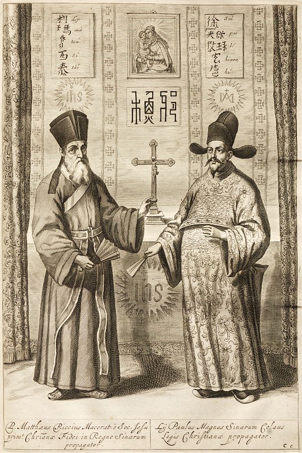
- Matteo Ricci (1552–1610)—joined Society of Jesus (1571) … studied mathematics and astronomy … arrived in China (1582) … translations … resided in Beijing (1601) … True Meaning of the Lord of Heaven (1603)
- Xu Guangqi [Hsü Kuang-ch’i; “Paul Su”] (1562–1633)—Shanghai … father (merchant); mother (local literati family) … ju ren (1597) … jin shi (1604) … translations
Discussion
- What were some of the primary concerns of the Chinese scholar-officials? How did Xu Guangqi (Paulo Xu) go about defending the teachings of the "foreign priests"? And how did Matteo Ricci (the "Western scholar") address such concerns?
- What broader observations could one draw from this episode of cultural exchange? What does this tell us about late-Ming society? And what does this tell about the "early modern" world?
Maps
External links to Maps:
History in Maps | Ming Dynasty
Physical Map
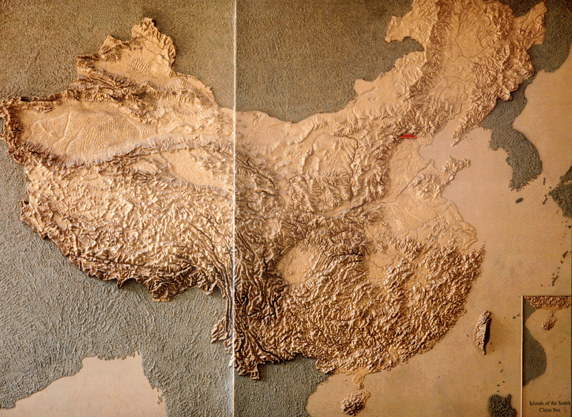
Source: National Museum of Chinese History, ed., A Journey into China's Antiquity, vol. 1 (Beijing: Morning Glory Publishers, 1997), pp. 8–9.
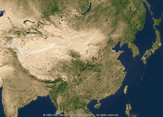
Physical Map by Satellite
Administrative Map
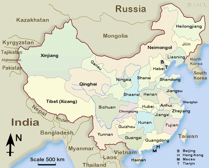
Source: SACU