Proportional Symbol Maps
Using Absolute Scaling
Using Perceptual Scaling
Summary
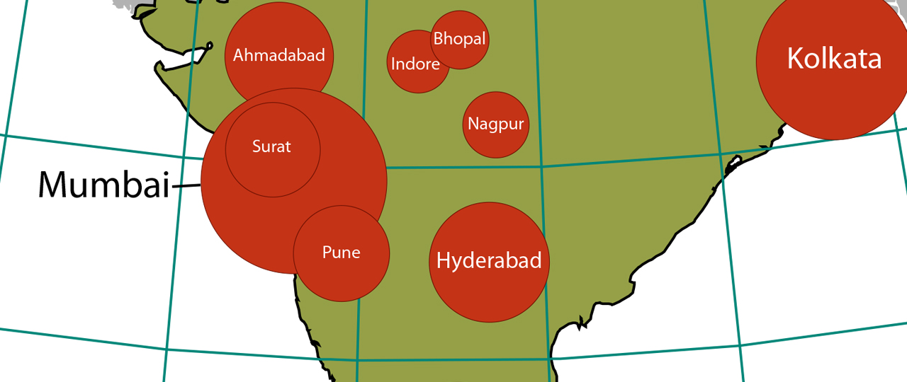
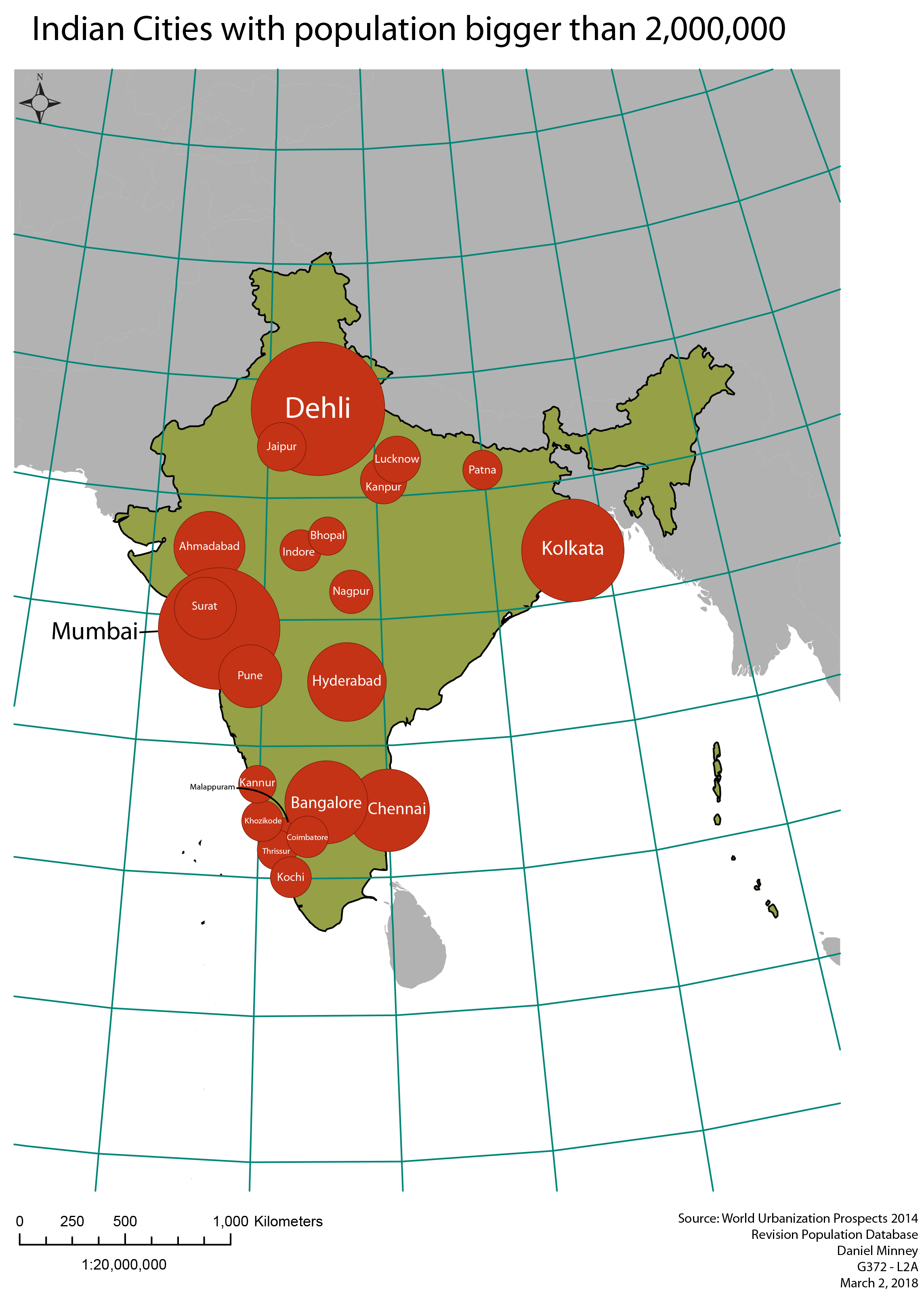
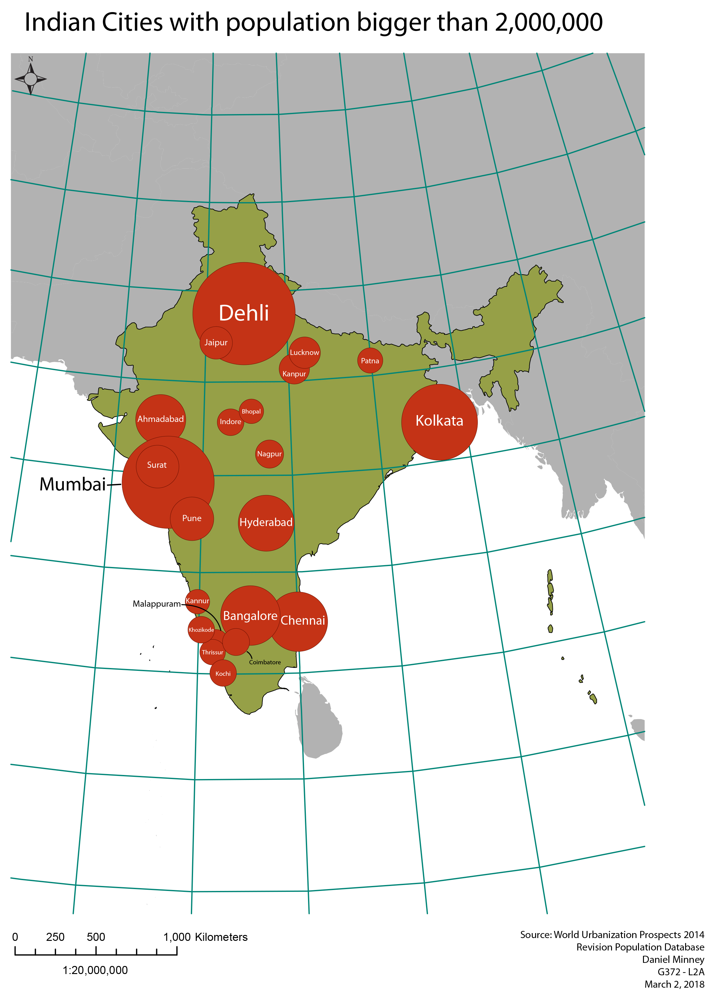
Absolute scaling for proportional symbol maps allows for an accurate representation of the area difference between cities. However, when viewed on a map, humans commonly underestimate area differences for symbols when using absolute scaling. In the map of Indian cities with a population greater than 2 million, the absolute scaling, although scaled to true values, makes it look like the middle-sized cities are a lot closer in population size to the largest cities such as Delhi, Mumbai, and Kolkata. This problem is largely fixed when using the Flannery method of scaling with an exponent of 0.57 instead of 0.5. The larger cities seem proportionally larger compared to the smaller cities and gives a much better sense of how many people live there.