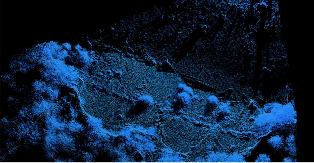
Geographical Information systems (GIS) software is an essential tool of geoscientists and engineers. It underpins most spatial analysis. However, UBC students in EOAS are not currently trained in GIS.
This project uses an innovative approach to this issue: introducing GIS in existing courses, rather than as a new standalone course. We developed general video lessons in parallel with new course-specific lab exercises, to ensure that all students in EOAS are given a foundation in GIS skills, in the context of applied earth science.
We are piloting the video lessons in Geological Engineering/Geology courses in 2018-2019, and will introduce them to other EOAS courses the following year. Instructors can build on this foundation with applied lab assignments that are tailored to their specific course(s). We would eventually like the whole department to incorporate GIS in this modular format; this project pilots that initiative.
For instructors in EOAS who are interested in using some or all of these materials for teaching, please distribute the pre- and post-semester surveys and question sheet (in the Review tab) to your class.
