The videos introduced general GIS concepts. In the trial courses, we then introduced the practical aspects of GIS through lab exercises.
We suggest that other instructors could use the same video lessons for GIS concepts, but could develop additional lab materials to teach practical GIS skills in a way that is tailored to the course content and level.
Below are some examples of GIS lab tasks from the trial courses.
3rd year
For the 3rd year course, we gave step-by-step instructions, for specific tasks and datasets. Students did 1-2 GIS tasks per lab, and were allowed to work in groups of two. They had a week to complete each lab. The GIS exercises included…
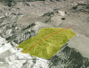
- Mapping from historic aerial photos, and performing area calculations with vector data
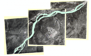
- Geomorphic mapping and cross-section extraction with Google Earth
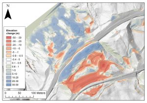
- Change detection using digital elevation models in ArcMap
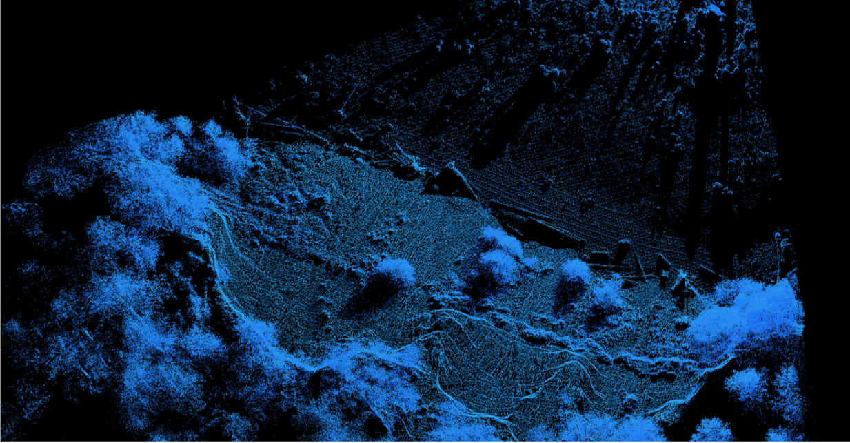
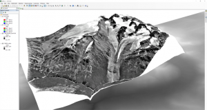
- 3D landscape visualization using ArcScene
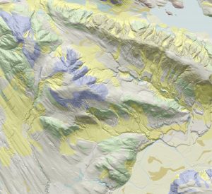
- Terrain mapping and cartography in ArcMap using LiDAR hillshades
4th year
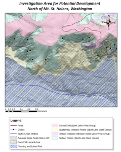
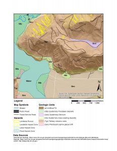
For the 4th year course, students were given a GIS software “cheat-sheet”, and a directory of data sources. They were free to apply GIS methods as they saw fit, in order to achieve the lab outcomes. Again, students were able to work in groups of two. Tasks included…
For one lab:
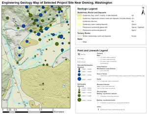
- sourcing own geospatial data
- Collating a range of data types and working with different data attributes to produce an engineering geology map
For another lab:
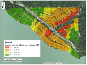
- Integrating calculations in Excel and GIS for a quantitative risk assessment
- Interacting with shapefile attribute tables