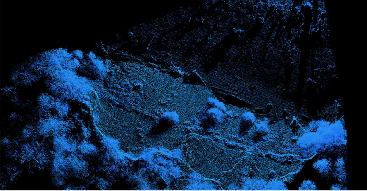
In the 3rd year pilot course, we gave students the pre- and post-semester multichoice survey, to assess how the GIS videos and lab exercises changed their perceptions of GIS. The combined results from all responses are below. We thank the students for their feedback.
- GIS tools can be useful for understanding different concepts in the geosciences
| Strongly disagree (%) | Disagree (%) | Neutral (%) | Agree (%) | Strongly Agree (%) | |
| Pre-semester | 4.3 | 2.2 | 10.9 | 28.3 | 54.3 |
| Post-semester | 4.1 | 0 | 0 | 44.9 | 51.0 |
- Which of the following GIS software have you heard of? Circle all that apply.
| ArcMap (%) | SAGA (%) | QGIS (%) | GoogleEarth (%) | Global Mapper (%) | |
| Pre-semester | 58.7 | 8.7 | 39.1 | 100 | 21.7 |
| Post-semester | 100 | 6.1 | 59.2 | 100 | 34.7 |
- Which of the following GIS software have you had experience using? Circle all that apply.
| ArcMap (%) | SAGA (%) | QGIS (%) | GoogleEarth (%) | Global Mapper (%) | |
| Pre-semester | 34.8 | 0 | 6.5 | 100 | 6.5 |
| Post-semester | 95.9 | 0 | 3.1 | 100 | 0 |
- Would you find it helpful for GIS to be used within geoscience courses in:
a. Lectures
| Not at all (%) | No (%) | Maybe (unsure) (%) | Yes (%) | Very useful (%) | |
| Pre-semester | 0 | 2.2 | 19.6 | 50 | 28.2 |
| Post-semester | 2.0 | 8.2 | 28.6 | 38.8 | 20.4 |
b. Labs
| Not at all (%) | No (%) | Maybe (unsure) (%) | Yes (%) | Very useful (%) | |
| Pre-semester | 0 | 0 | 10.9 | 43.5 | 45.6 |
| Post-semester | 0 | 2.0 | 0 | 32.7 | 65.3 |
c. Independent Project(s)
| Not at all (%) | No (%) | Maybe (unsure) (%) | Yes (%) | Very useful (%) | |
| Pre-semester | 0 | 2.2 | 17.4 | 50 | 30.4 |
| Post-semester | 0 | 4.1 | 30.6 | 36.7 | 28.6 |
