Module 2 introduces ways we deal with large spatial datasets in the Earth Sciences. We divide the module into 7 episodes:
- GIS and Spatial Data Analysis (Introduction)
- Data Sources
- Data Sources part 2: Field Data Example
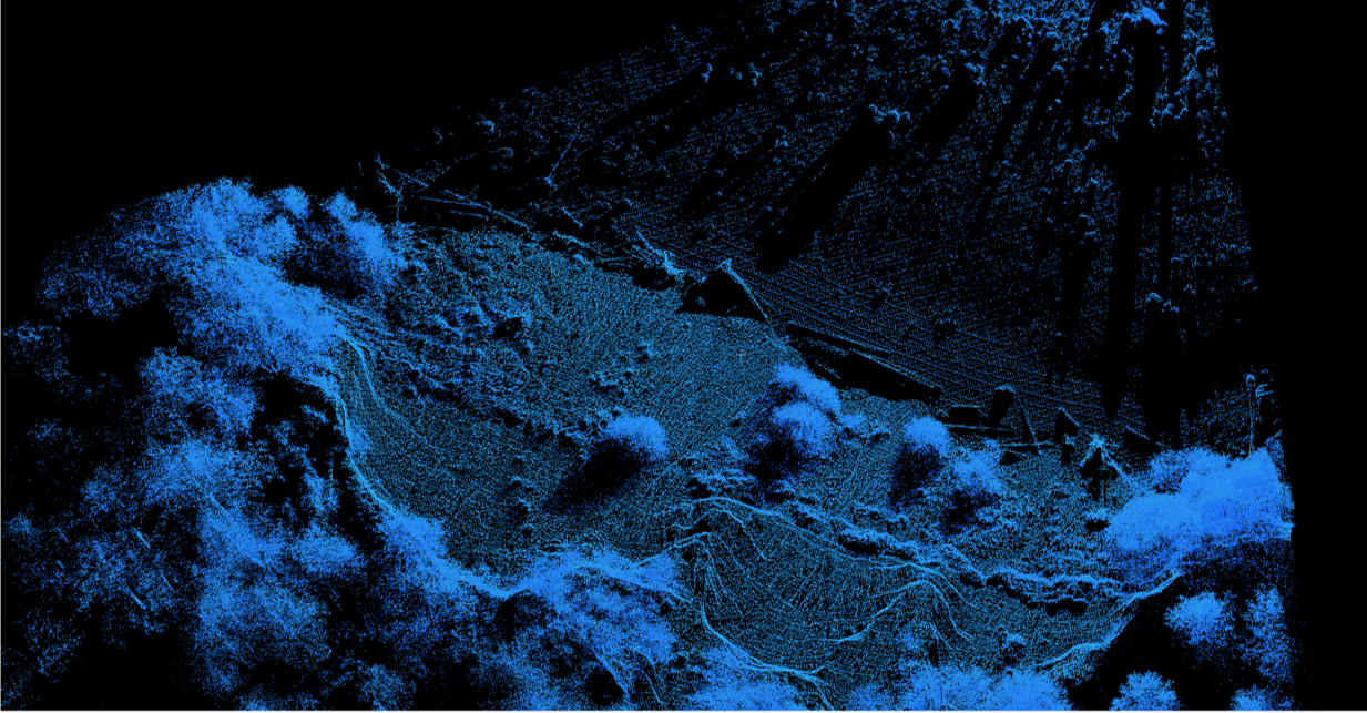
- Large Datasets: Analyzing and Visualizing
- Data Storage and Management
- Large GIS Datasets in Research
- Summary
Below is an example video: Episode 3 (Large Datasets: Analyzing and Visualizing). The video has sound.
The remaining video episodes in this module are available upon request from Scott McDougall (smcdouga@eoas.ubc.ca). There is also an accompanying question worksheet.