Extract Water Elevation from DEM:
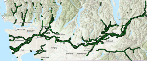
We needed to first acquire elevation points of the water bodies using the DEM data layer in order to map the floodplain around the Fraser. The DEM layer was converted to points and clipped with the waterbody layer producing a point layer of water elevation of the Fraser River and nearby tributaries.
Spatial Join to Create set of Interpolated Flooding Elevations:
In order to determine areas that are going to be flooded, we used spatial join to combine the water elevations at rivers with the DEM elevations. This produced a point layer with both the DEM elevation and an interpolated flooding elevations at every point in our area of interest. We used a flooding out technique which involved assigning water elevations at point on land using the closest water elevation from rivers.