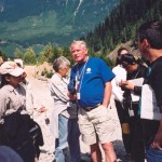
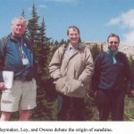
Led by Olav Slaymaker, Michael Bovis and Erik Schiefer
Sunday, June 27, 2004
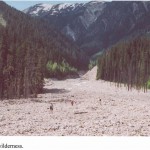
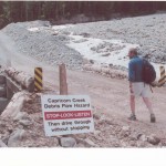
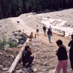
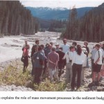
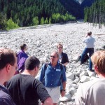
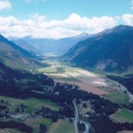
Thirty five years ago, we started work on the sediment budget of Lillooet River basin, a 3,850 km2 basin containing 400 km2 of glaciers and ice fields and an unusually active sediment source in the form of the Meager Creek volcanic complex. This complex consists of early to mid Pleistocene dacite and rhyolitic lava and pyroclastic deposits which have undergone hydrothermal alteration. The valley experienced extensive river training under the direction of the Water Development Branch of the Prairie Farm Rehabilitation Act from 1946-1951, a process which steepened and straightened the river above Lillooet Lake and lowered the outlet of Lillooet Lake by 2.5 metres. Gradual growth of population in the village of Pemberton since its incorporation in 1966 contrasted with the rapid growth of the Mount Currie Reserve, the home of the most westerly of the Interior Salish people, located directly on the Lillooet River delta. More recently, since about 1995, Pemberton has become a bedroom community, serving the needs of Whistler, whose prominence as an international skiing destination has made housing prohibitively expensive. Consequently, heavy investment in building of homes on the Lillooet River floodplain is now evident. Research in the northern half of the basin has been directed by Michael Bovis; that in the southern half by Olav Slaymaker.
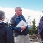
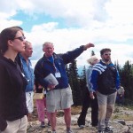
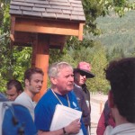
Photos
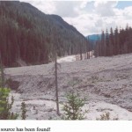
Meager Creek
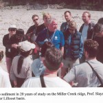

Miller Creek


Itinerary
| 7:00 | Depart by bus from the southwest entrance of the Geography Building |
| 9:15 – 10:15 | Stop 1: Green Lake |
| 10:45 – 12:45 | Stop 2: Pemberton Airport 5 return helicopter flights to Miller Ridge at 1,800 m a.s.l. All return to Airport by 12:45 p.m. |
| 12:45 p.m. | Lunch |
| 1:45 – 2:45 | Stop 3: Meager Creek |
| 3:15 – 4:15 | Stop 4: Braided Lillooet River |
| 5:15 – 6:15 | Stop 5: Lillooet River delta |
| 7:15 – 9:00 | Dinner at Squamish (paid individually) |
| 10:00 p.m. | Estimated arrival at UBC campus (Geography Building) |