Map Projections
Comparing Ontario to Germany in Equal Area Projection
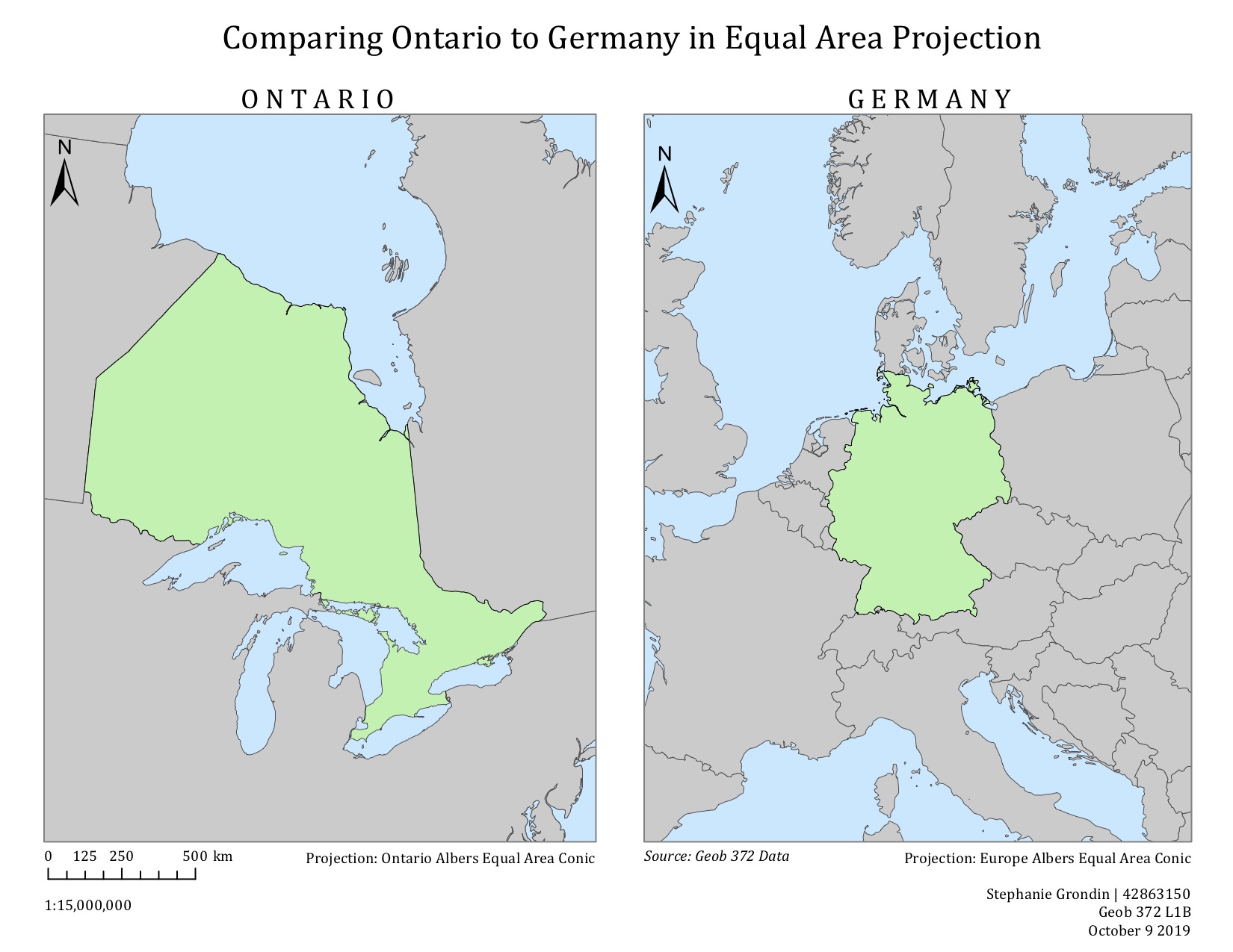
Equal Area Projection
When comparing land area, it is best to use Equal Area Conic Projection. For example, when comparing areas of destruction by forest fires in different parts of a province or country, equal area projection must be used in order to assess and compare how much land was destroyed by fires. In this assignment, I was tasked to compare Ontario to Germany, using Ontario Albers Equal Area Conic and Europe Albers Equal Area Conic to better fit each area.
It is important to note that in order to compare land area, both maps must be set at the same scale.
What I learned:
- Reviewed and practiced my technical skills in ArcGIS.
Improvements for the future (takeaways):
- Don’t forget to set standard parallels and a central meridian so the projection best fits the area.