Winding down CBEL Project
Mar 22nd, 2013 by khand
As our CBEL project comes to a conclusion with the poster project next week, we have been working hard to finish our deliverables. Through communication with the geography students and our mentor and contact at RJC, Brandon, we finalized what information was needed and created an excel sheet which contained data that could be used by the Victoria Civic Heritage Trust in mapping seismic risks in the downtown core. This data included soil type, building height, type of structure, history of retrofitting, as well as much more. Each team member took a section of buildings which they had inspected and input that data into a master spreadsheet, which was then forwarded to Brandon and the geography team.
Another deliverable of this project is the collection of photos taken of the buildings inspected over reading break. This has been compiled into an album and shared with Brandon via Dropbox. Below are a few examples of these images.
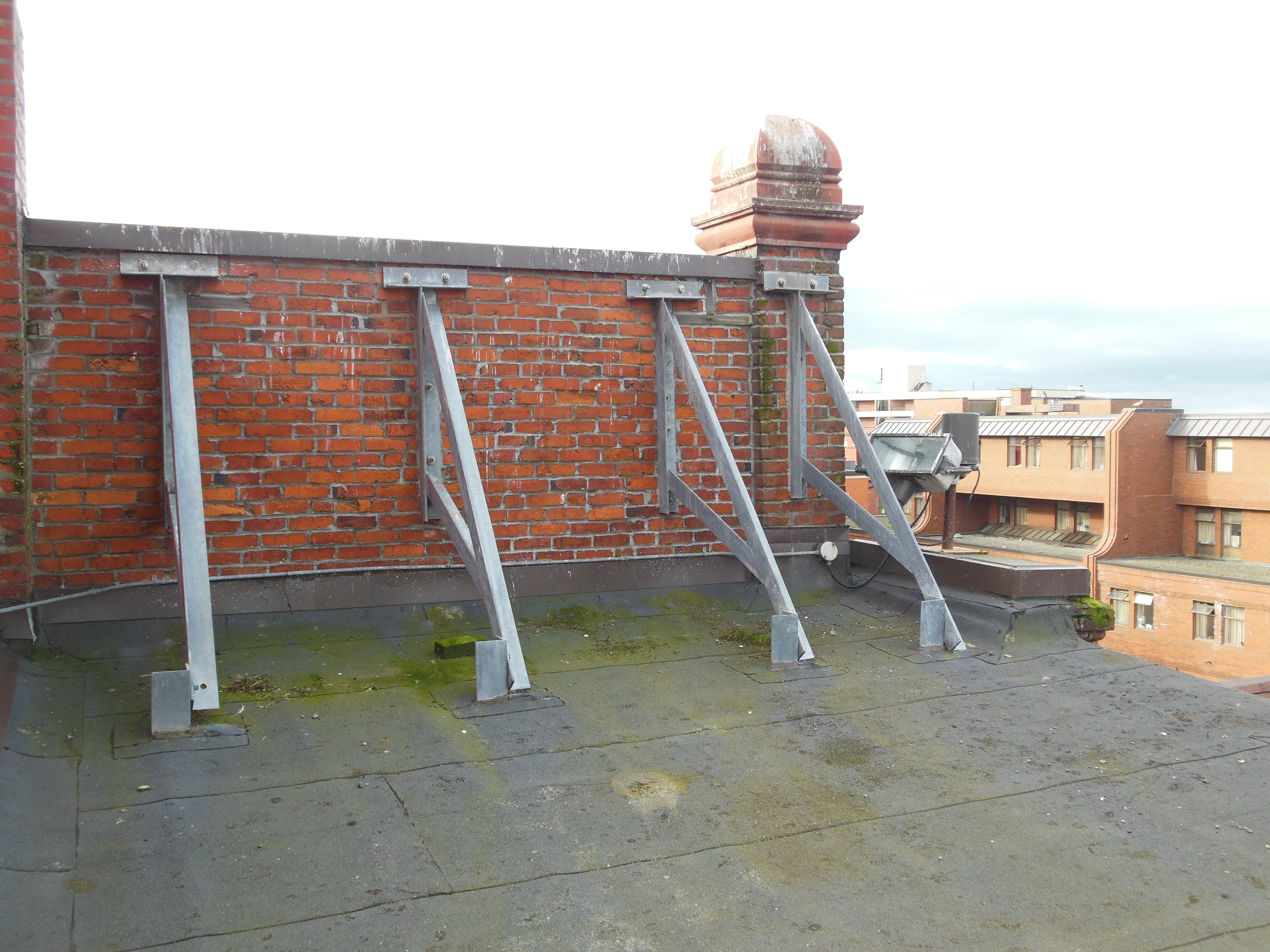
Image of parapet bracing in Market Square.
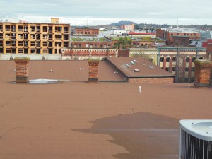
View of chimneys and roof tops in Market Square.

View from Yates Street parking lot.
The only issue we encountered since finishing our work in Victoria was coming to a consensus with the geography team on what information they wanted in the master spreadsheets however this was solved in a relatively short time span. All that remains for our group is showcasing the poster board and documentation assignment, due on March 25 and 28 respectively.