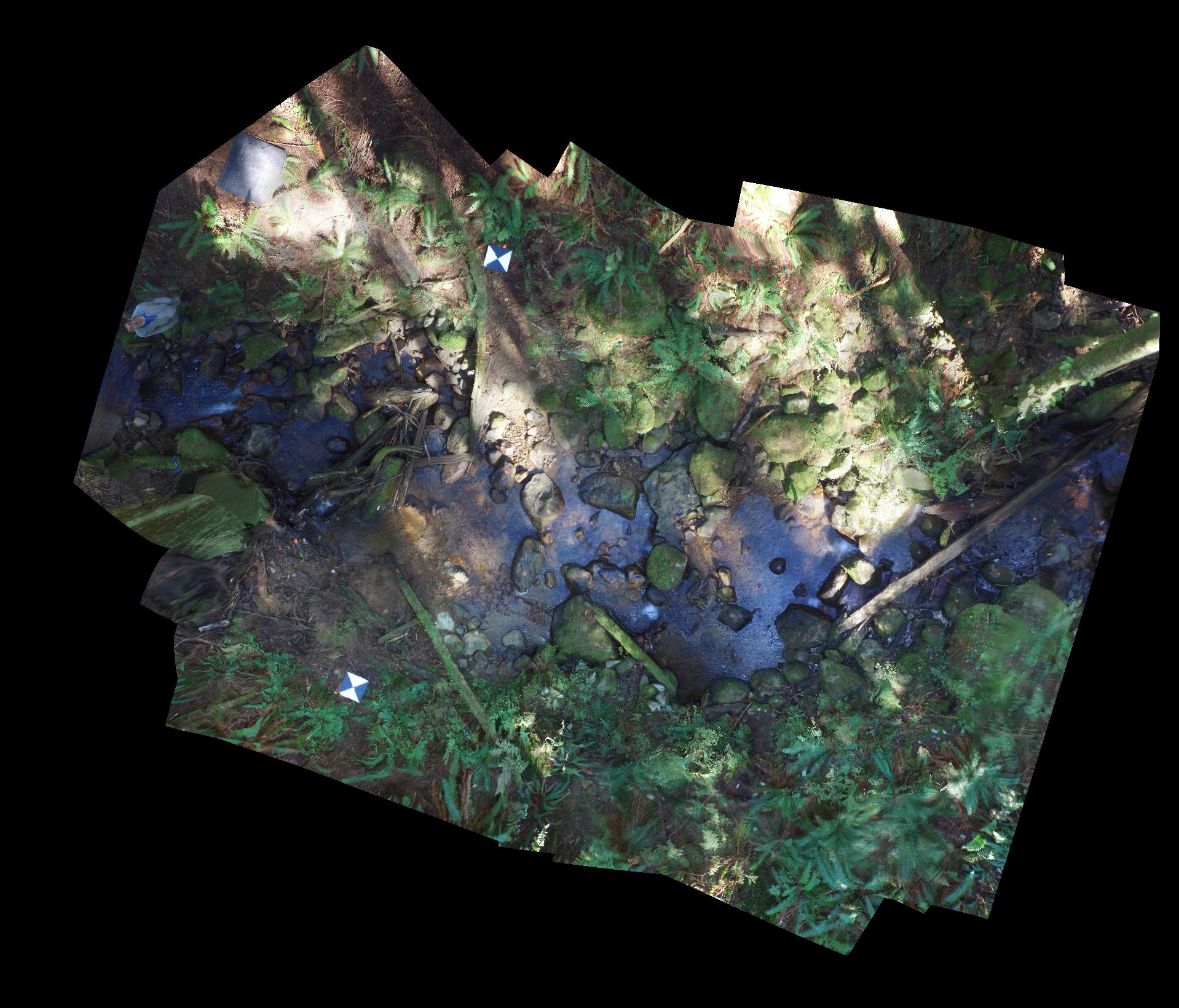
So we gave our nice new DJI Inspire 1 drone its first real survey job. About 10 seconds after take-off, the thing flew straight into a tree. Lesson learned: when working under a forest canopy, you may not have usable GPS coverage, in which case you can’t rely on the built-in stabilization magic that makes most drones easy to fly (in open areas, at least). One replaced propeller later, we were back up in the air, and managed to collect over 100 decent photos of a steep step-pool stream. With a bit of practice, the drone can be controlled reasonably well; with a lot of practice and an experienced operator, I imagine a drone could be made to dance amongst the trees like a butterfly.
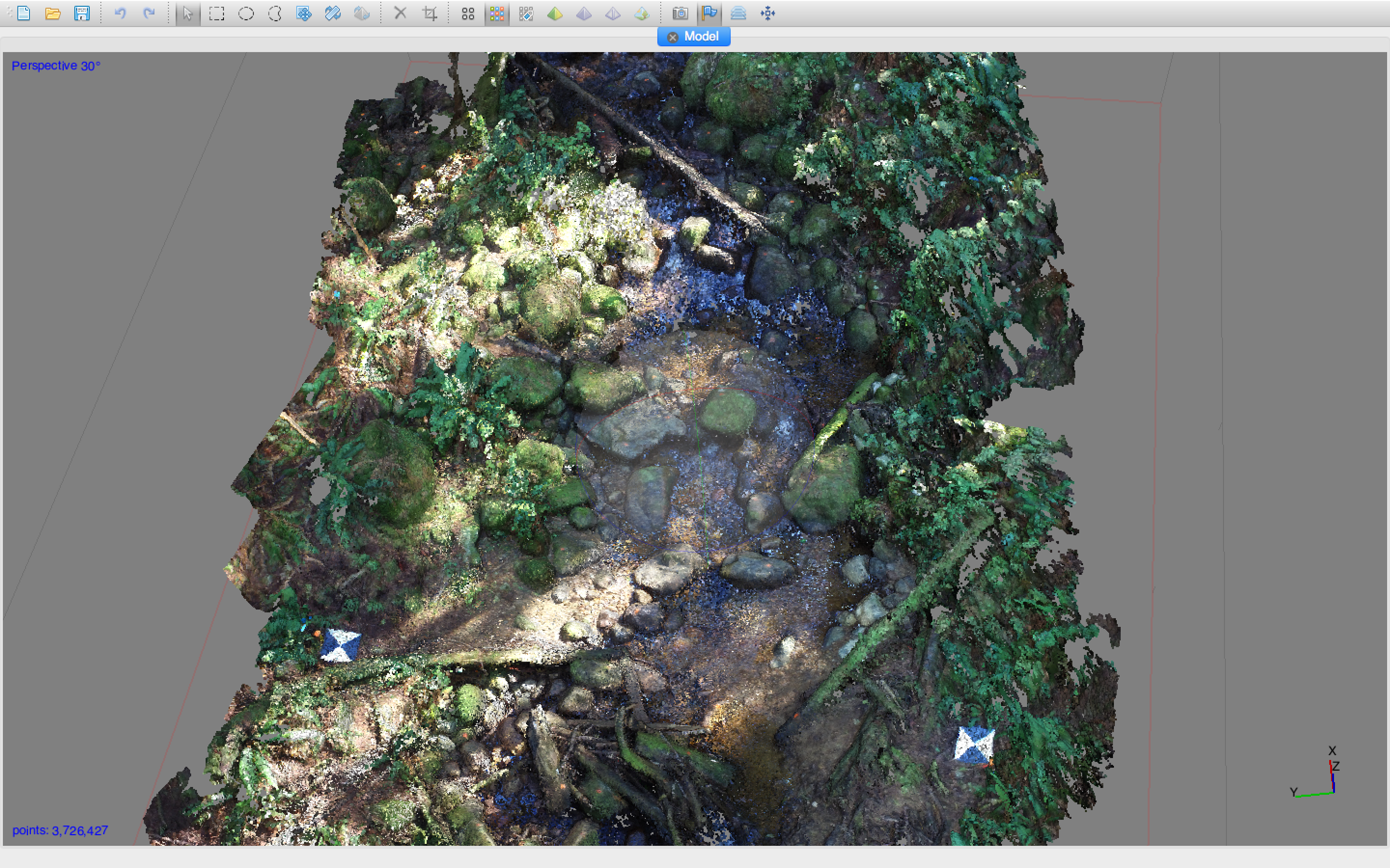
The bottom line is that there is real potential to use these things under a forest canopy to survey channel morphology. I have attached a low resolution ortho photo based on our 10 minutes of flying so you can see what you get with a basic drone and no ground control points. With photoscan, we managed to identify more than 10 million individual data points from the photo analysis. The result is a DEM with excellent resolution. To give the reader a sense of what this this actually means in terms of data density, I have also included a screen shot of the data cloud generated by photoscan. Each pixel represents an XYZ point identified by the software (the color of each pixel is determined by the underlying images, which is why it data cloud looks superficially like a photograph).