E-Portfolio | Daniel Minney

Web mapping with MapBox

Posted by in Cartography

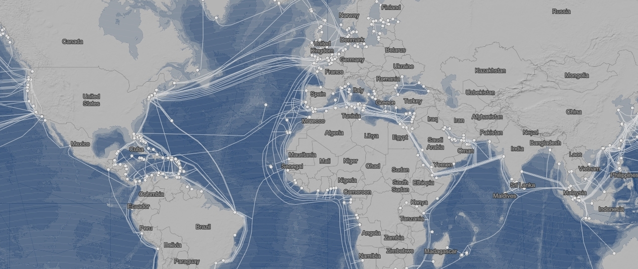
Ever since the industrial revolution the world has become ever more interconnected. As globalization consumes almost every corner of the globe, maps have been created to show how connected the world is. Using undersea cables, I attempted to visualize what areas of the world are connected, especially in a time where so many people are connected to the internet and can interact with each other across vast distances within seconds. Although the undersea cable lines are the prominent factor displayed on the map, it is the background and place names…read more
Proportional Symbol Maps

Posted by in Cartography

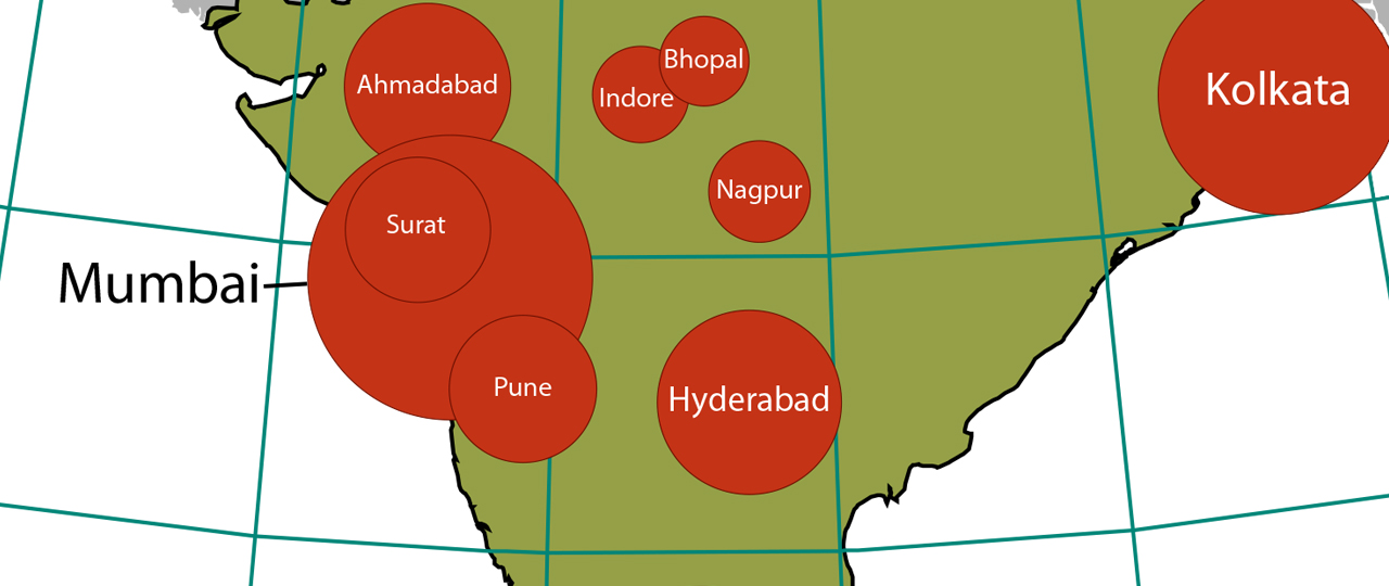
Using Absolute Scaling Using Perceptual Scaling Summary Absolute scaling for proportional symbol maps allows for an accurate representation of the area difference between cities. However, when viewed on a map, humans commonly underestimate area differences for symbols when using absolute scaling. In the map of Indian cities with a population greater than 2 million, the absolute scaling, although scaled to true values, makes it look like the middle-sized cities are a lot closer in population size to the largest cities such as Delhi, Mumbai, and Kolkata. This problem is largely…read more

Lettering

Posted by in Cartography

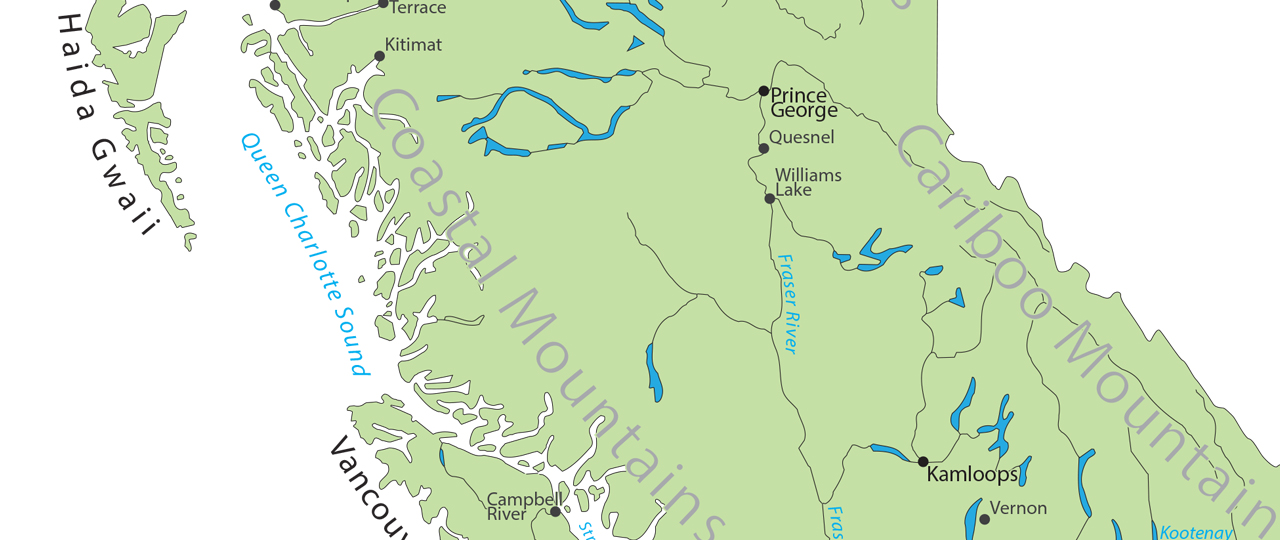
Accomplishments Gained an understanding of type families, styles, and sizes for design, and placement of labels on a colour map of British Columbia. Created using Adobe Illustrator.

Spam prevention powered by Akismet