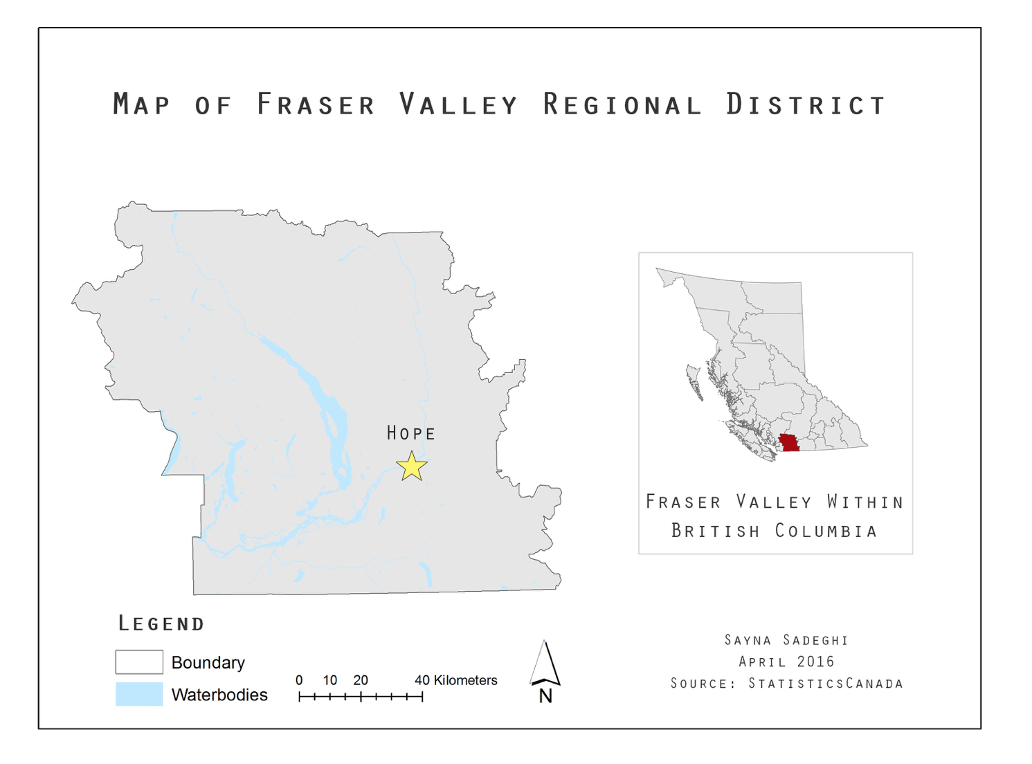
Where is Hope?
Hope is a district municipality located at the eastern end of both Fraser Valley and Lower Mainland region in British Columbia, Canada (Map 1) and is situated at the junction of two important rivers: Fraser and Coquihalla (District of Hope, n.d.). Additionally, there are Silverhope Creek, Kawkawa Lake, and many other streams that are part of a larger ecosystem, which is home to birds, fish and other wildlife (District of Hope, 2014). Hope is no exception to the widespread concern of environmental degradation in Fraser Valley due to development, urbanization and agriculture. Its environment requires protection as well as ecological restoration for a sustainable future (FVWC, n.d.).
Why Hope?
Ecological restoration is defined as “an intentional activity that initiates or accelerates the recovery of an ecosystem with respect to its health, integrity and sustainability” (Society for Ecological Restoration International, 2004). An Official Community Plan (OCP) was written in September 2014 for District of Hope with the purpose to “provide objectives for different land uses to meet future needs for 5 to 10 year period” (District of Hope, 2014). A thorough OCP should include plans regarding preservation, protection, restoration and enhancement of the natural environment and ecosystems (Here’s a video with more information on OCPs) (District of Hope, 2014). Although Hope’s OCP includes a section on plans for the environment, it does not include any restoration efforts.
Considering that Fraser Valley’s environment is degrading and that this plan is for the next 5 to 10 years, the OCP should include restoration plans. Hope has pledged to reduce Greenhouse Gas emissions 23% per capita below 2009 levels by 2030 as a part of the Province of British Columbia’s Climate Action Initiative (District of Hope, 2014). Ecological restoration would contribute to this plan as recovery of deforested and degraded environments could be essential in the fight against global warming as plants absorb and store carbon in their trees and soil (WWF, n.d.). Additionally, much of Hope is at the risk of natural hazards including flood hazards (District of Hope, 2014). Many studies suggest that ecologically restored landscapes could mitigate such disasters and it is more cost-effective and sustainable than traditional methods like dams and levees (Fiksel, 2006).
Where do I come in?
Therefore, for this project, I map the potential ecological restoration sites in the district of hope that are of highest priority using the Restoration Prioritization and Prediction Model (RePP from a study by Lane et al., 2008). This project hopes to be some kind of assistance regarding Hope’s Official Community Plan as well as similar cases.