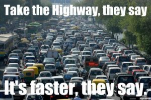
Even with though the major road, EDSA highway, has 5 lanes heading north and another 5 heading south, cars are stuck in traffic for hours in Manila.
 The problem is intensified due to the city’s hourglass shape. The business district, which inevitably attracts traffic, is located right in the middle of the city, squeezed by Manila bay and Laguna lake on each side, and wider suburbs spread in north and south of the district.
Because the business district is spatially focused in one area, the traffic going to and fro faces difficulties in mobility. The roads are highly concentrated in the business district as seen in the picture below, but with under investment in road infrastructure, road improvement constructions are in need to alleviate the problem.
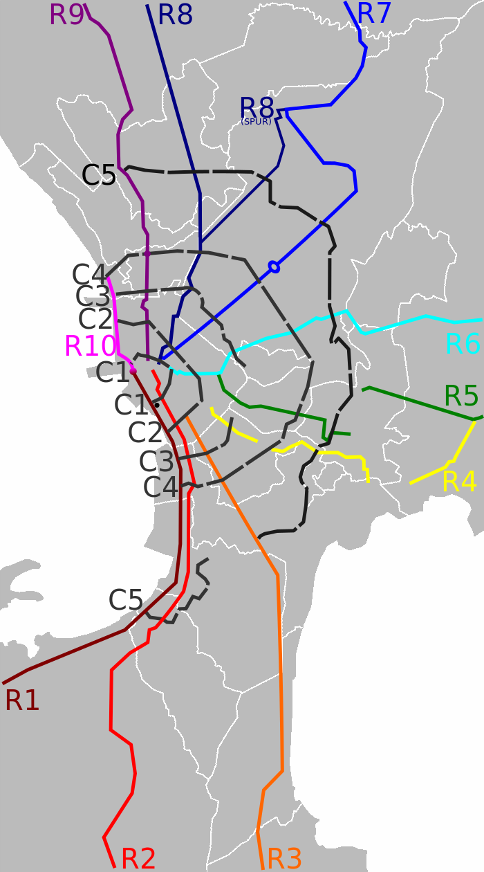
(Map of Roads in Metro Manila. Source of Photo: Wikimedia Commons)
References:
Economist, T. (2016) Traffic in the Philippines’ capital Slowly does it. Available at: http://www.economist.com/news/asia/21693631-rising-car-ownership-and-appalling-transport-policies-block-roads-slowly-does-it (Accessed: 2 March 2017)
“Metropolitan Manile Development Authority; World Bank. 2014. The Metro Manila Greenprint 2030 : Building a Vision. World Bank, Washington, DC. © World Bank. https://openknowledge.worldbank.org/handle/10986/22824 License: CC BY 3.0 IGO.”