Thesis Project: Developing 3D forest fuel estimates as inputs for wildfire risk and burn probability models
My proposed research will develop empirical 3D estimates of forest fuel load and structure and test their application for wildfire risk mapping based on fuel connectivity and burn probability. This research will use airborne LiDAR data acquired for the Okanagan Valley in 2018, which will be used to develop voxel-based 3D estimates of vertical and horizontal forest fuel structure.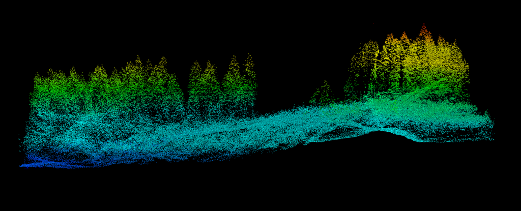
LiDAR data processed in R studio
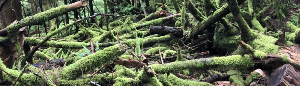
Wildfires are an important natural disturbance in forested ecosystems. However, increasing annual area burned in Canada’s forests is a growing threat to communities in the wildland-urban interface. The observed increases in annual area burned by wildfires in Canada can be attributed to multiple anthropogenic factors, including fire suppression, land use policy, and climate change, which have resulted in significant alterations to forest fuel loads. Remotely sensed data provides opportunities to quantify and model forest fuel loads at spatial and temporal scales relevant to understand ecological processes and to inform land management. By quantifying fuel loads in a forest, we can understand potential fire behaviour under a range of climate scenarios and manage the wildfire risk in that landscape. The resulting risk maps will help guide wildfire mitigation efforts in British Columbia’s Okanagan Valley, one of the most-fire prone regions in Canada. Wildfire risk maps will also serve as a useful guide for future efforts to redefine fuel classes in the Canadian Forest Fire Behaviour Prediction System and as inputs to next-generation fire behaviour models.
Project Support
Supervisor: Dr. Mathieu Bourbonnais
This research is funded by New Frontiers in Research Fund

![]()