Another news headline, another extreme wildfire has destroyed a forest, homes and even lives. How terrible, you must think. “How can we control the fire? We must stop the fire!” This has been the mentality for the last century in Canada and it has caused grave consequences. Forest managers have suppressed the wildfires so that they could control the land and feel safe, but now we are anything but safe. The truth is that the forest needs wildfire and therefore, we need wildfire.
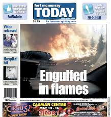
A newspaper heading from the Fort McMurray fire of 2016
Disturbance is part of the natural life cycle of the forest and most often helps the forest to renew itself. Disturbances are particularly important to the cycle of regeneration and regrowth in boreal forests. Fires, as well as insect and disease outbreaks, often occur on a large scale there, and help more than we might realize. Fire, the primary change agent in the boreal zone, is as crucial to forest renewal as the sun and rain. Forest fires release valuable nutrients stored in the litter on the forest floor. They open the forest canopy to sunlight, which stimulates new growth. The vegetation that grows right after a disturbance (primary production) is very different than the vegetation that grows in old growth forests so a fire brings back species that haven’t been around for a while, promoting biodiversity. They allow some tree species, like lodgepole and jack pine, to reproduce, opening their cones and freeing their seeds. Without wildfire, forest would lack biodiversity and general health necessary to survive.
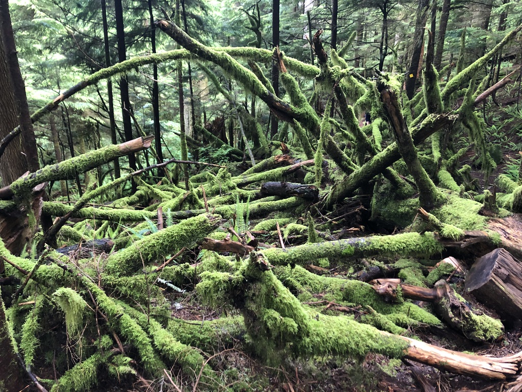
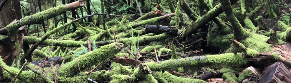
A mossy area in the forest near Lynn Valley, North Vancouver
Small and frequent fires are natural, healthy and usually prove to have minimal damage on human livelihood. Many cultures, including indigenous Canadians, used to and still do seasonally burn forests to encourage forest regeneration. Indigenous knowledge of forest structure and fire runs very deep in their culture and they are able to safely burn small sections of the forest. Upon the colonization of Canada, humans began to settle in the beautiful boreal regions. As they began to build homes, farms and communities on the land, more became at risk to the potential of fire. In British Columbia and Ontario, timber extraction and exportation was becoming a large economic influence for the country, and it was a business that viewed wildfire as a largely unfavourable. Forest managers started to put a stop to any fires that they could by means of deforestation, clearing of forest floor litter and extinguishing any fires that started. However, without realizing it, they were setting the forest up for eventual destruction. In fact, suppressing fires has loaded forests with combustible material that will burn way bigger than the initial fire that was suppressed. A century of wildfire suppression (along with climate change and land use policies) has set landscapes up for fewer but much more drastic fires that destroy entire communities, such as the Fort McMurray Fire in 2016 and the Mountain park fire near Kelowna in 2003. As we gain more knowledge on fire regimes and human impact on them, new forest strategies are being developed to get the forest back to smaller and more frequent fires.
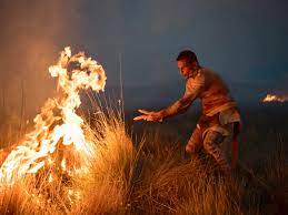
A cultural burn by the Syilx people of the Okanagan Nation
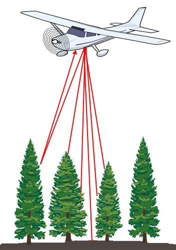
The way forests were managed in the past was unsustainable, as we are now learning the hard way… but the big question is how do we intervene to lower the wildfire risk? Well that is a research question that I and many others in the wildfire science field are trying to determine. Now you’ll notice that I say lower the “wildfire risk” as opposed to lower the amount of wildfires because that is not the end goal here. Wildfire risk can be generally defined as the potential for realization of adverse or beneficial consequences to Highly Valued Resource or Assets (HVRAs) in a given area. Assessing the wildfire risk includes an appraisal of the interaction of hazard, exposure, and effects to a given set off HVRAs in a given area. Components of wildfire hazard include the likelihood of burning and distribution of wildfire intensity given that a burn occurs. Components of effects include intrinsic HVRA factors (i.e. timber) as well as broader environmental factors (i.e. grizzly bear habitat). Some of the ways that scientists and resource managers are attempting to lower the wildfire risk include, but are not limited to: prescribed burning, heterogenous tree planting in the logging industry, limiting anthropogenic development and creating larger parks where forests are unmanaged and burn naturally. Many strategies are being applied to forests throughout Canada and time will tell just how effective they are.
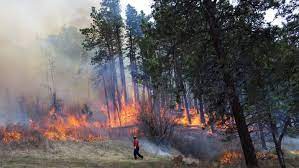
A prescribed burn on Vancouver Island, BC
Wildfires are often described as a ‘wicked problem’ as there is social aversion to prescribed burning and other forest protection measures, due to our resource-oriented cultural history and general fear of fire destruction. There is no clearcut solution to lowering wildfire risk, and it is likely more of a case by case situation but as you know, we are pressed for time with the 2021 fire season coming around the corner. Developing a general wildfire risk reduction procedure is an important step in protecting the environment and humans, which comes with a deep understanding that we aren’t getting rid of fire anymore, but learning how to live with wildfire.