A4 | Above, At & Below Ground | Yette Gram

In-Class Sketching

Drawings recording the water drainage pathways on my house.

Assignment 4

Visual notes and analysis of the rainwater drainage system at the Vancouver MEC Headquarters on Great Northern Way.

A4: Above, At, and Below Ground – Marissa

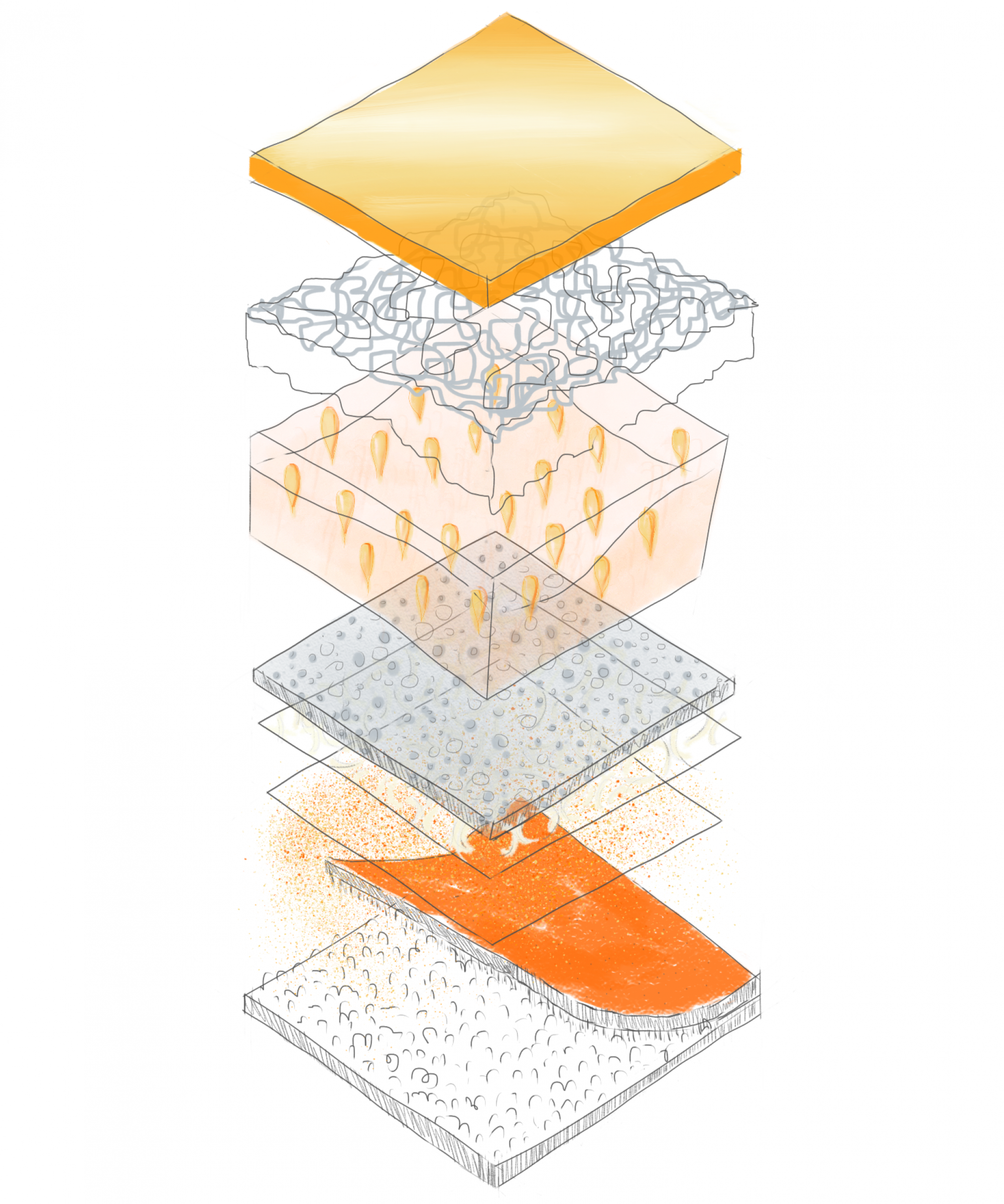
What is happening along the Wild Pacific Trail, in and under the forest? The presence of exposed bedrock indicates that the soil depth throughout the forest could be limited, determining what types of plants grow where and how much water they might receive. This section considers how the exposed rock sometimes interrupts the trail system, and usually can only host small species such as mosses and ferns.
In-class exercise: Apartment building is built into a steep slope along Fraser Street in Vancouver.
In-class exercise: Rain water flows from the roof through a central pipe system, there are no downspouts on this old building.

A 4 | Above, At & Below Ground | Jennifer Reid

In class activity

This sketch shows the location of the major downspouts on the house in which I live.

The Nest, UBC: On-site Sketches

This is an elevation of the Nest building standing opposite of the main plaza there. I made the mistake of bringing a small sketchbook to the site, which I immediately regretted upon experiencing how difficult it was to fit all the desired elements on the small pages.
This should have been part of the previous drawing. It was meant to illustrate the height of the old student union building (now called the Life building) compared to the new one, at least from where I was standing. The Nest building is actually much taller.

This is probably not an easy sketch to read. The top half is a plan view of where I was and what I could interpret from standing there. The sketch below attempts to show what I could see in front and beside me in perspective. The outdoor area where the garden is was closed so I couldn’t actually step outside to investigate any drainage points for rainwater runoff. That being said, a large white roof was visible, situated just behind the outdoor play area which belongs to the daycare.
This is the white roof mentioned in the previous drawing. It has what appears to be a drainage point near what I perceived to be the center of the roof, and holes on each of the parapet walls. These holes might be for overflow, in case of heavy rainfall or perhaps the occasional snow melt which always melts very quickly in our climate. This is something I decided to explore further using aerial photos.
This is a plan view of continuation of the previous plan view. I wanted to figure out which areas inside would receive the most sunlight, and which were the most shaded. The hallway opposite of the nest theater was nice and shady, whereas the study area opposite of the nest down on the third floor was super bright and sunny. The skylights above also casted some interesting shadows.
This is another sketch that is not easy to read. This is a drawing I meant to clean up on the computer. Something I noticed from where I was standing is that the trees outside area actually shorter than the building.
I went to the Gallery restaurant as it was the only above-ground outdoor space in the Nest which was open. Something I notice here was that the paving stones have small gaps between them which would allow rainfall to enter.
Here is a section of the paving stones showing where the rain would hit, and where the runoff would enter. I am not sure where this water would collect, but It is something I have been meaning to explore further.

Further exploration

This digital drawing is based on my site sketch, but building height in relation to surrounding objects should be more accurate. I plan to further develop this further.
This is a plan view of the roof, which I used a aerial photo to figure out where all the drainage holes are. The arrows indicate the direction of rainwater runoff towards the drain. This is another drawing which needs some further development. The garden is at the top left, and the skylights are situated to the right of it.

Section arriving soon……

Assignment 4_Wenwen Zhuang

Centre for Interactive Research on Sustainability (CIRS)

CIRS is built on a slope.

Its LID system bascially consists of the green roof, rain garden, and water treatment system. Stormwater is collected from the highest roof top and storaged by underneath cistern, treated by water treatment plant, and finally supports back to the daily uses in the building and also irragate the rain garden and the verticle planting.

A4 | Above, At & Below Ground | Noora

Repost from A3: Based on feedback, I attempted to draw the upper level with more context and greater clarity for the roof garden. However, I found that this cluttered the drawing, and that I wasn’t able to find a good perspective efficiently enough. Instead I’ve attempted to create a series of diagrams that work collectively to show the space.
This sectional diagram builds on the above axonometric to show key spaces and context. Perhaps the largest limitation of this drawing is the failure to show the ramps, and the omission of the slope which moves laterally in front of the roof garden area.
Diagrams to show the movement of stormwater from the roof of the museum through a constructed wetland.

Spam prevention powered by Akismet