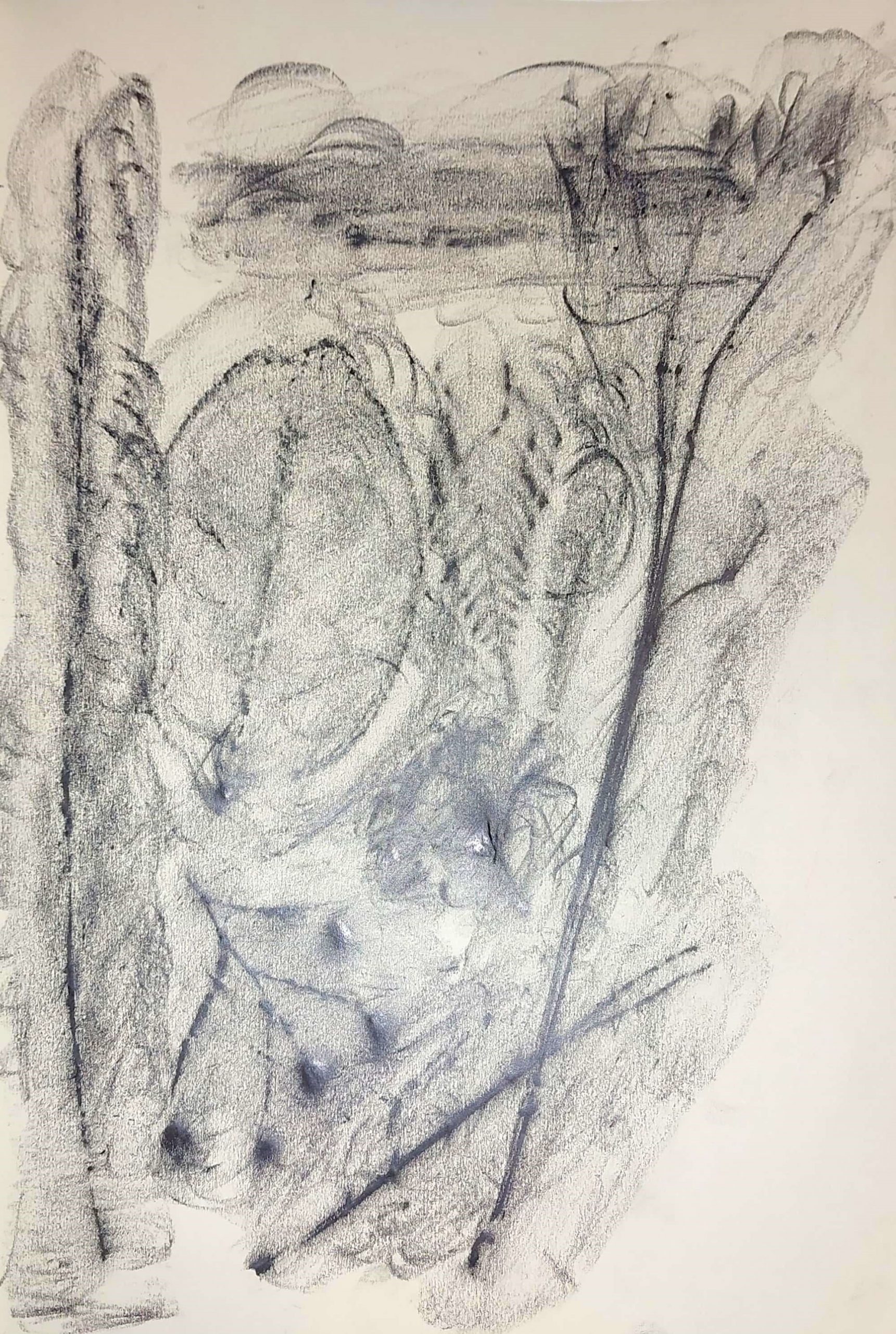
In Class

At Home
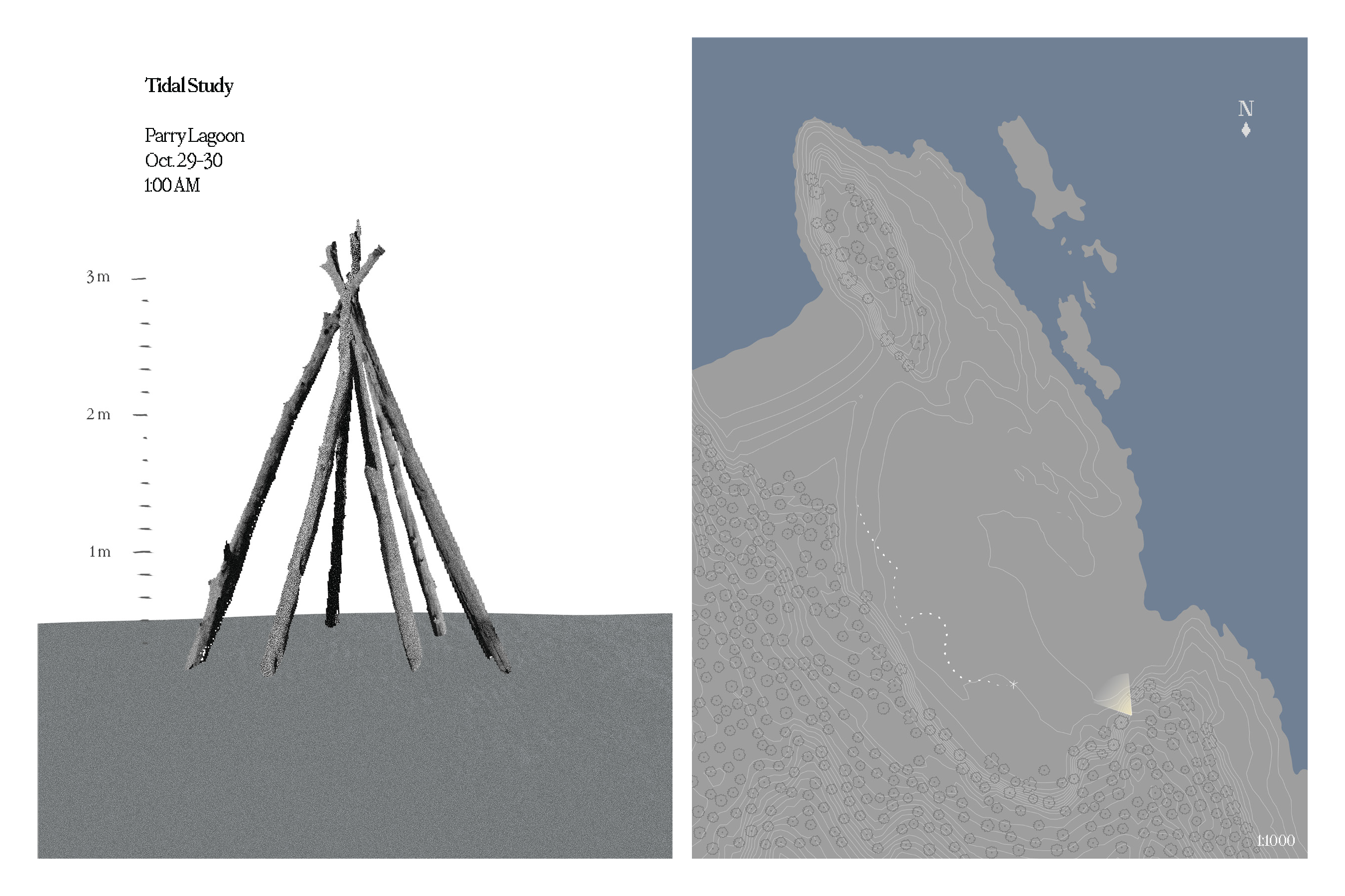
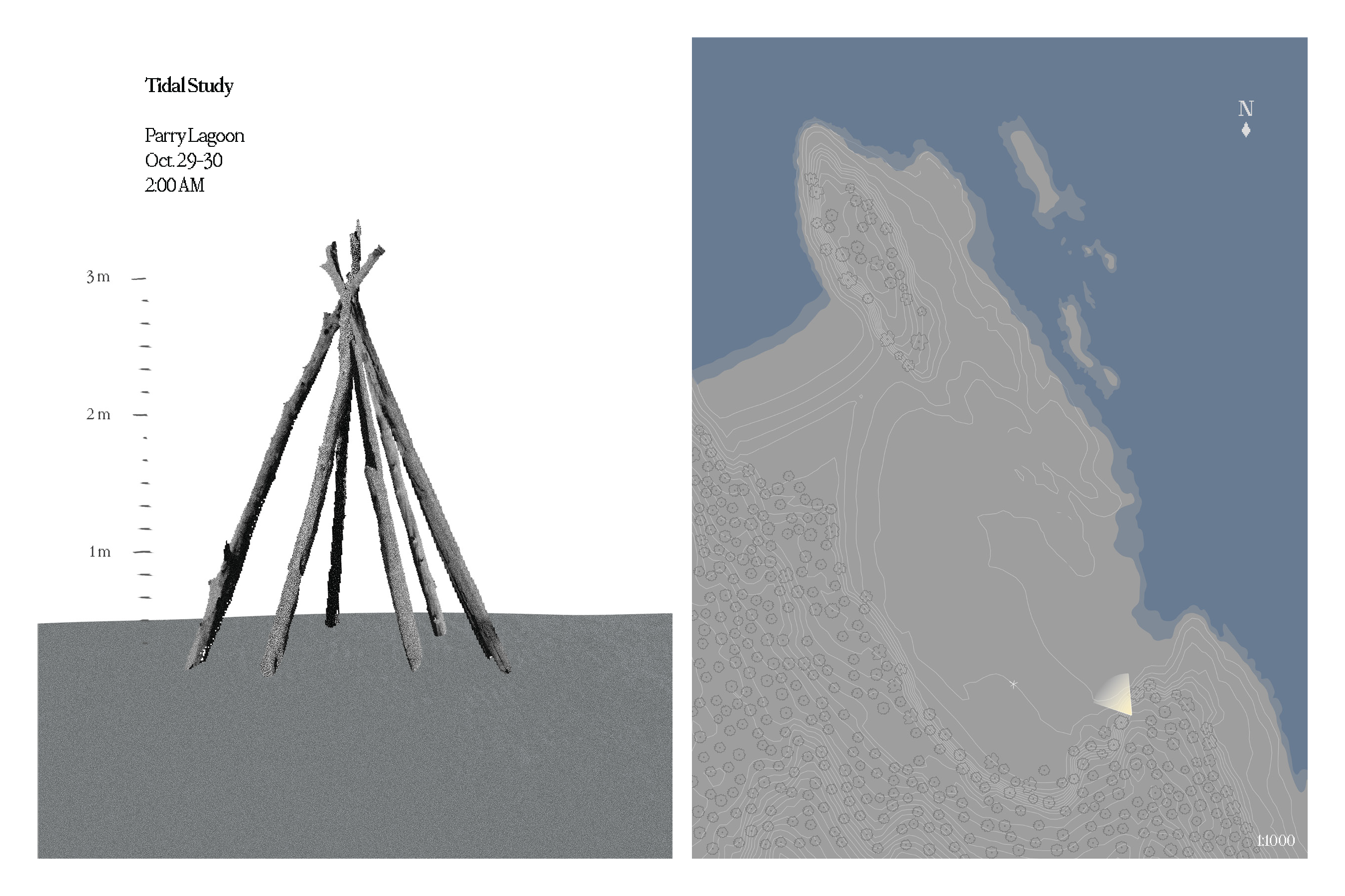
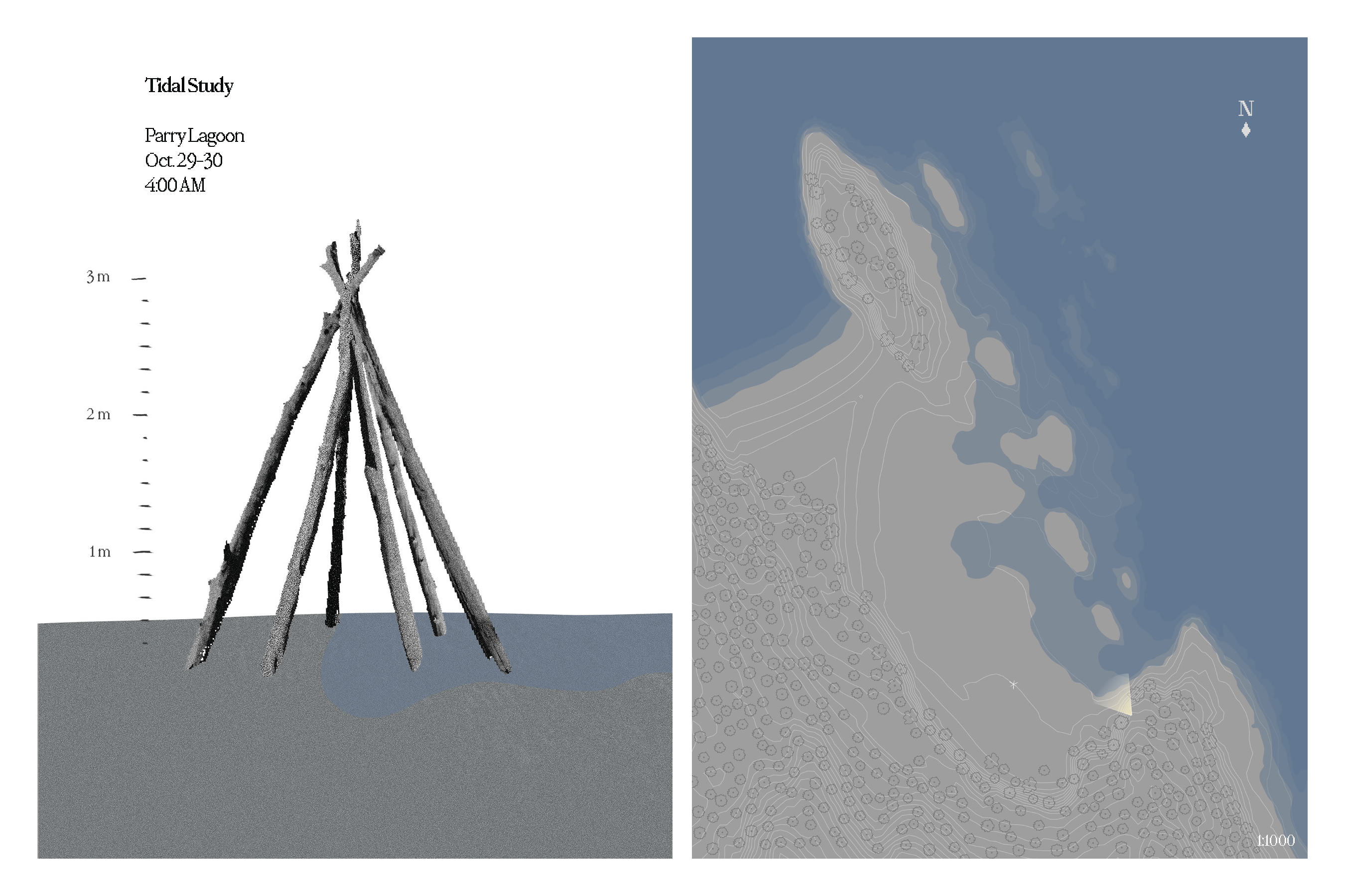
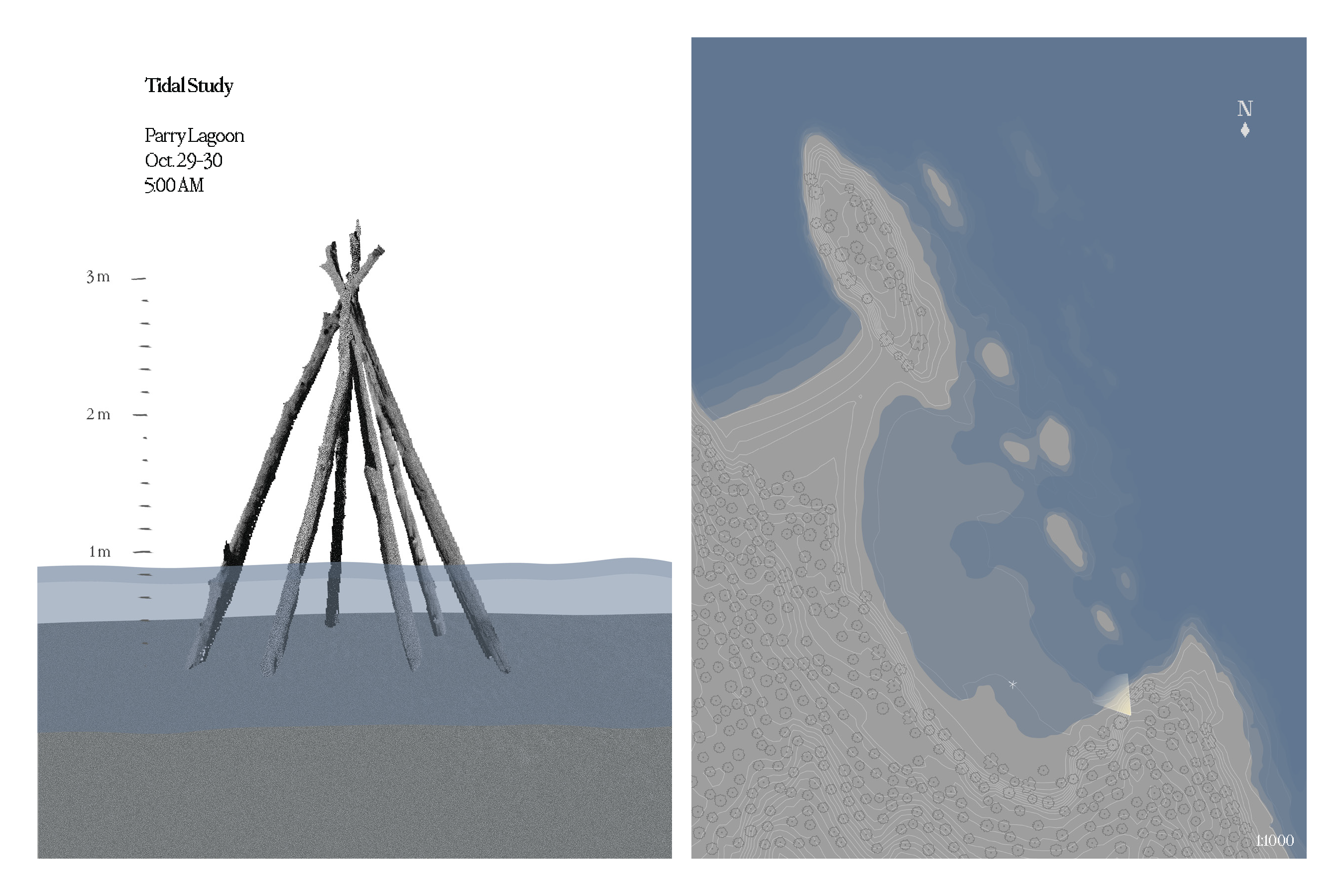
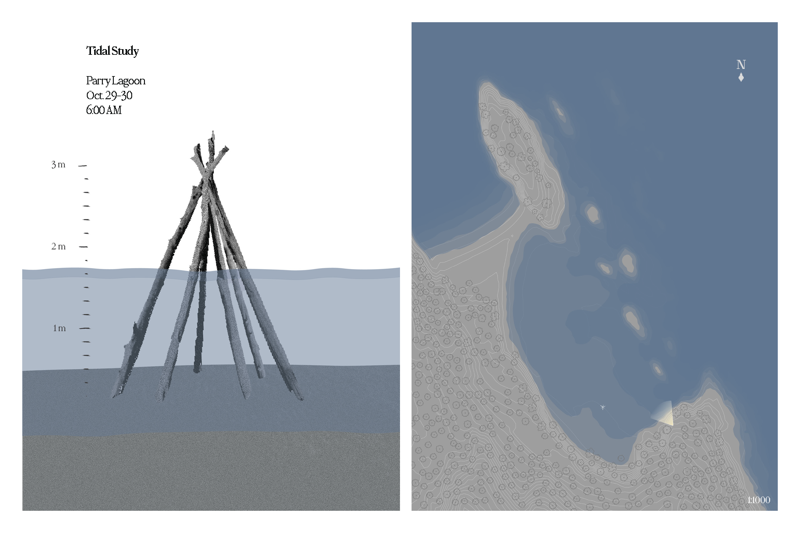
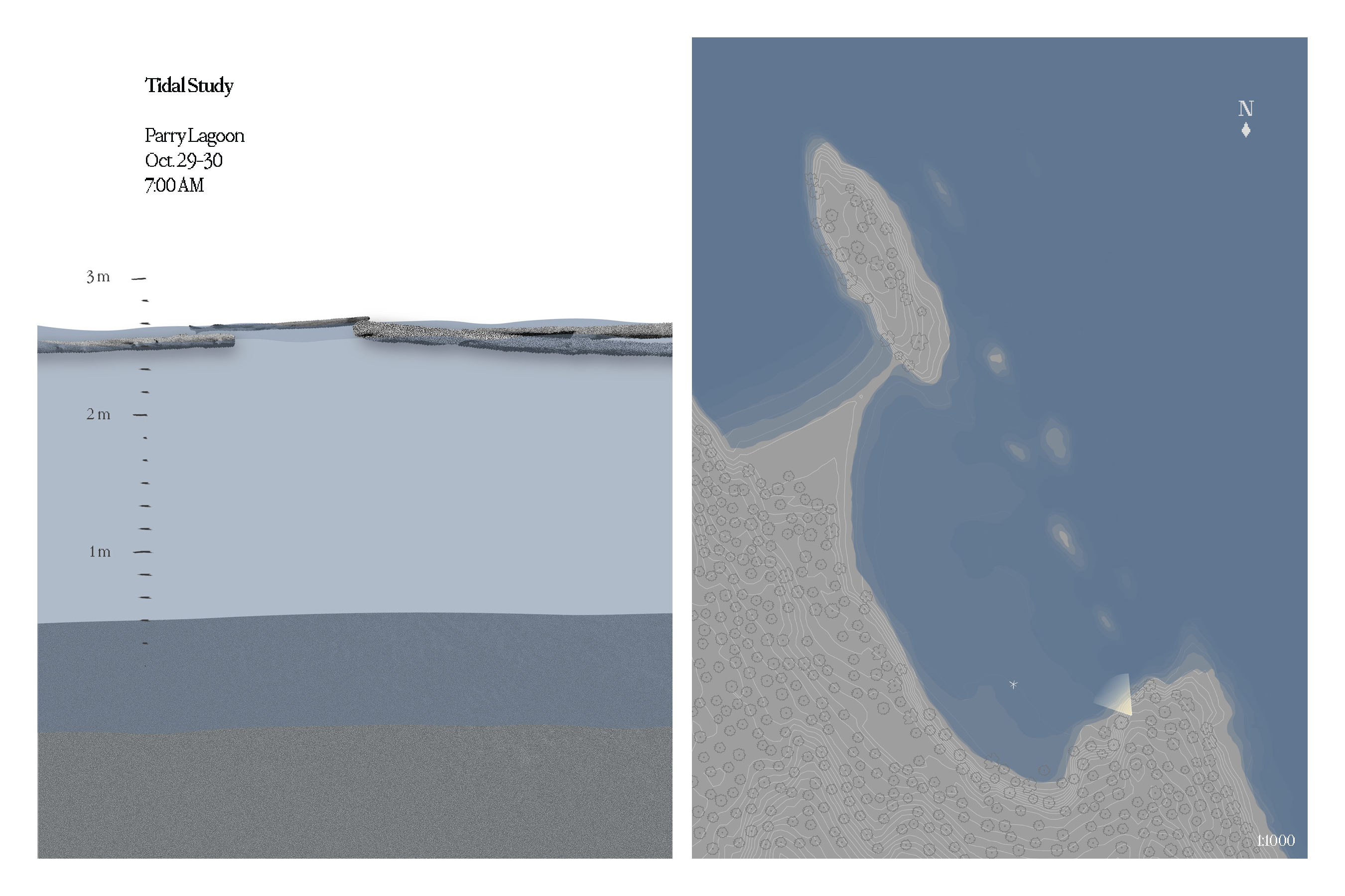
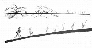
The following are a sequence of diagrams with an accompanying plan that document the impact of rising tide on a makeshift structure I built.

School of Architecture and Landscape Architecture, University of British Columbia
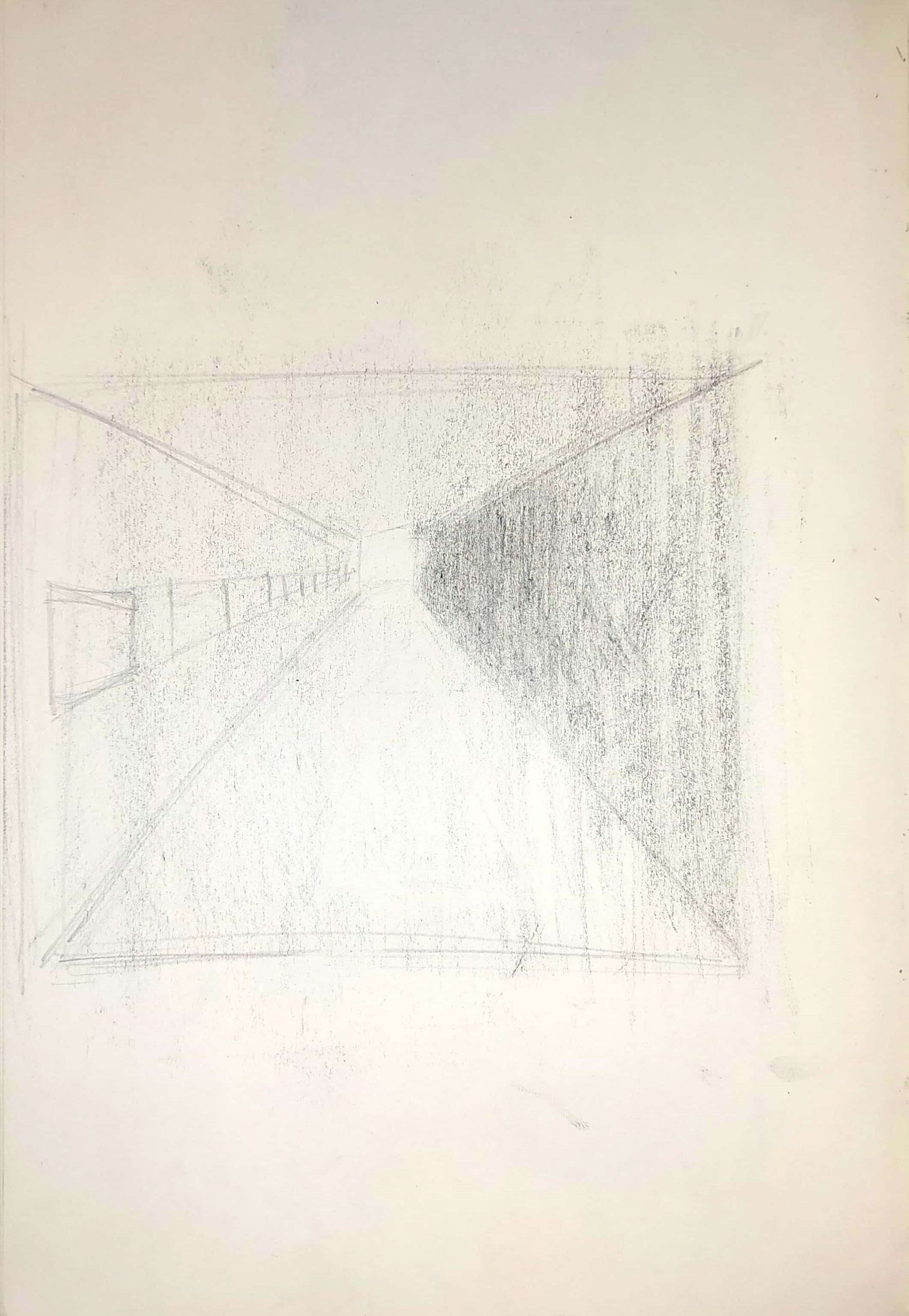
In Class
At Home
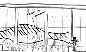
The following are a sequence of diagrams with an accompanying plan that document the impact of rising tide on a makeshift structure I built.
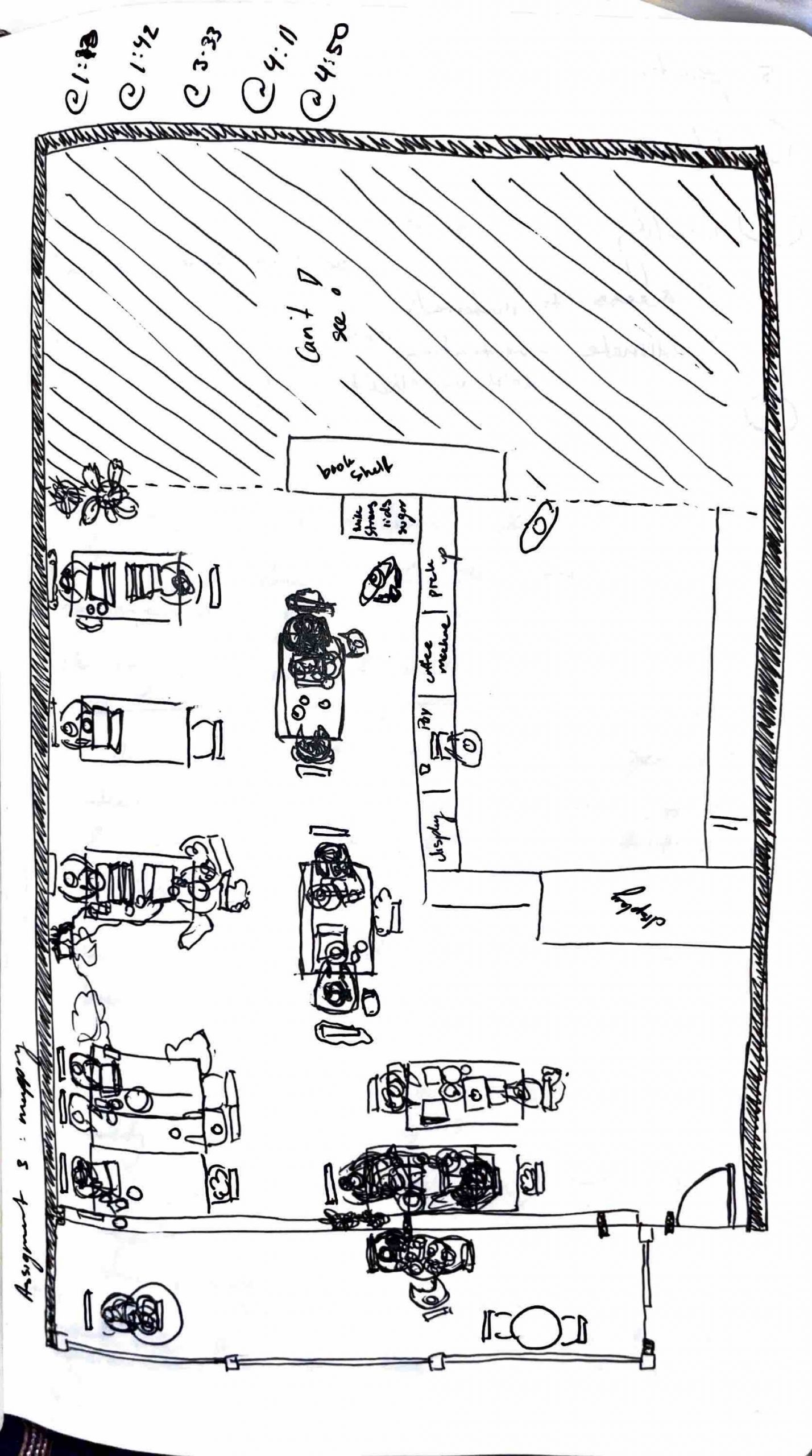
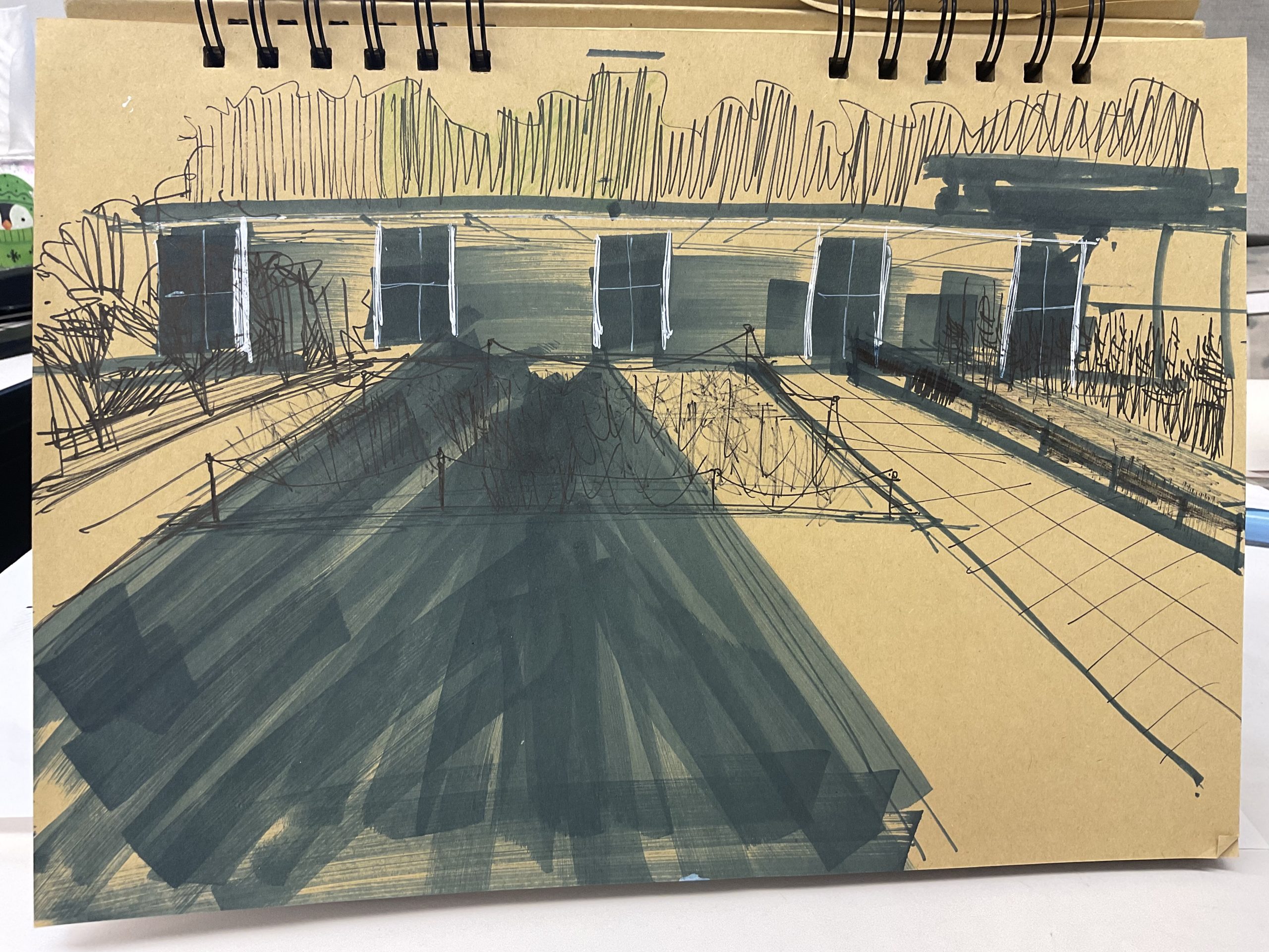
In class exercise

mapped the occupancy of benches along english bay
At home exercise
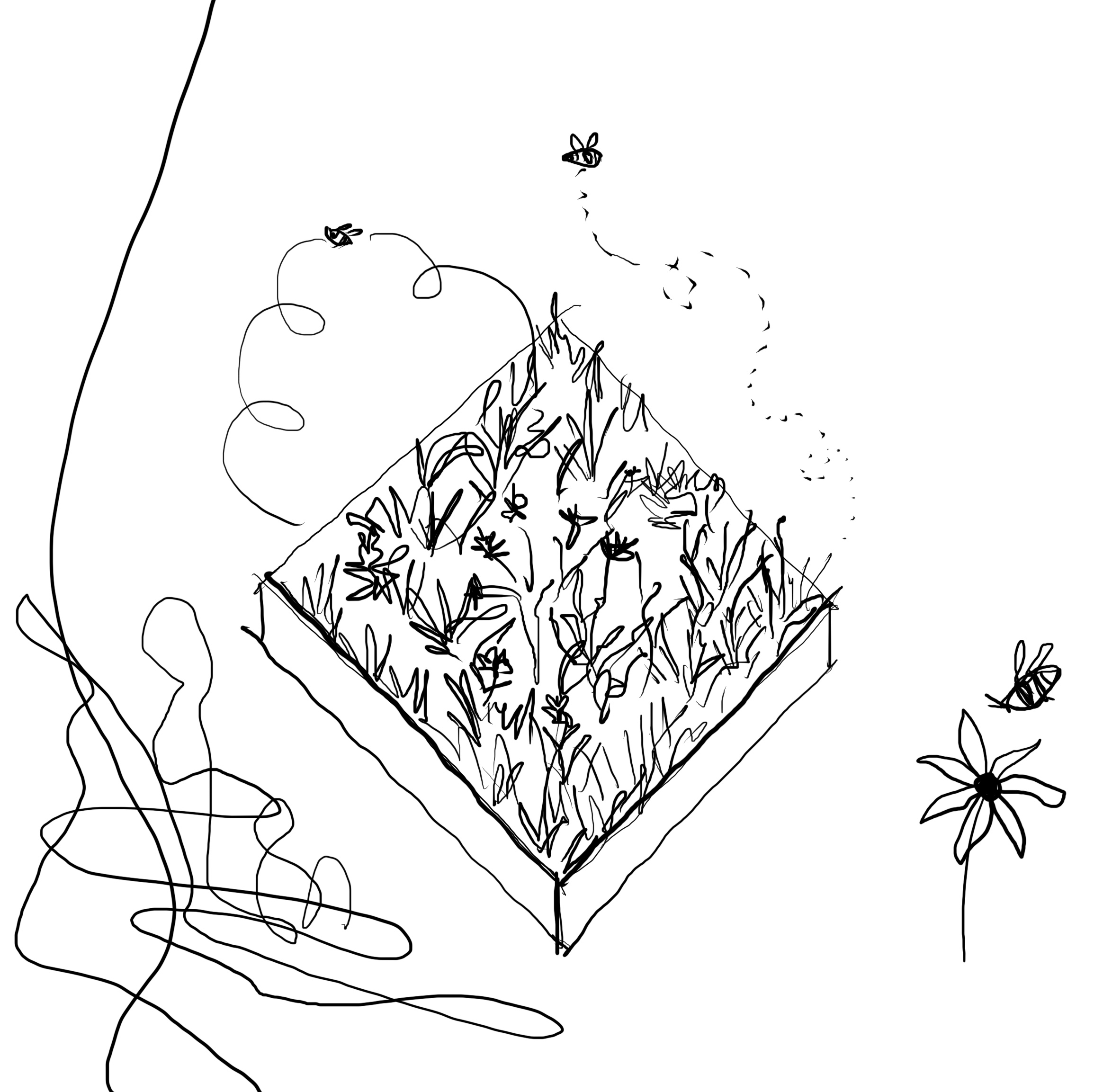
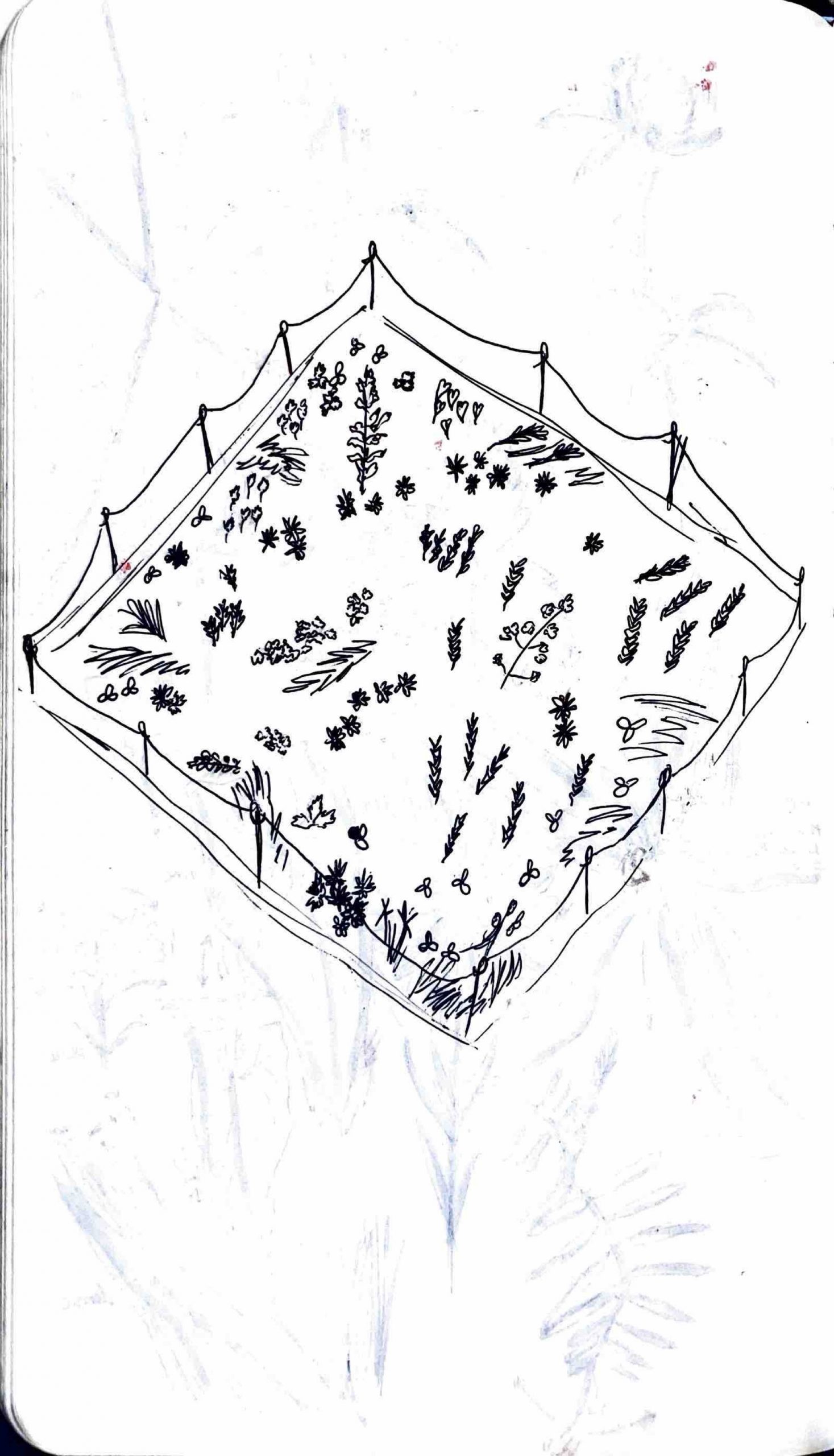
In class: 
a map of the plantings:
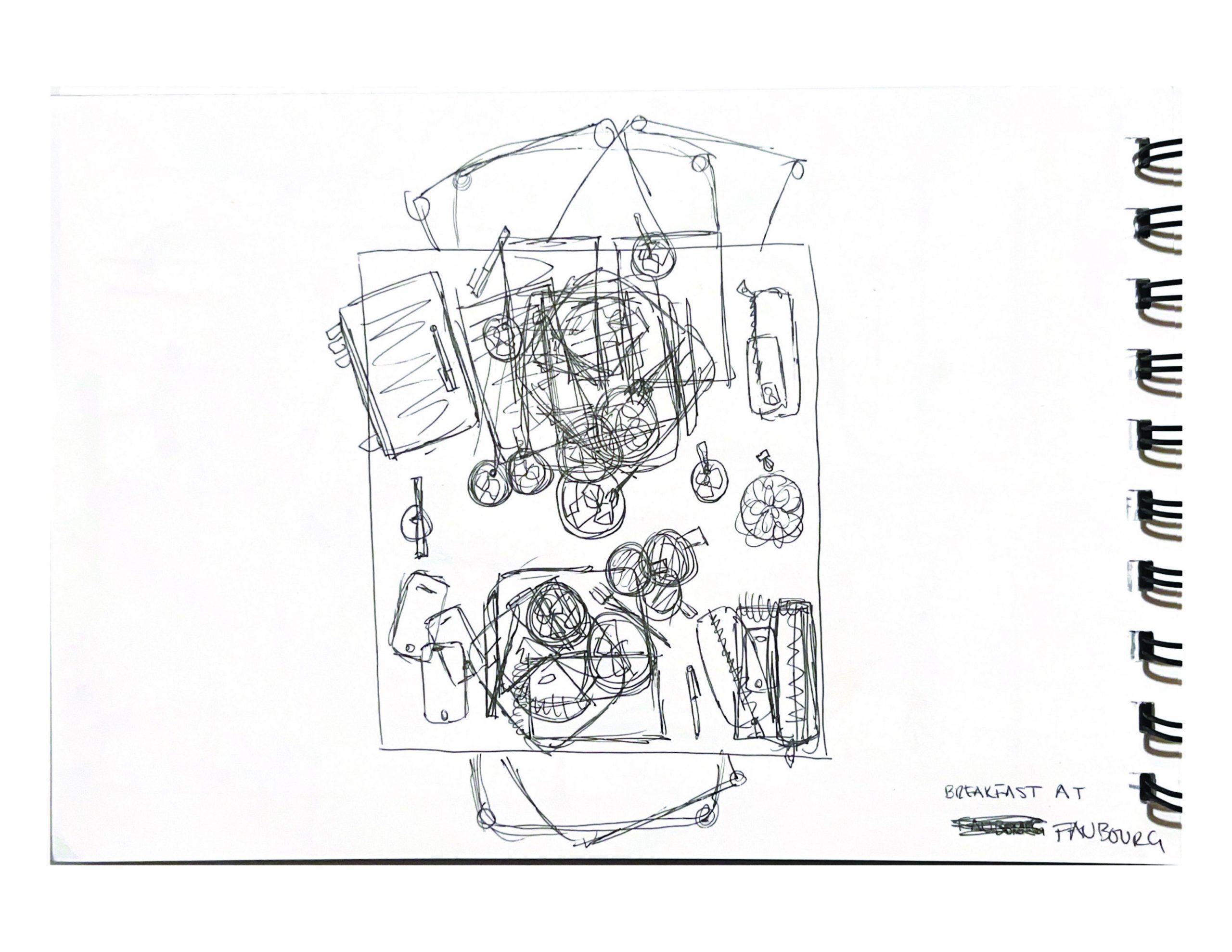
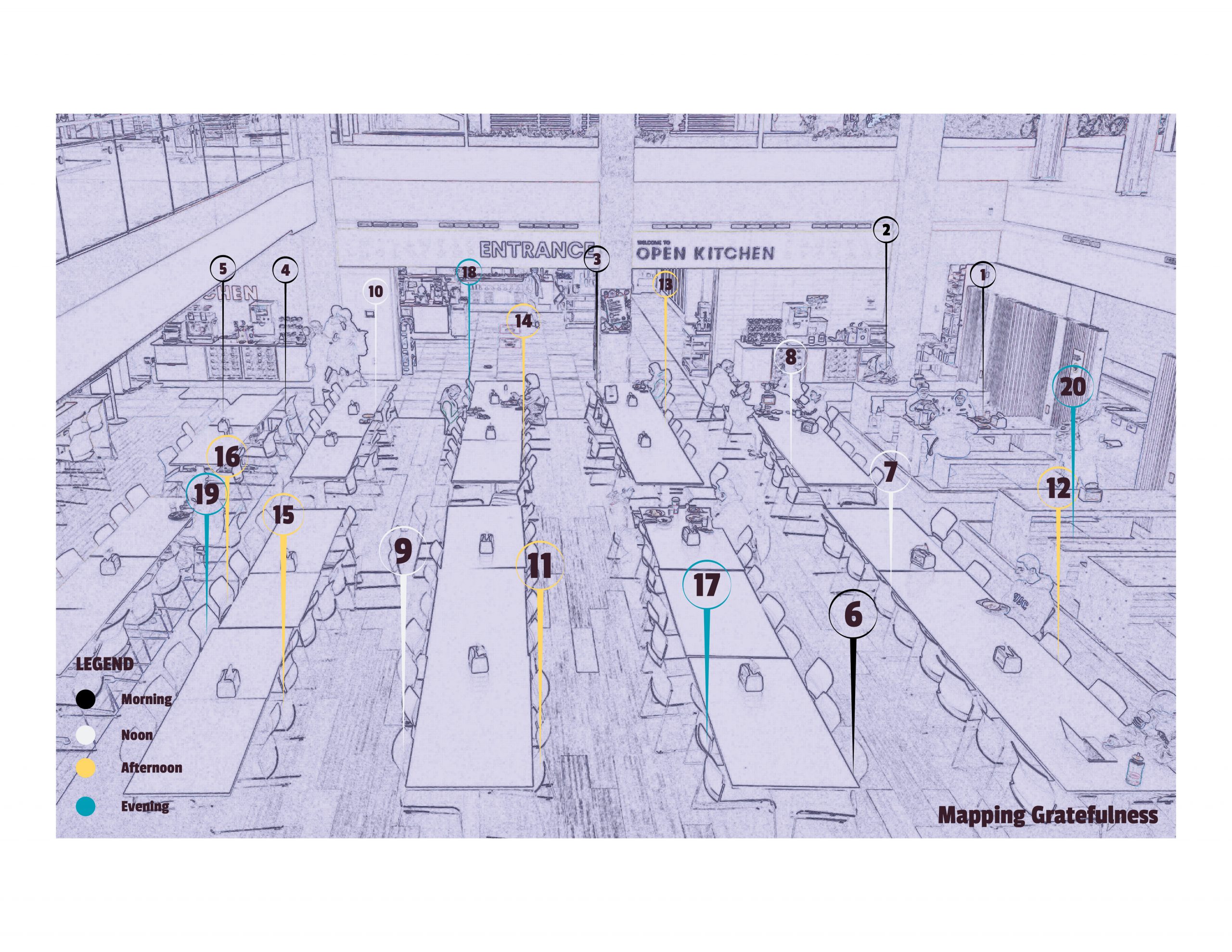
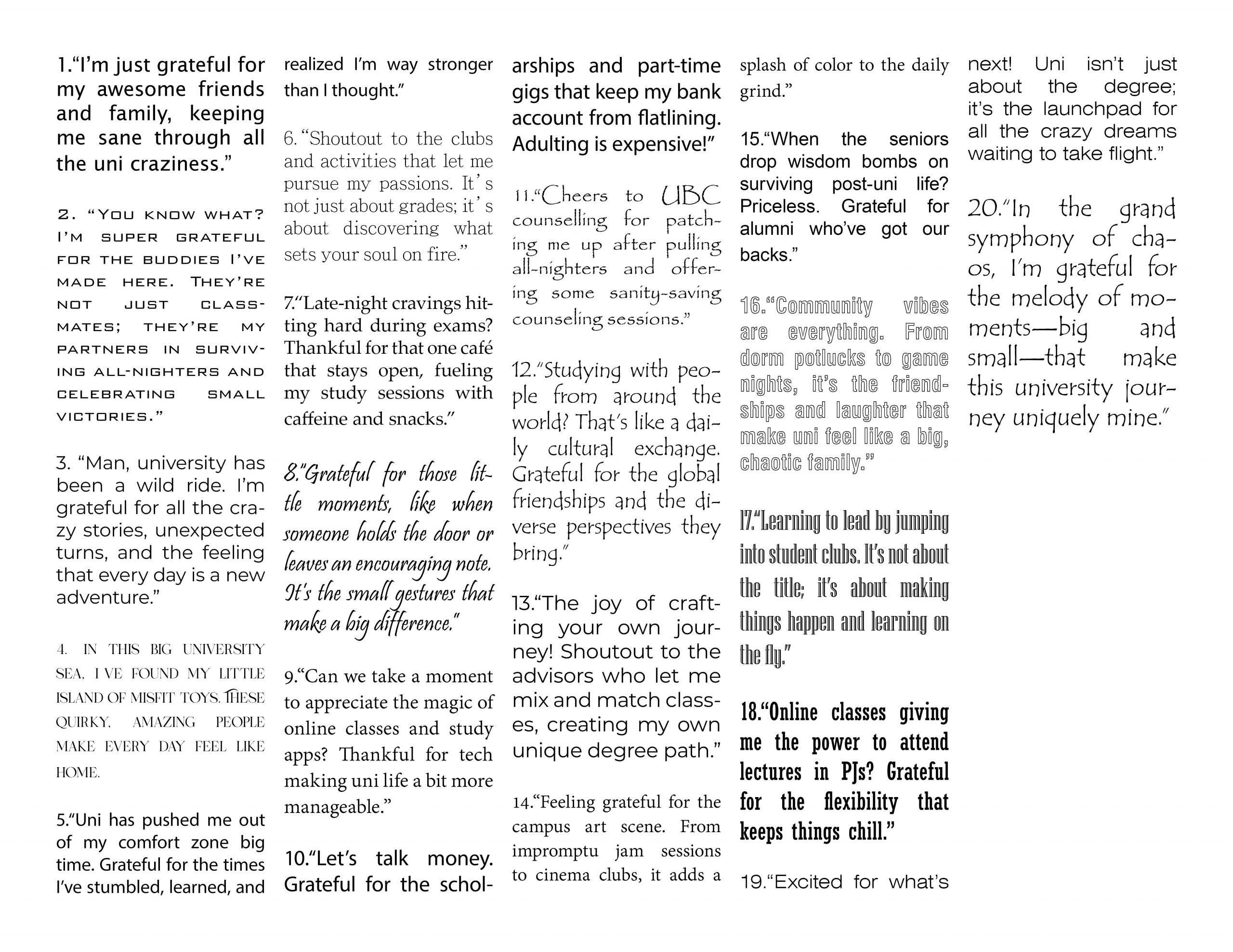
at home: cafe mira through the hours
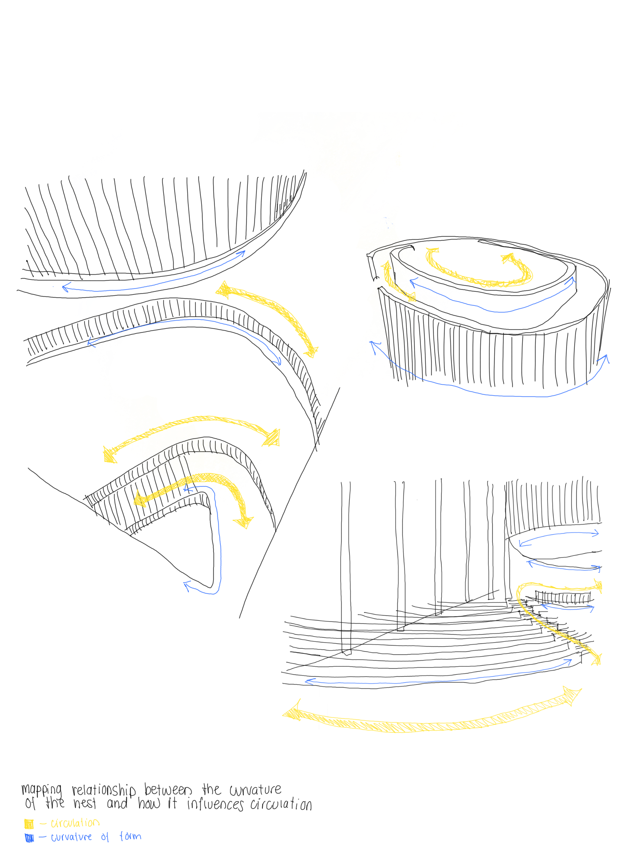
In-Class exercises:
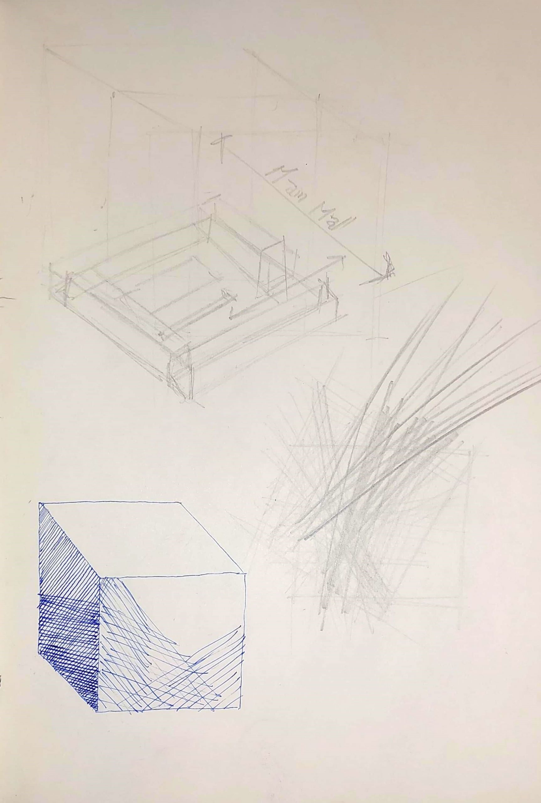
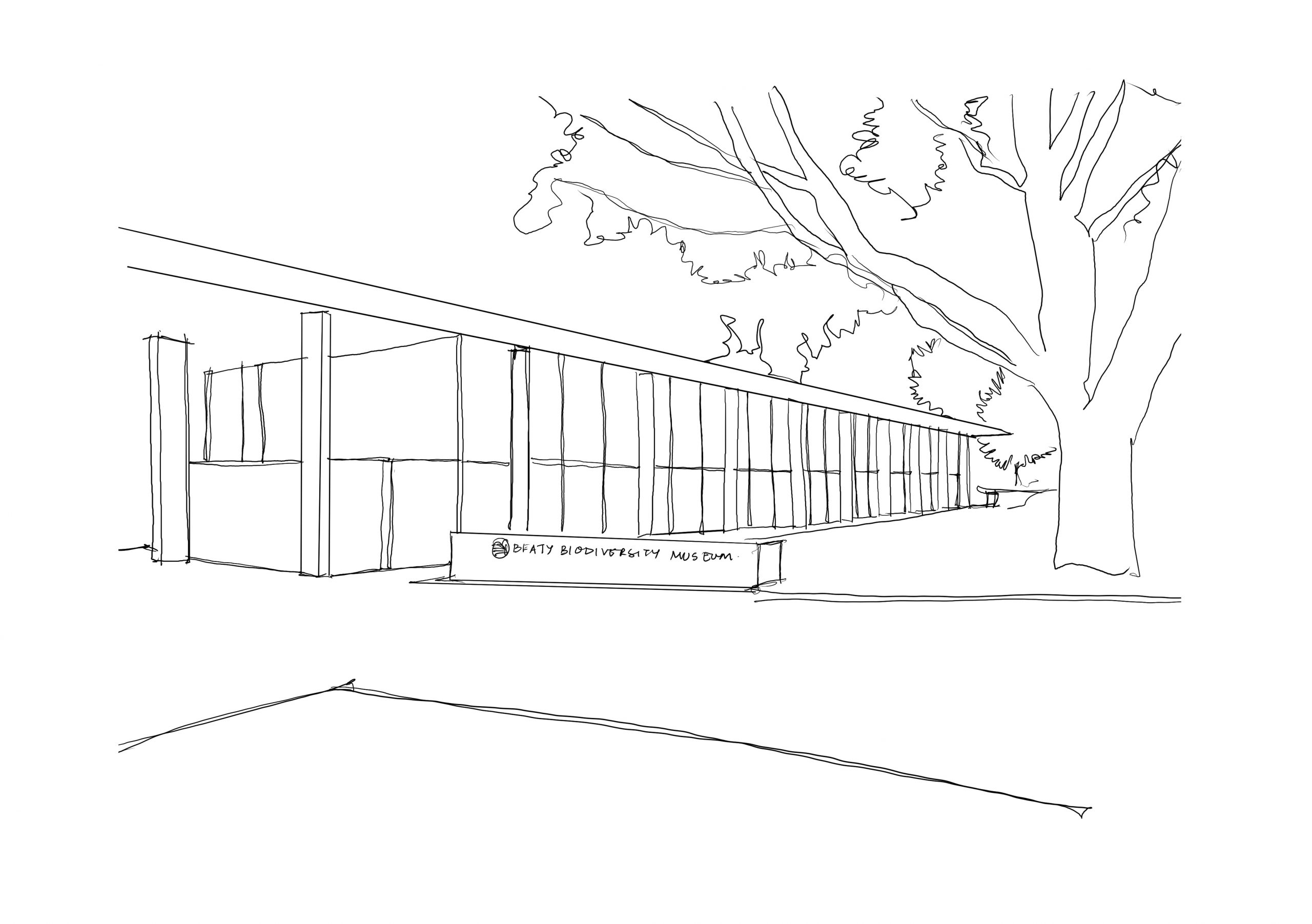
Isometric view of the Beaty Biodiversity Museum
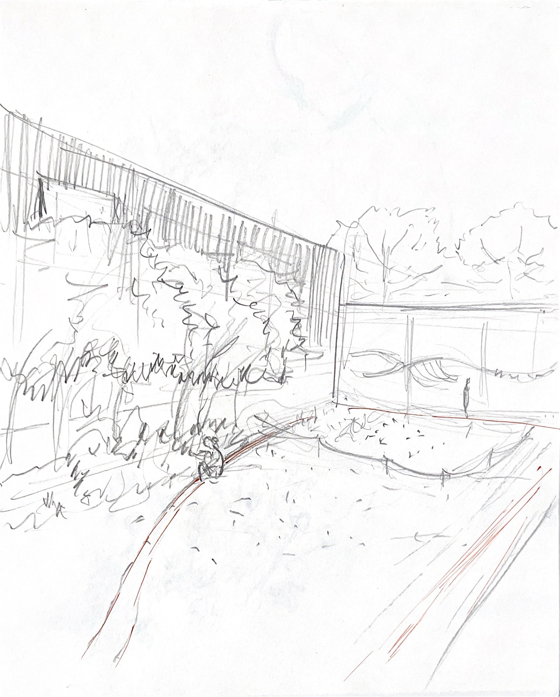
in class


at home
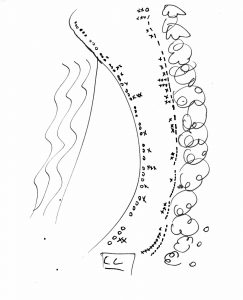
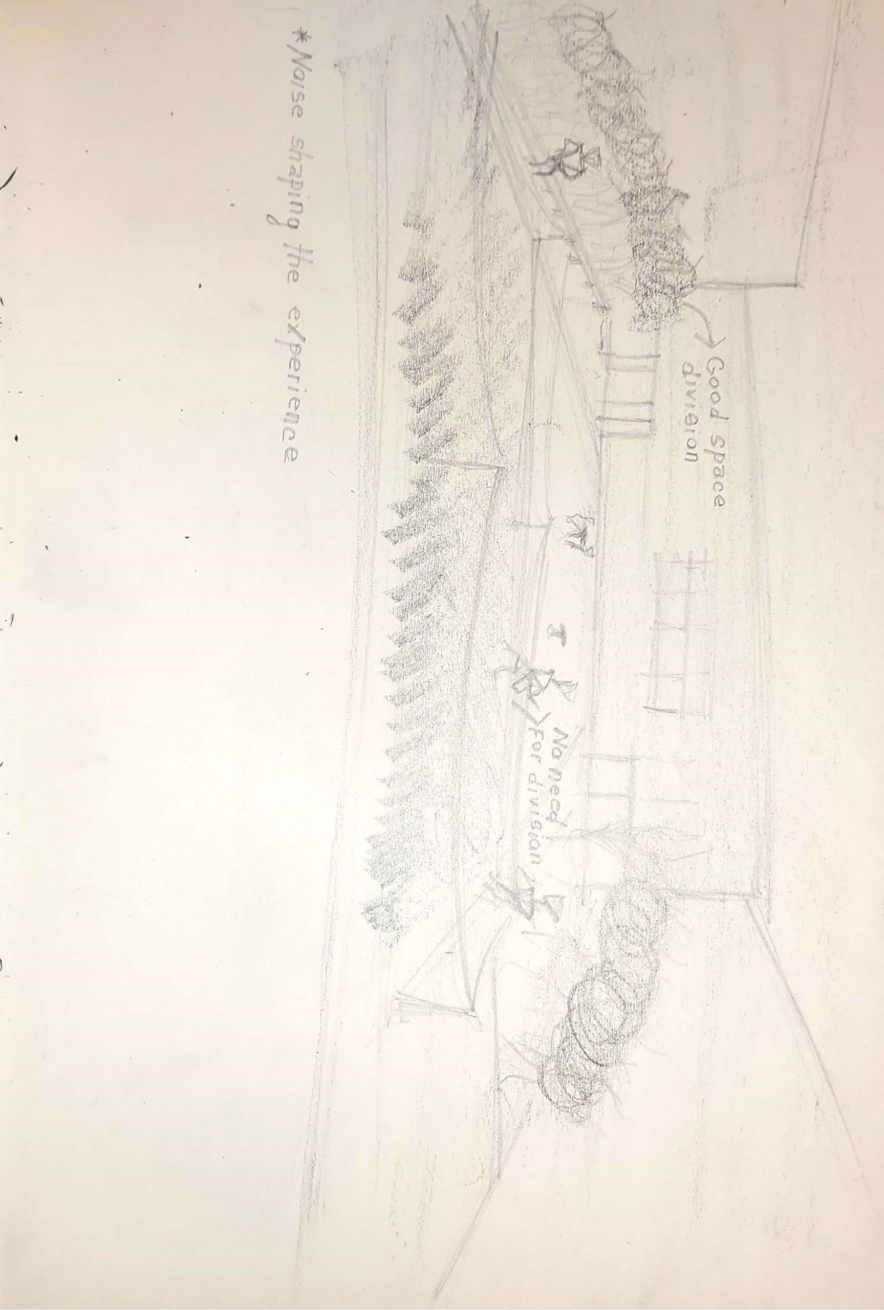
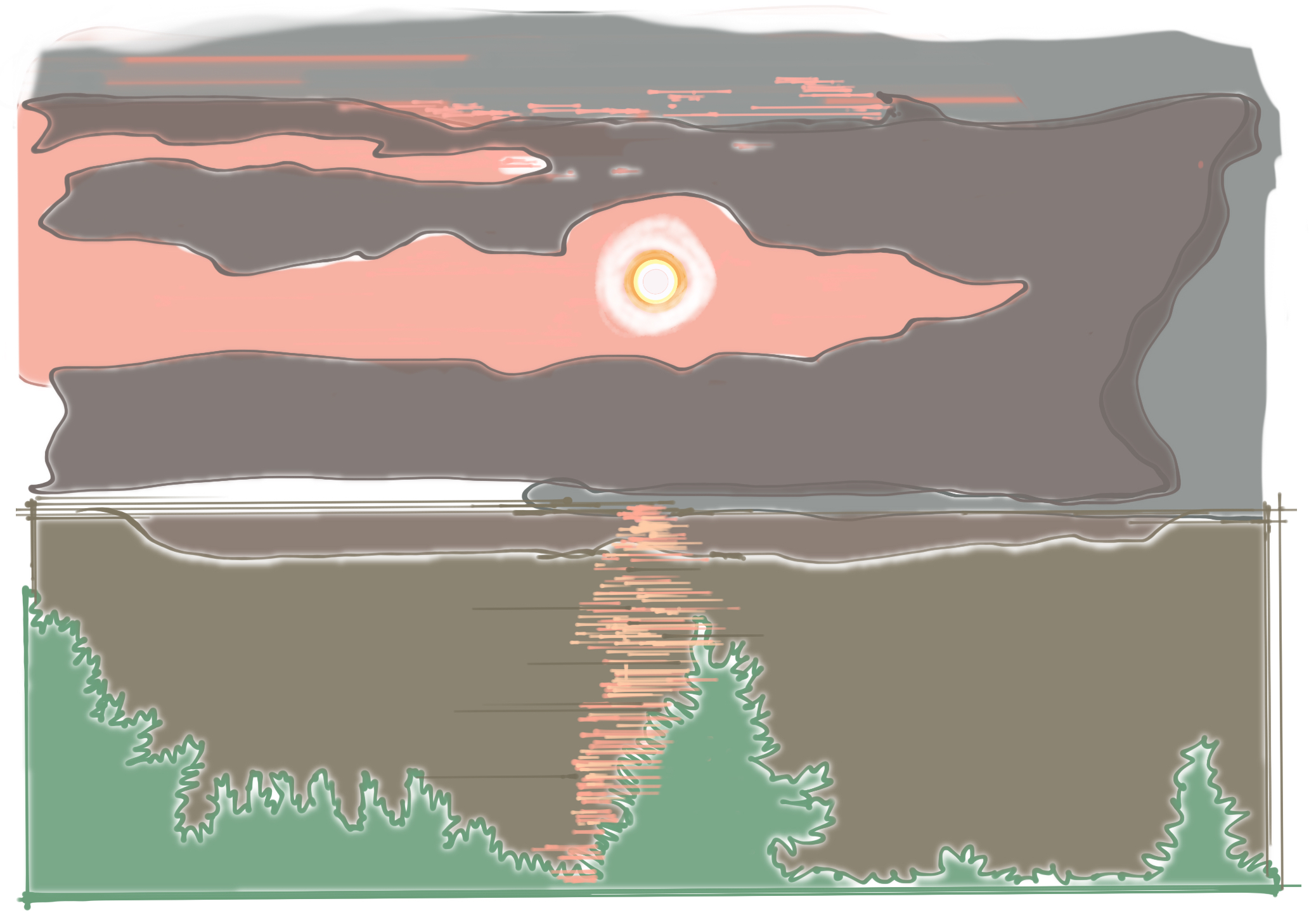
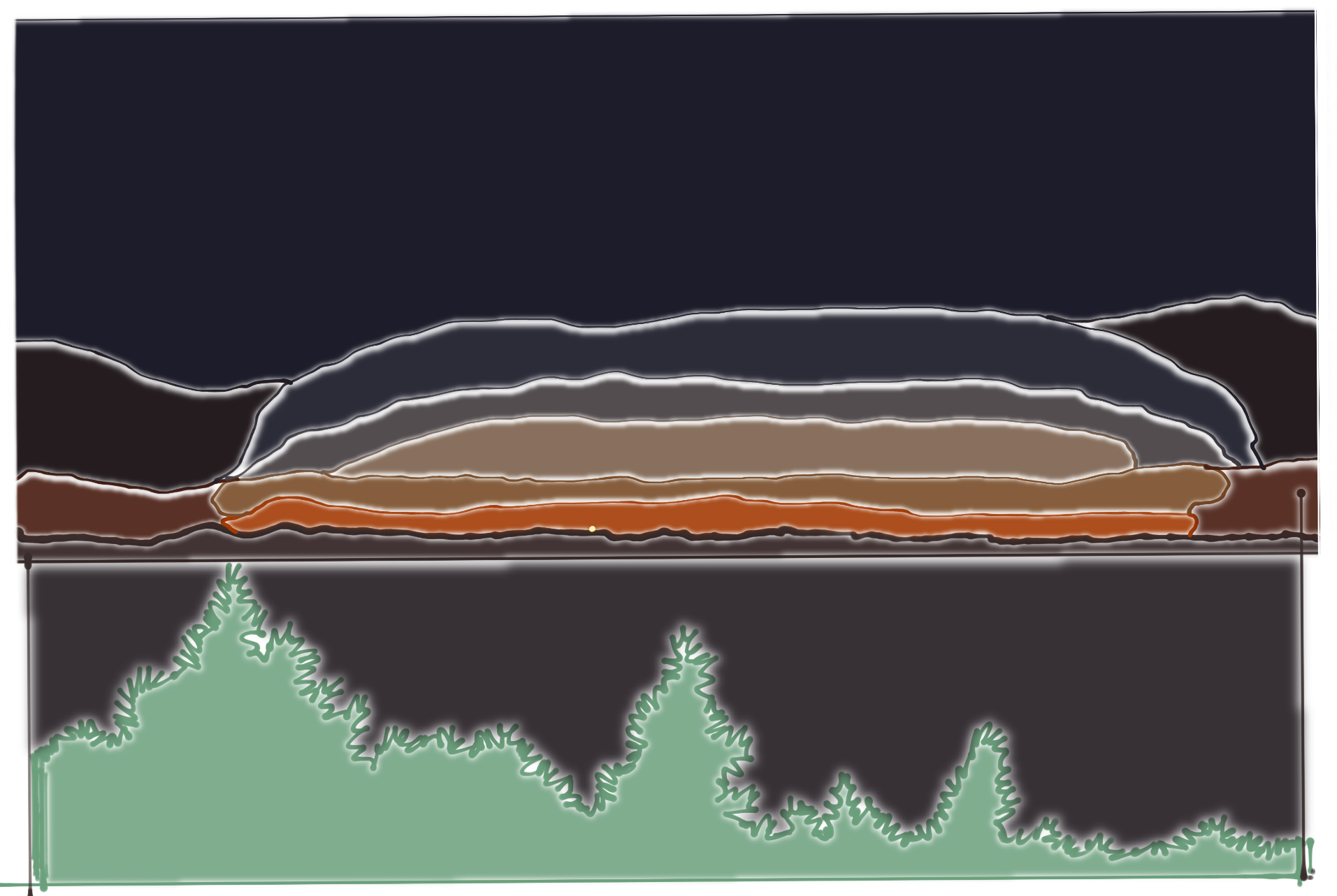
mapping of the sunset

In Class:
At Home:
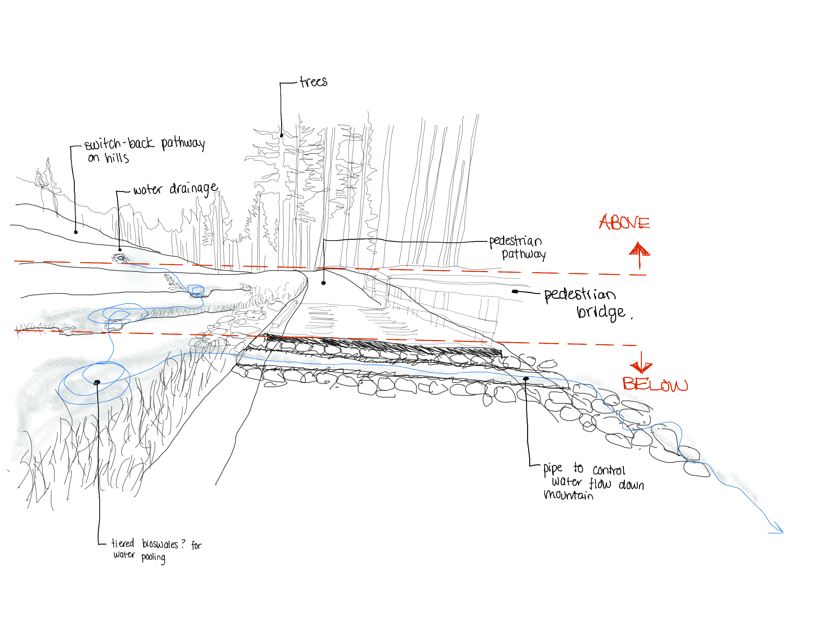
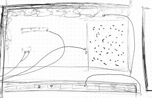
For this assignment, I tried to analyze a stormwater management system that is a part of the new developments on Cypress Mountain. The surrounding area is still under construction but the water system has been designed to control the flow of water down the mountain face which intersects with the new development and public trail system. At this location, the water flows down and through the mountain face and is pooled into three tiered ponds before continuing its way below a small pedestrian bridge and down the mountain some more.
At Home:
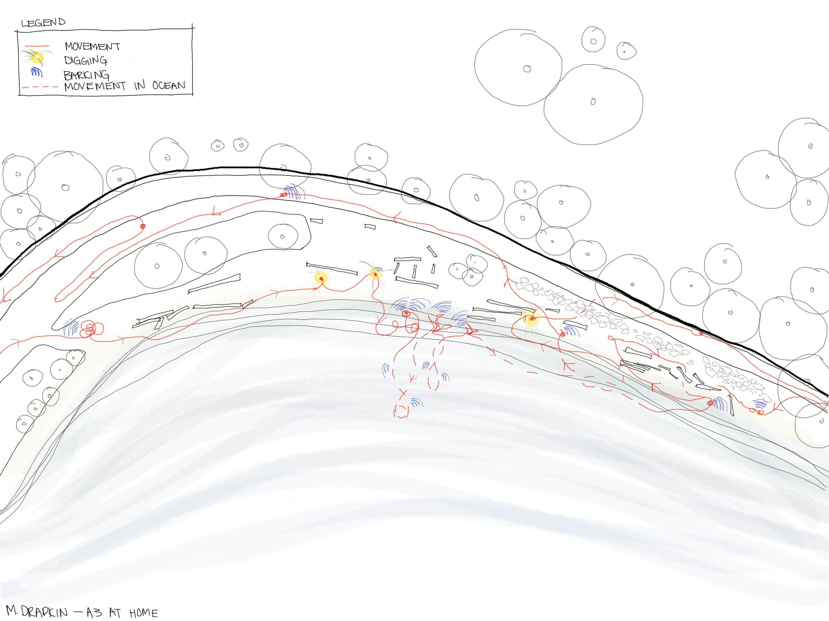
For this assignment, I mapped the movement of my dog, Alvin, at the dog beach.