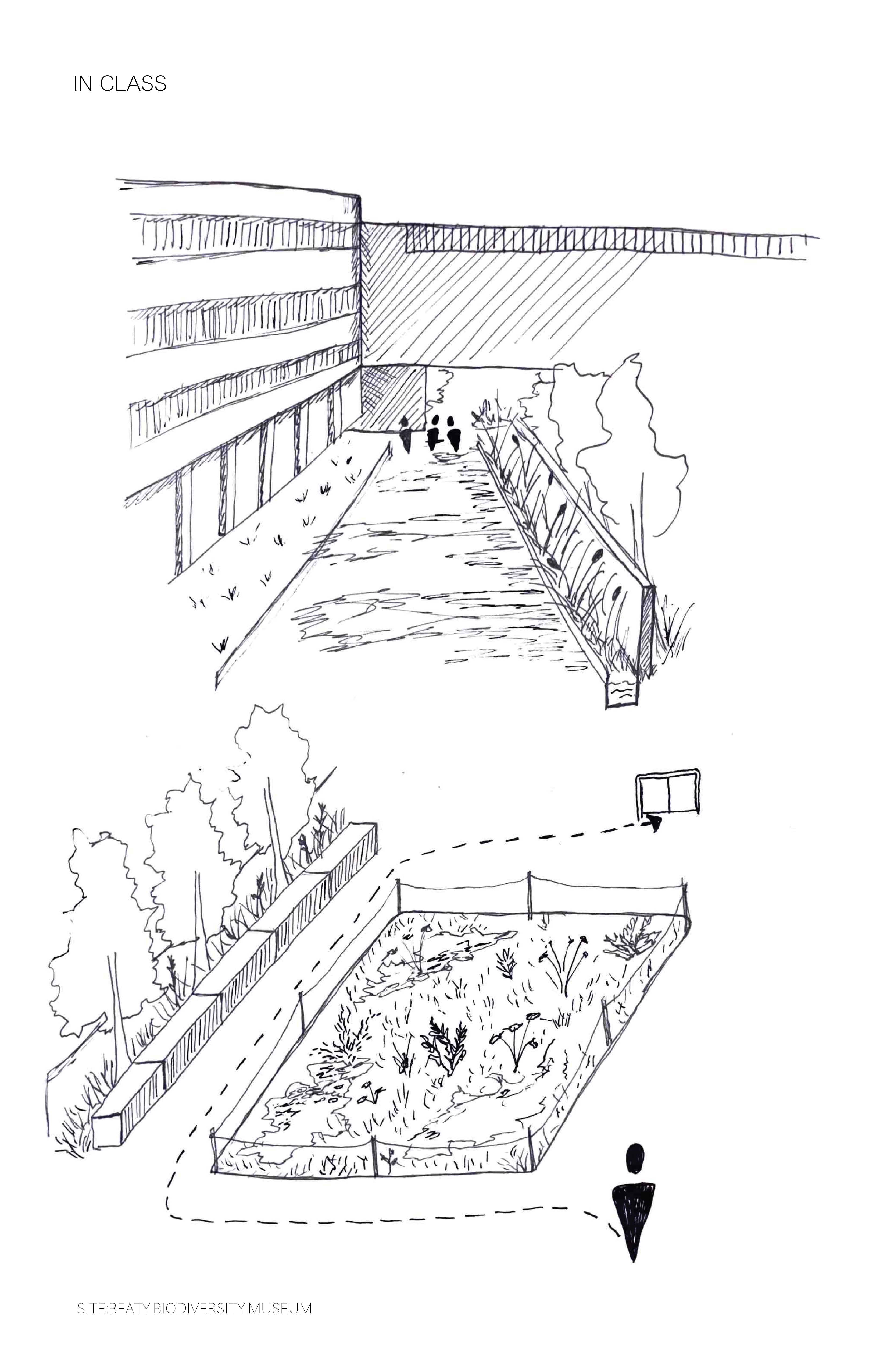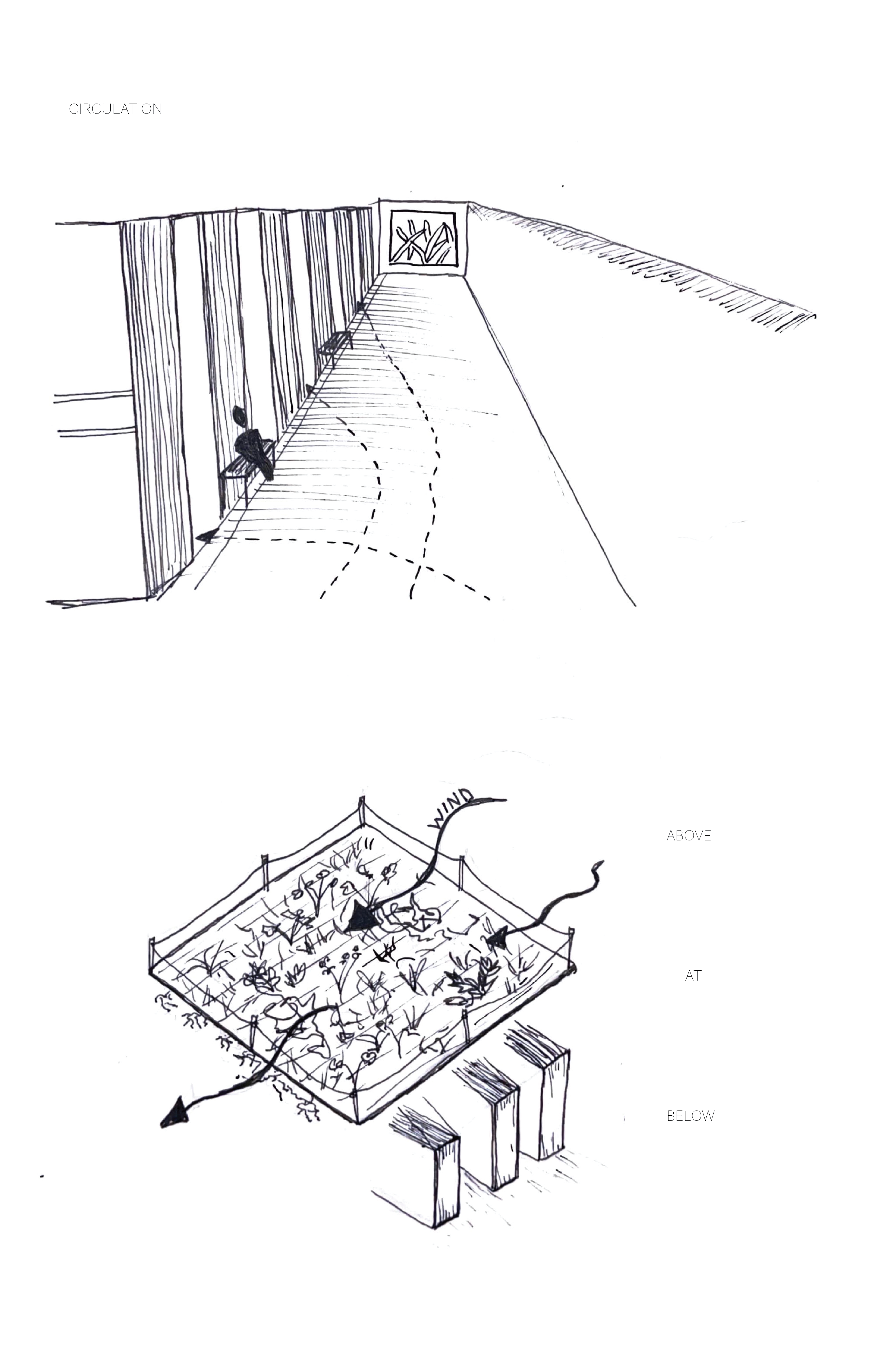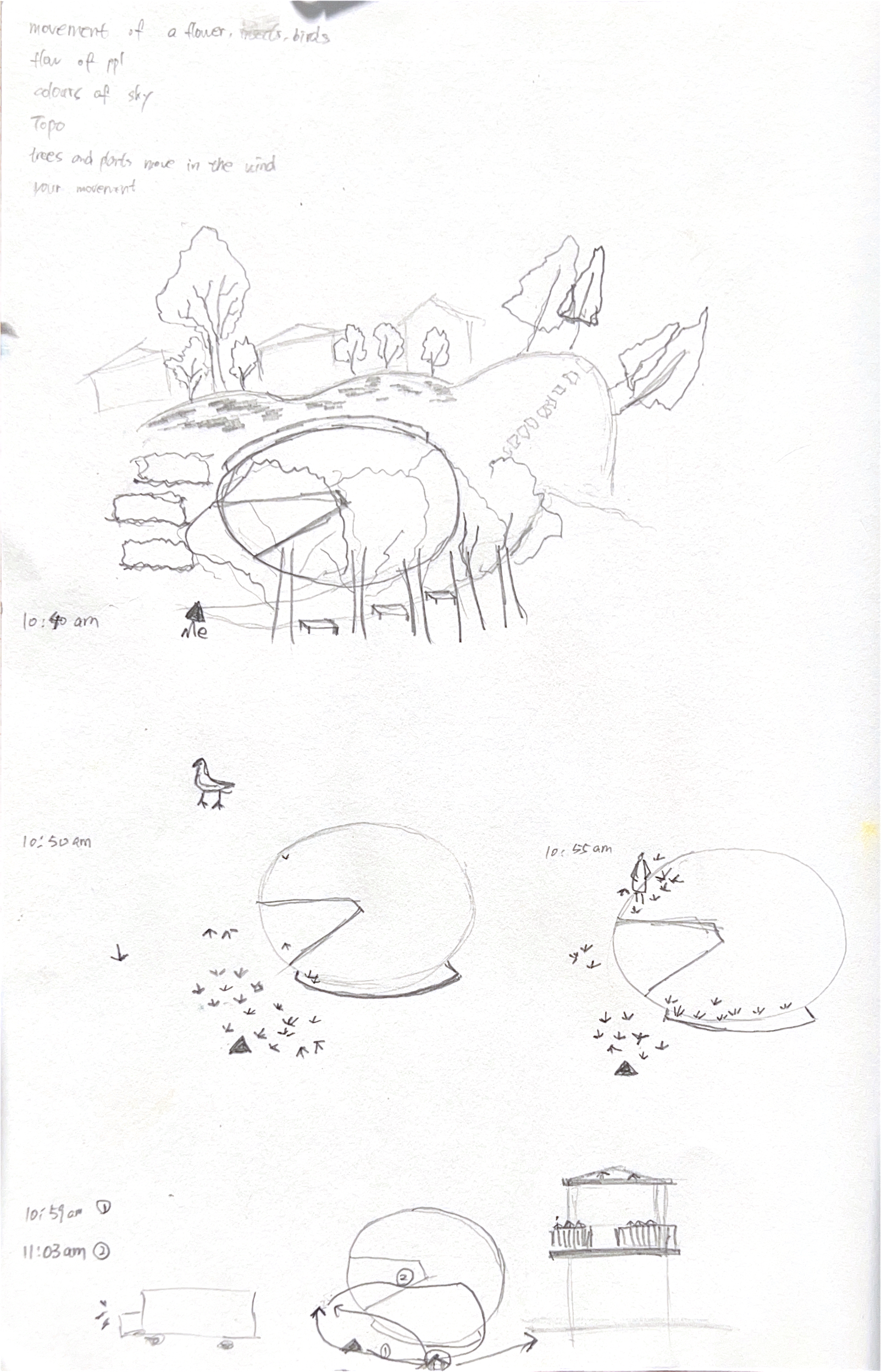
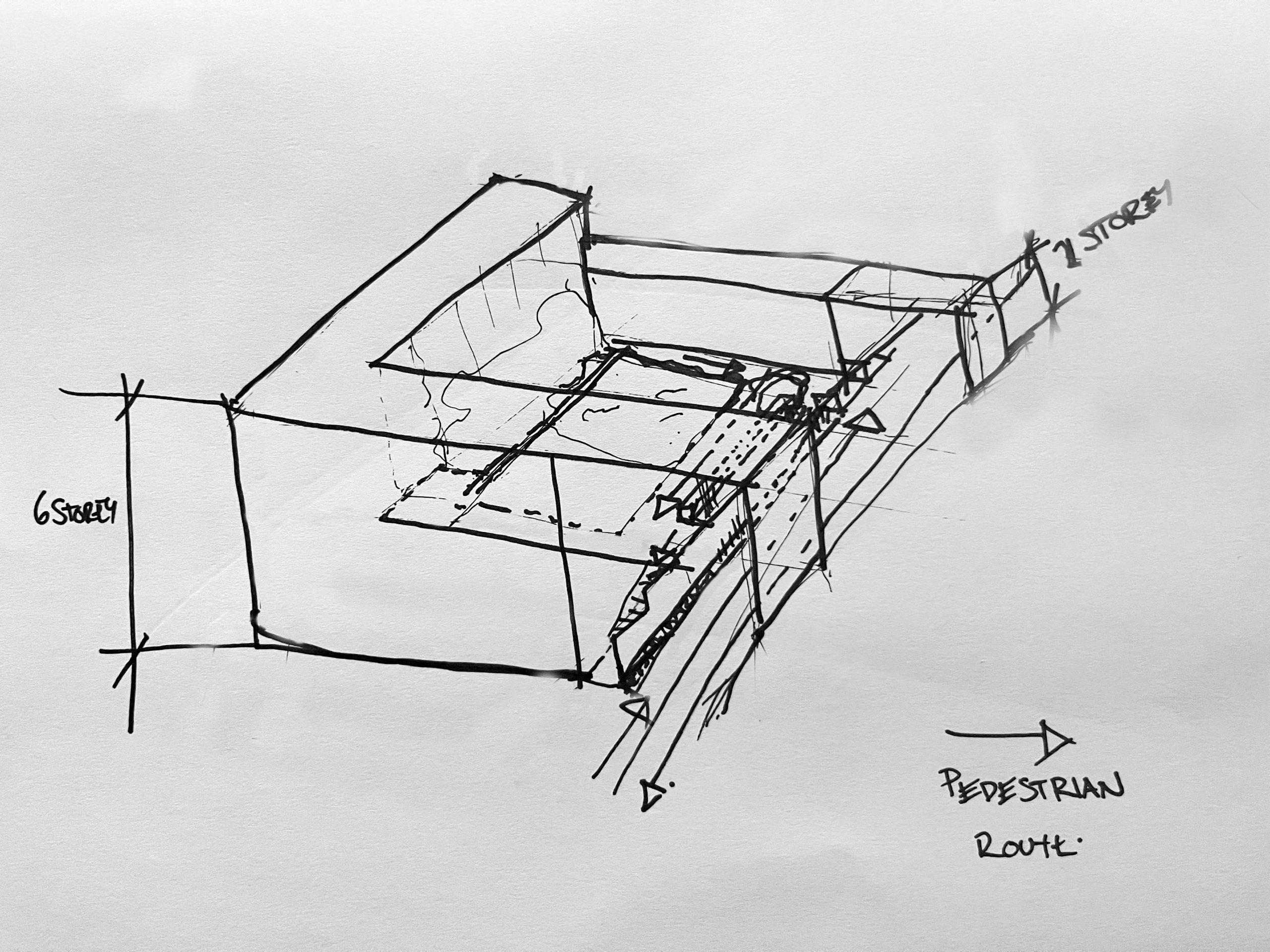
First I mapped the movement of pedestrians, noting that the people climbing the hill on site tended to take the center of the path, and stairs were preferentially used for descent .
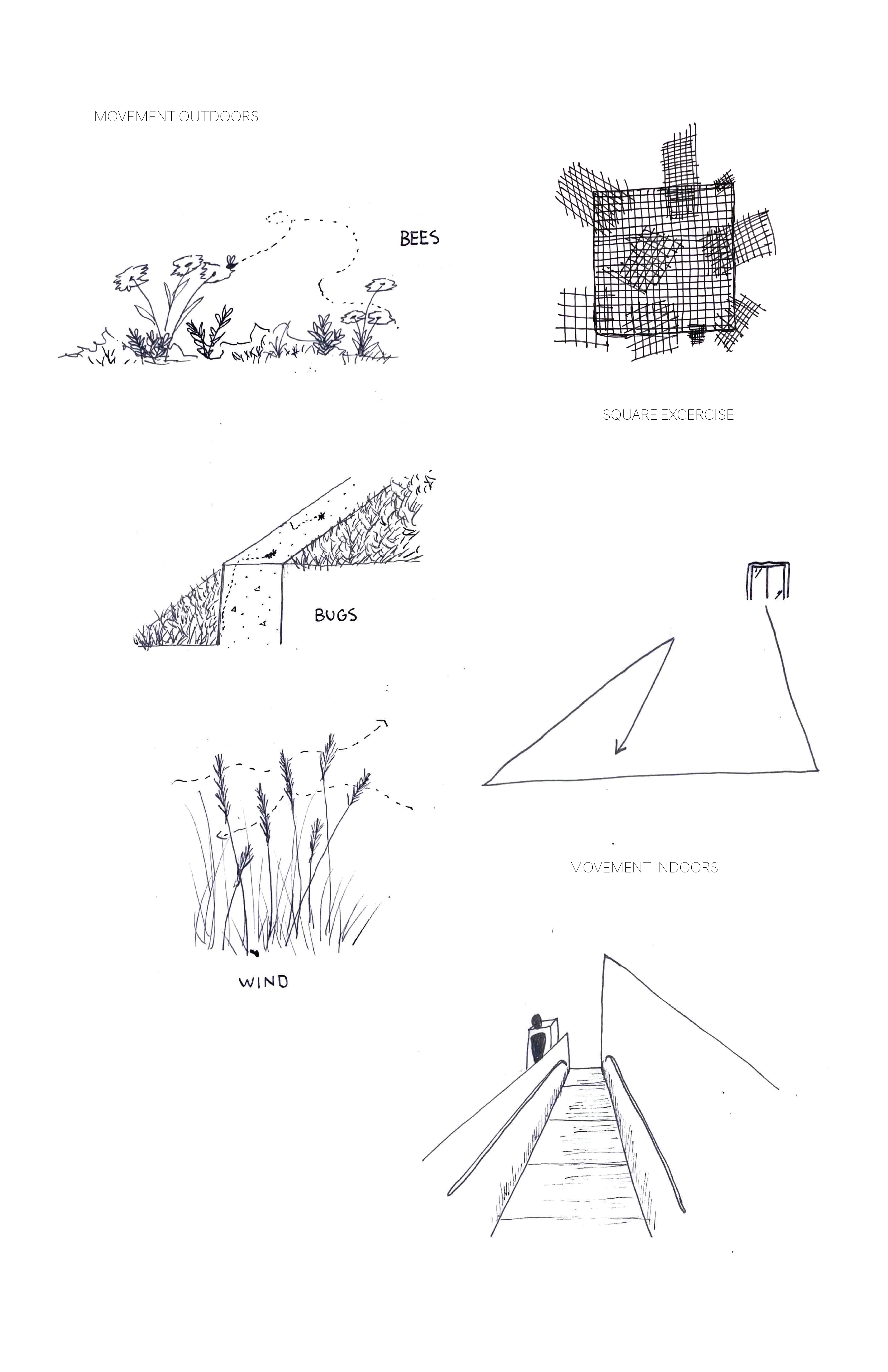
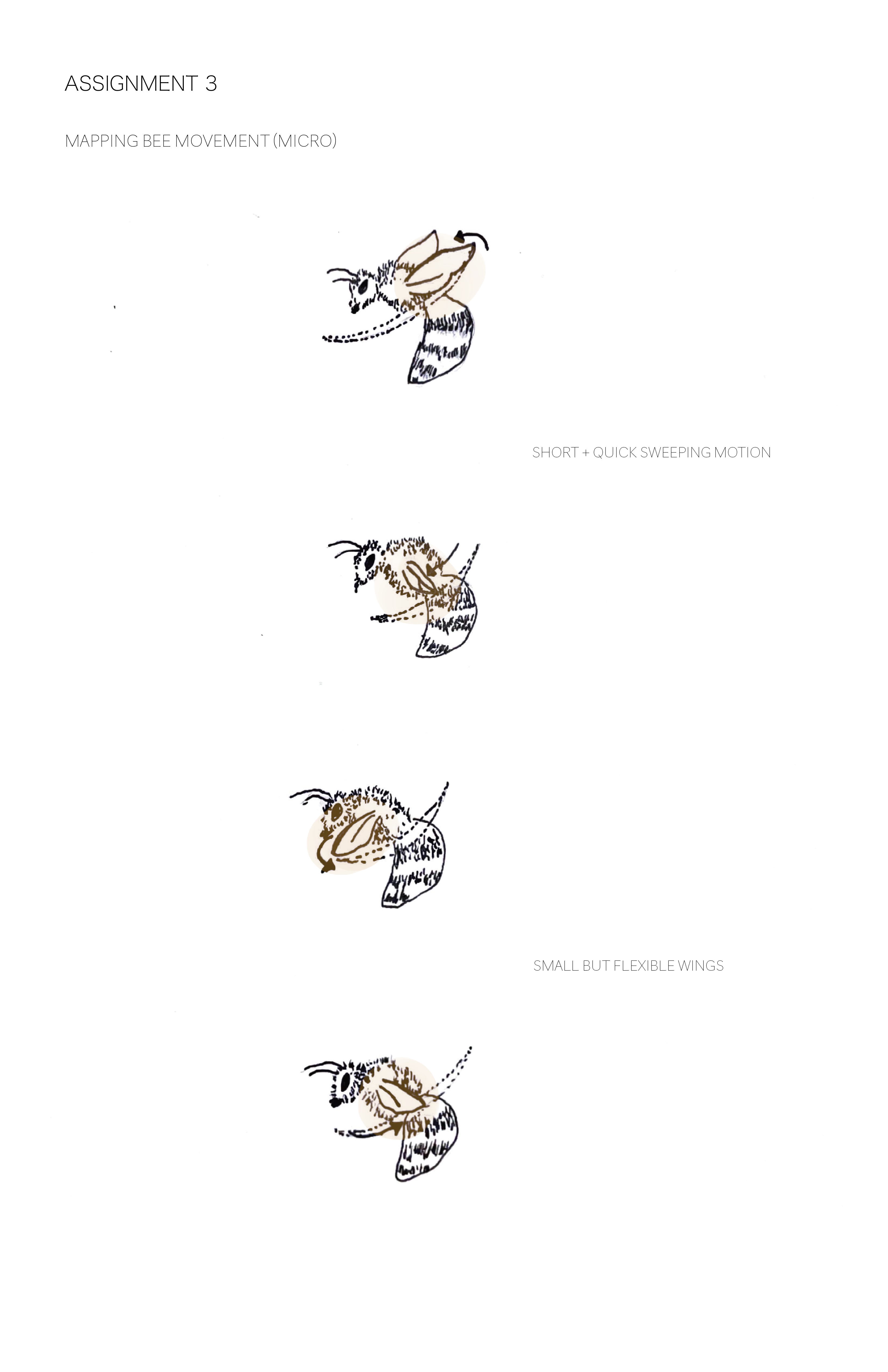
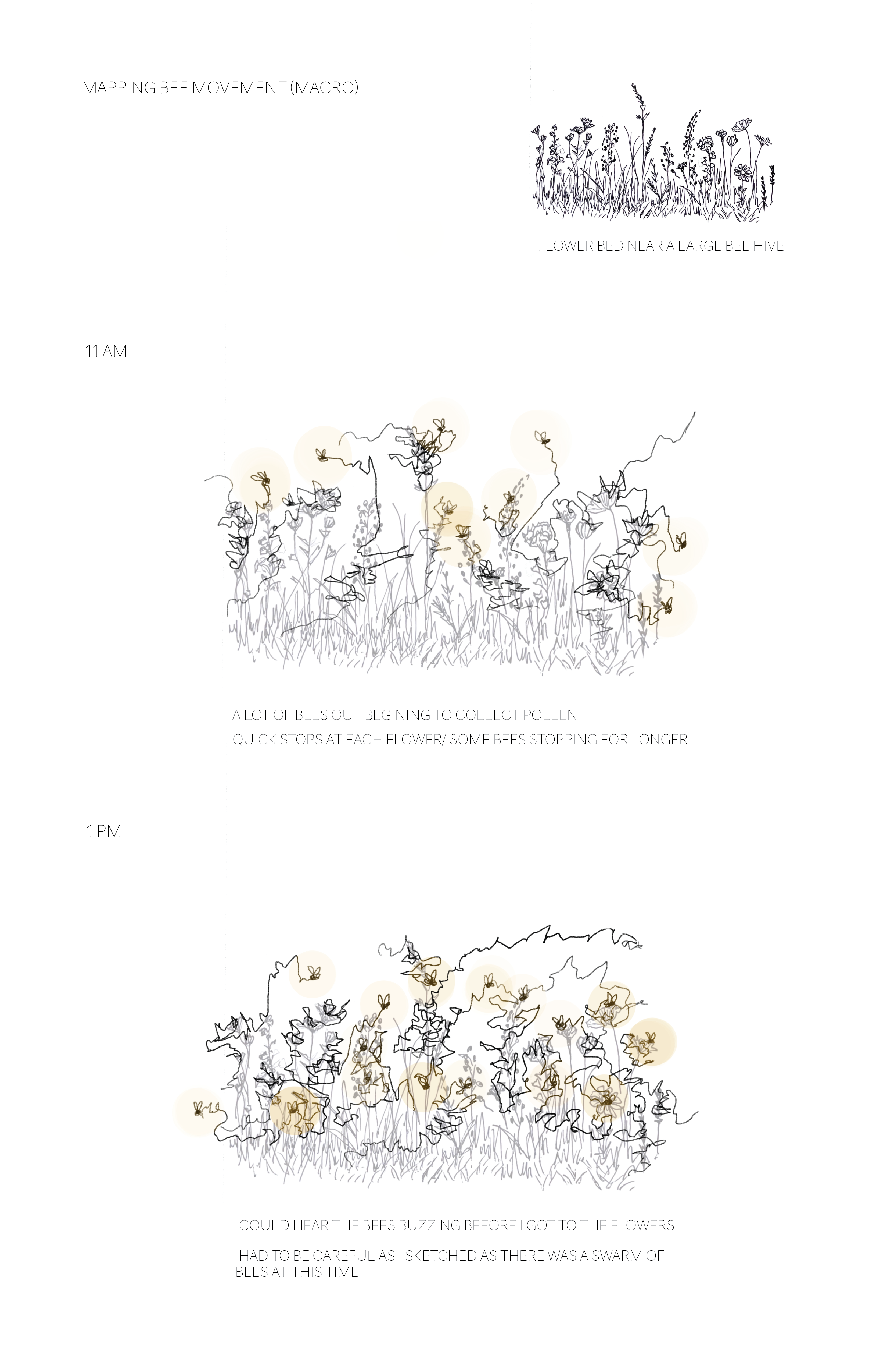
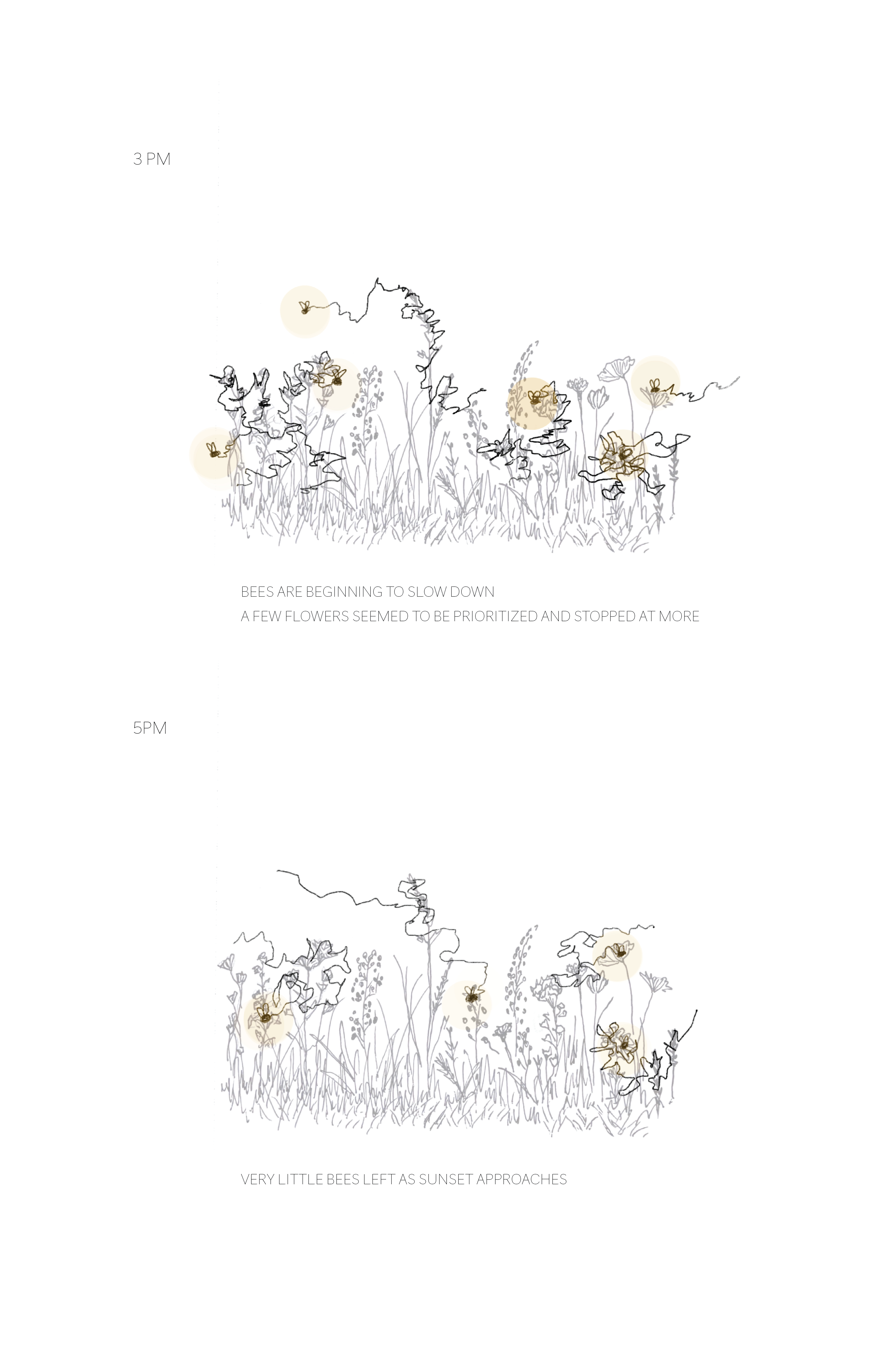
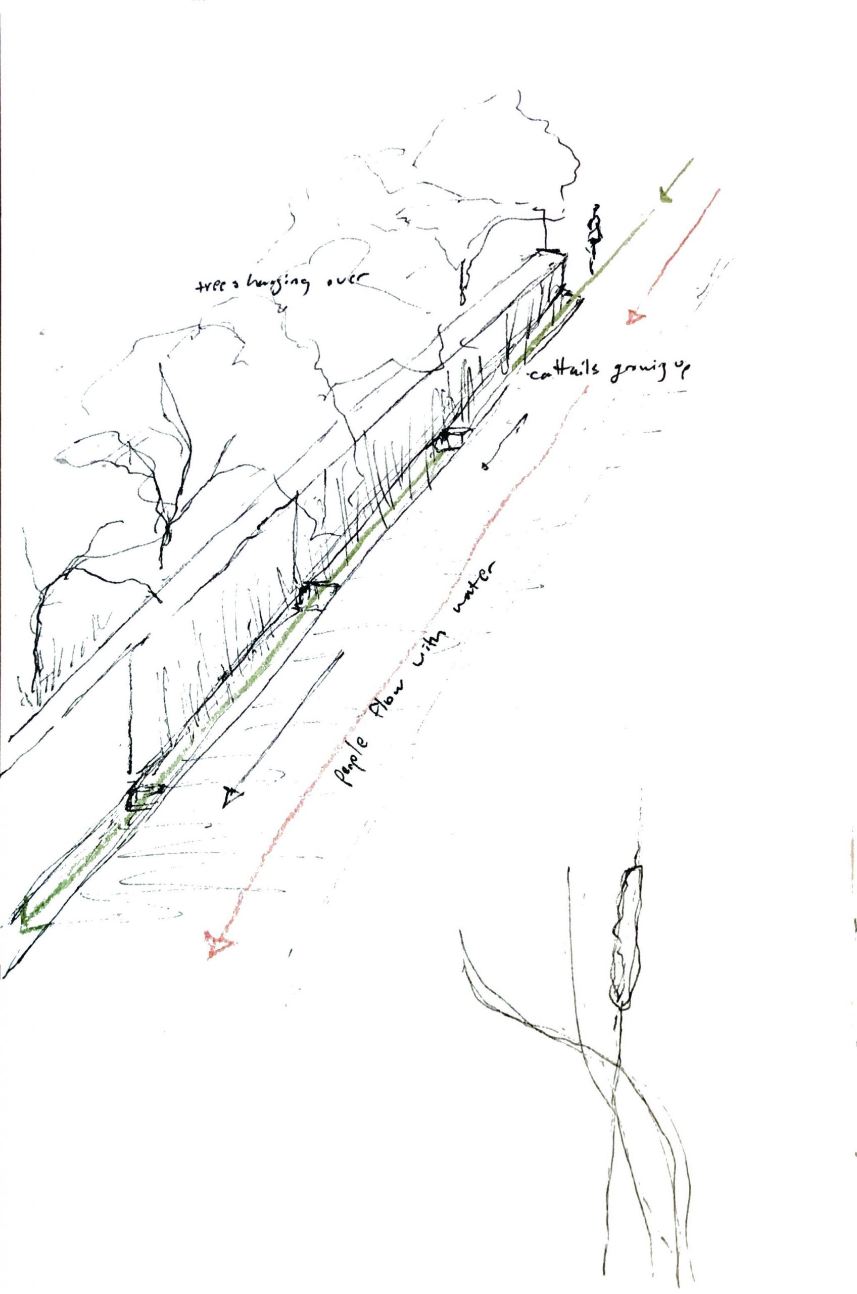
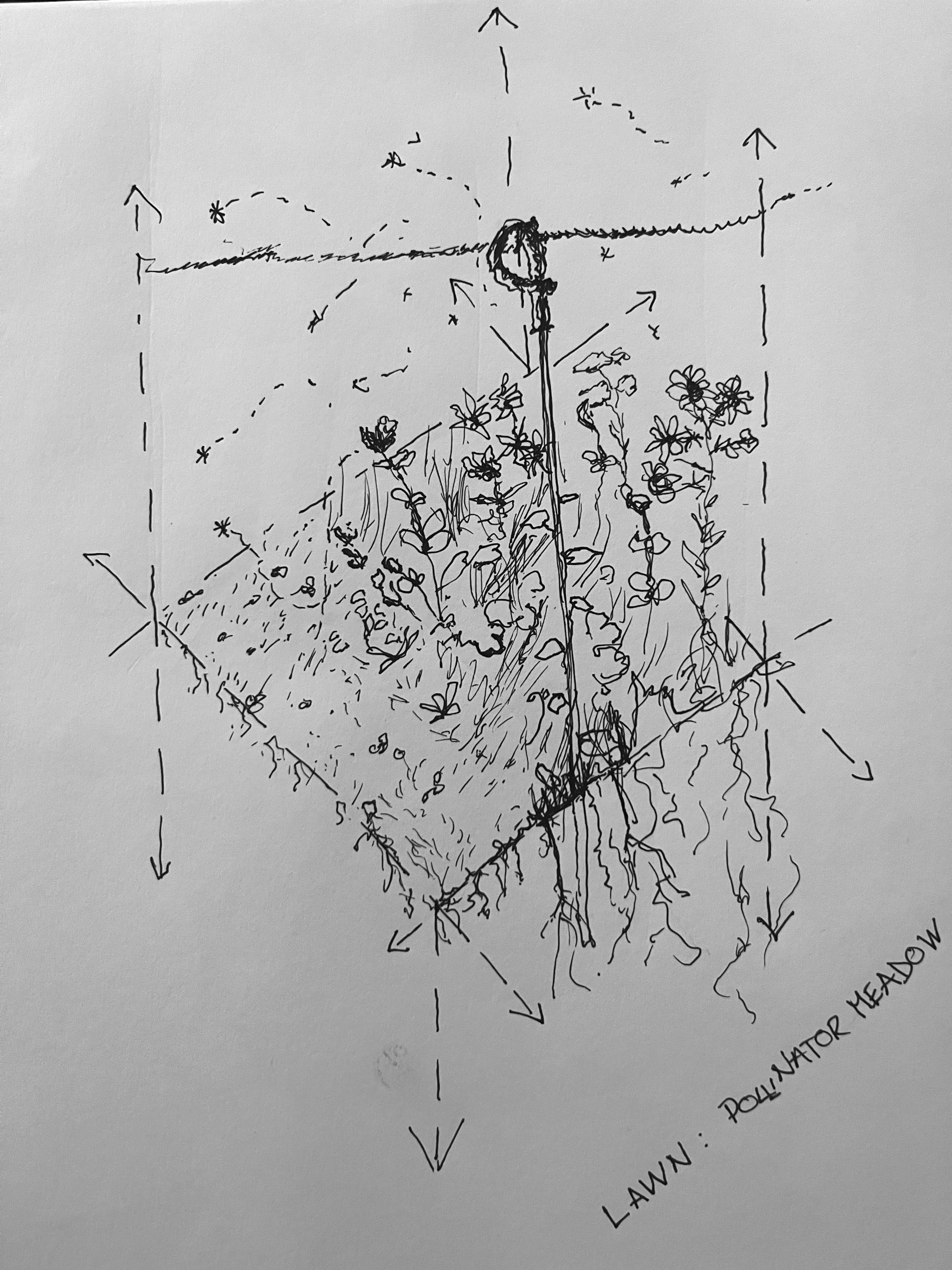
I then wanted to zoom in and map something in an extremely small scale, so I looked at the edge between the lawn and the pollinator meadow.
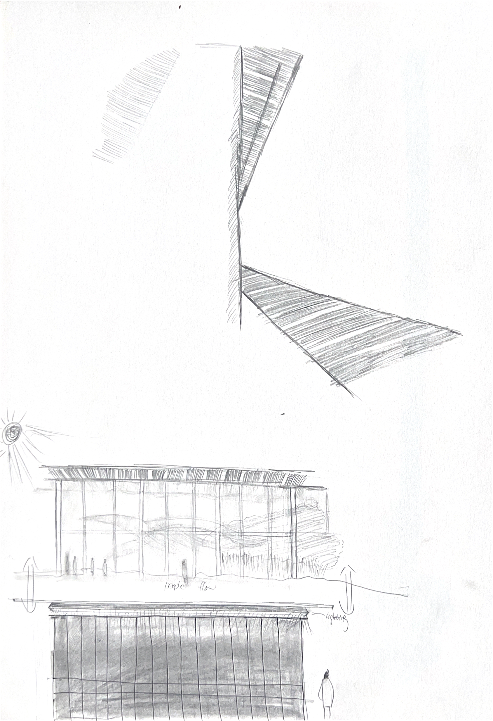
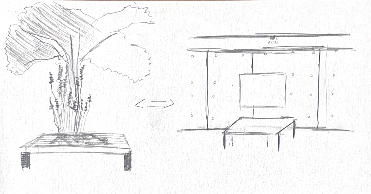
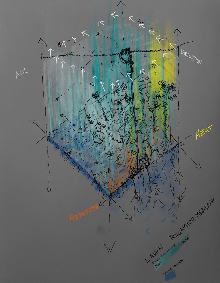
At home I mapped the triadic relationship between airflow, evapotranspiration and reflected heat across the threshold of these two planting schema.
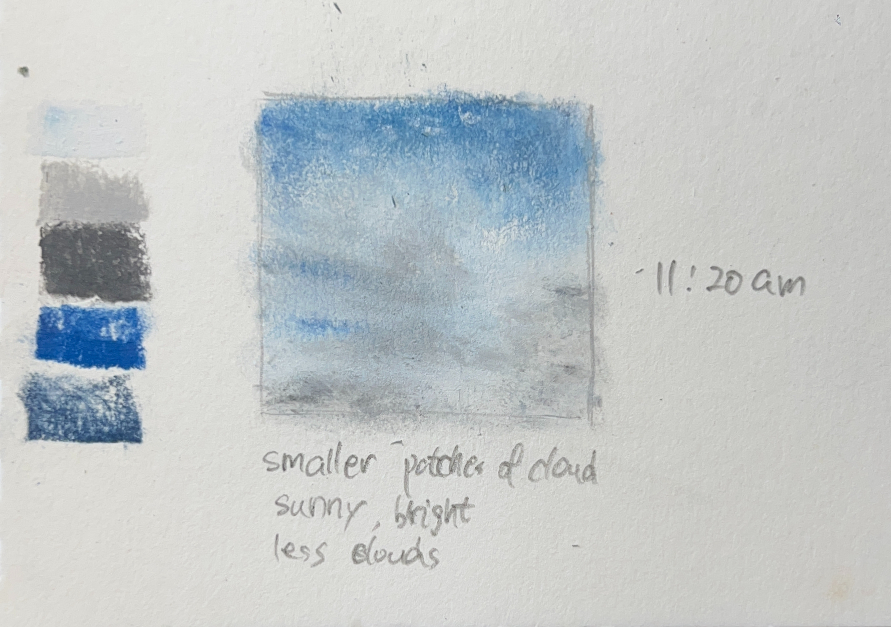
\