CITY OF VANCOUVER, VACANT LAND
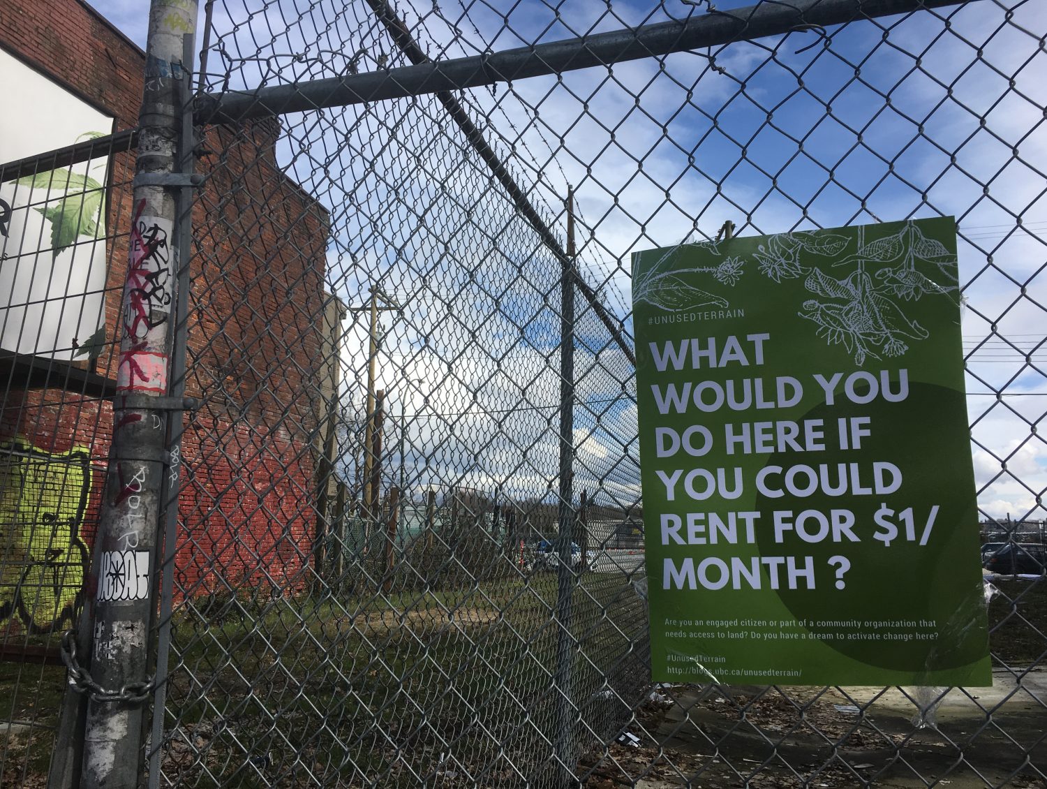
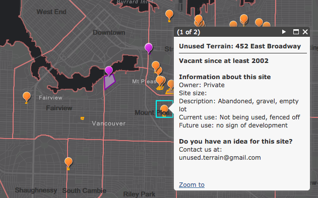
This is the first iteration of our mapping tool. This interactive tool will help us understand how many vacant land sites there are in Vancouver. We will develop an individual site profile for each parcel of vacant land, which will include: who owns the land, how long it has stat vacant for, the history of land, what is zoned for and what could projects could be safely be activated on the site.
MAPPING
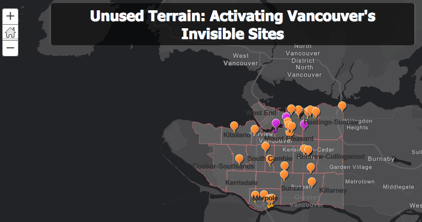
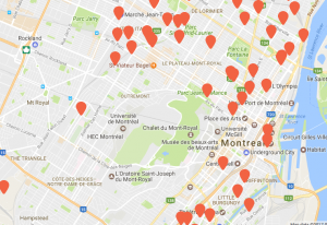
Our tool is inspired from the mapping tools created by Lande in Montreal and 596 Acres in Brooklyn, New York City. Not only are we partnered with Lande and 596 Acres, but we are motivated by the work they have done i![]() dentifying and mapping vacant sites. Unused Terrain’s map will be designed as a unique tool specific to Vancouver.
dentifying and mapping vacant sites. Unused Terrain’s map will be designed as a unique tool specific to Vancouver. 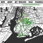
If you are curious to learn more about organizations mapping urban vacant lots around the world- check out a detailed list of resources here.
BUILDING FROM
We are also integrating previous mapping data created by Orphaned Space Project, several iterative mapping projects created out of CityStudio.
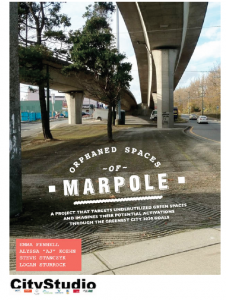
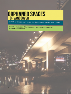
Of the three projects, we have spoken with two of the student teams who worked on Orphaned Spaces in Vancouver. Gathering data from both the reports and personal learning and narratives regarding vacant land in Vancouver. This is been important for gathering secondary research.
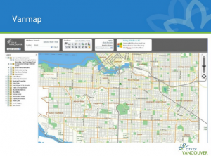
In addition we have used the City of Vancouver’s VanMaps to help us navigate vacant sites in Vancouver.