The geodatabase acquired from BC open data not only categorized population estimates and densities by GBPU, but each row by a unique wildlife management unit. This was the spatial unit I used to calculate road densities and present population data. This associated newly discovered information with a specific WMU, meaning each unit could make informed decisions based upon personalized results and individual needs. This seemed like the most appropriate unit to combat the modifiable aerial unit problem (MAUP).
Select by attribute, where region responsible = Kootenay, created a new file which I use to clip BC road data to the Kootenay region. These were different to the shapefiles found for the Kootenay economic region.
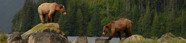
Grizzly Bear Mortality 1976-2017 CSV
Cleaned the data table by manually selecting GBPU’s located within the Kootenays, restricting years from 2015-2017.
Digital Road Atlas
Roads were clipped to the Kootenay boundary, excluding pedestrian trails and ferry routes because those impacts are negligible compared to motorized vehicle roads on Grizzly Bear habitats. Moreover, for the purpose of this study “CPTRDATE” (capture date) was interpreted as date that road was built. Understandably this was not a perfect representation of time of road construction, but due to the frequency of the captured data it was reasonable to assume that capture date would not be far off from real-time construction.
Create Road Density
3 road density files were created for up to 2015, up to 2018, and including all until the most recent capture date. Road density is described as length of road (km) per unit area (km2), which for the purpose of this report were wildlife management units (WMU). “Summarize within” was used to sum up total road length within each WBU in kilometers. A new field was then created and calculated, dividing summarized road length (km) by WMU area excluding water and ice (km2), since neither bear habitat nor roads traverse water bodies or glaciers. The same road density categories used in the “Current Condition Report for Grizzly Bear in the Northeast Region- 2015 Analysis” were applied to this study in order to keep the same standards. Finally, road density change was calculated by subtracting 2015 from 2018 road density in a new field.
Create Core Habitat
Following guidelines from BC’s cumulative effects framework, I categorized core area as greater than 10km2. I created a 500m buffer around all roads up to the most current capture date, and used the erase tool to leave behind habitat beyond 500m from roads. The multipart to single part tool allowed me to isolate multiple habitat fragments associated with a single WMU so I could calculate their individual areas.