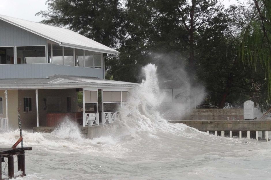
The July 3, 2015 storm (G. Johnson)
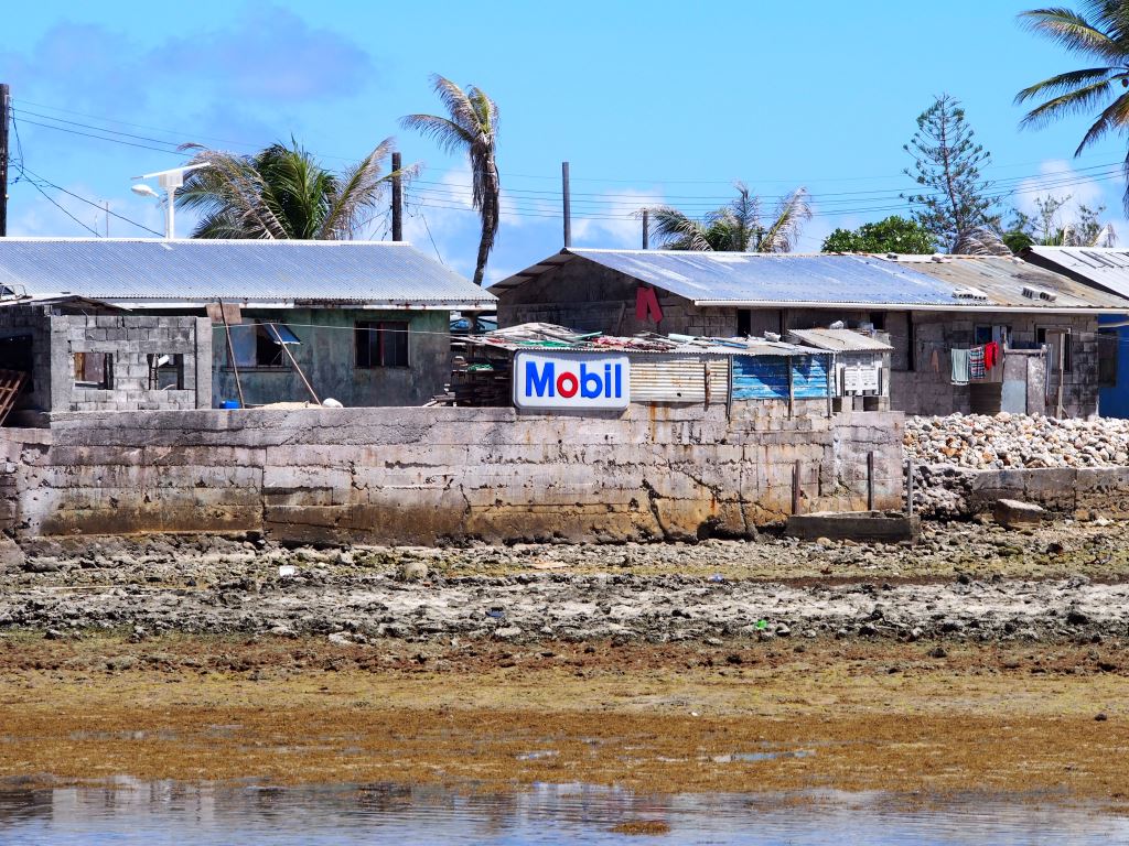
During our visit to Majuro Atoll, construction was ongoing to repair a stretch of relatively urban shoreline devastated by a storm last July.
The waves and the damage from the July 3, 2015 storm were unlike anything local residents could remember. Westerly winds brought waves up to 10 feet high into the normally placid lagoon. Boats sunk, sea walls were torn apart, and houses were damaged, including that of Tony de Brum, the climate envoy who was pivotal in discussion of the 1.5 C temperature target at the UN Climate Summit in Paris.
Did global warming and sea-level rise play a role? Most likely yes.
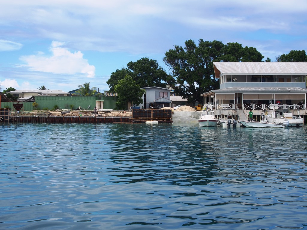
Same coastline in July 2016. Note the ongoing sea wall reconstruction on the left.
The west-facing lagoon shoreline of downtown Majuro, unfortunately known as D-U-D after the islets of Djarrot, Uliga, and Delap, is usually well protected. The trade winds at Majuro’s latitude generally blow from the northeast.
Strong winds from the west are unusual. They only happen during storms (the July 3, 2015 storm eventually grew into Typhoon Nangka), during El Nino development, or most likely, both. Forecasters and climate junkies look for “westerly wind bursts” on Pacific weather charts as signs of impending El Nino conditions. Sadly, those charts neglect to show any of the central Pacific Islands where people are directly affected by the winds.
The waves and the damage were certainly related to the El Nino development. However, ocean warming and rising seas also played a key role. The region experienced record ocean temperatures last year, which influences storm development, as well as the timing and scale of El Nino development. Sea-level rise means the peak wave height from any event – whether a storm or astronomical high tide – is higher today than from the same event in decades or centuries past. Put it all together and you get different weather events with and without global warming.
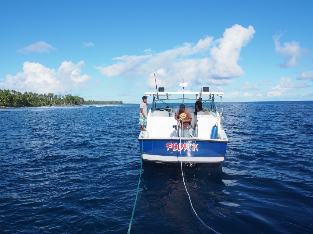
Preparing for the tow home
This is how people experience sea-level rise. Not through a gradual year-by-year loss of land, as you see by so many fancy visualizations, but through the noisy filter of the weather. Higher peak wave height during storms, water and sand being deposited further inland, and more frequent nuisance high tides, all contribute to reshaping the shoreline and intermittent damage to infrastructure.
The damage depends on how people choose to manage the shoreline. We watched a lot of shoreline during our dive work in Majuro and Arno. In order to survey the different reef environments around Majuro, our boat covered almost the entirety of the atoll’s shore. One day (…which bled into night!) we even trolled the populated south coast in a convoy, thanks to Ben Reimer and the Four X kindly driving two hours to give our broken boat another two-hour tow home.
Sea wall on Majuro’s ocean shore: yes, the sign is real
We saw many natural stretches of shoreline, but also a lot of questionable sea walls, cleared coastal vegetation, and dredging of material from the reef, all of which could reduce resilience to rising seas. Most striking to me was a few new and very modern western homes built perilously close to the water, counter to the traditional practice of building further inland for protection during storms.
I understand the temptation of living close to the sea, and definitely its cooling breezes. Unfortunately, it is a luxury the people of Majuro, and other low-lying atolls, may not be able to afford in a changing climate.