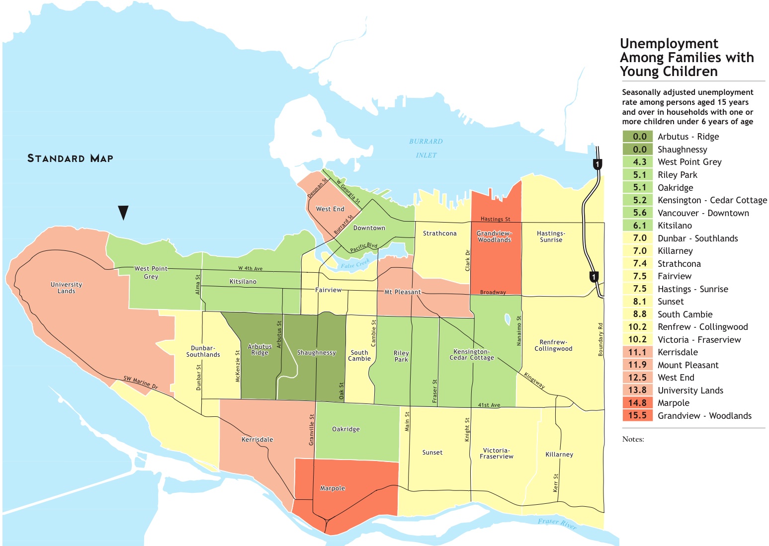
 The socio-economic data for Vancouver, complied by Human Early Learning Partnership at UBC, shows some pretty striking things about the nature of the areas around Dunbar and UBC. The maps are worth reading just to see how starkly particular areas stand out as different then the rest of the city in terms of median and average household income, percentage of households living at or near the poverty line, stability in housing, multi-generational occupation of same house or neighbourhod, language spoken in the home, ethnicity, and a variety of other socio-economic indicators. It really is a situation were the pictures speak for themselves. Have a look at the full report on the early learning web page.
See, also,previous posts on comparative demographic data and UBC/UEl population data.