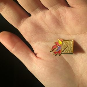
 I still can’t believe I went to such an interesting event. Encouraged by my ENDS 220 professor Neal, I used the promotion code “SALA” and bought the tickets to watch the debate in Dodoc, downtown. This debate is far from conventional ones of architectural design, which a panel of similar designers with similar views taking it in turns to talk at length about their similar projects: this is too light, dull, polite! This turncoats event is genuinely a shot in the arm: framed by theatrically provocative opening gambits about city planning is all about horse shit, which is true considering the birth of this disciplinary, a series of debates tackle fundamental issues with a playful and combative format designed to foment open and critical discussion, turning conventional consensus on its head.
The topic of this debate is whether city planners are the most important in terms of Vancouver’s development, or architects are the only ones that matter. Leslie Van Duzer and Bruce Carscadden, as architects, debated for architects in the first few turns and closed for planners’ side. Neal Lamontagne and Mitchell Reardon, similarly, advocated for planners at first and closed for architects. Leslie and Bruce’s elegant and powerful statement about architects are much alike conductors of an orchestra and they have the capabilities to meditate on the environment and structures while planners’ know nothing but constrained zoning codes. On the other hand, Neal and Mitchell focused on being generalists is superficial and useless: since planners might do not have such comprehensive knowledge of various fields, they appreciated active collaboration with architects, the community, geographers, historians, engineers, etc. At the end of this debate, both parties changed their seats and spoke for the other side.
One of the most interesting parts of this debate is the audiences’ participation of stating their point of view about this topic. I was deeply impressed by all people’s enthusiastic and potent statements.
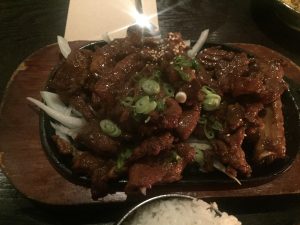
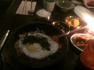
Ultimately, I personally inclined to the city planners’ side for their more convincing voices in this debate, and most of the audience affirmed their winning. I went to Sura for Dolsot Bibimbap and barbecued pork after this feast. What a wonderful night! 🙂

 I still can’t believe I went to such an interesting event. Encouraged by my ENDS 220 professor Neal, I used the promotion code “SALA” and bought the tickets to watch the debate in Dodoc, downtown. This debate is far from conventional ones of architectural design, which a panel of similar designers with similar views taking it in turns to talk at length about their similar projects: this is too light, dull, polite! This turncoats event is genuinely a shot in the arm: framed by theatrically provocative opening gambits about city planning is all about horse shit, which is true considering the birth of this disciplinary, a series of debates tackle fundamental issues with a playful and combative format designed to foment open and critical discussion, turning conventional consensus on its head.
