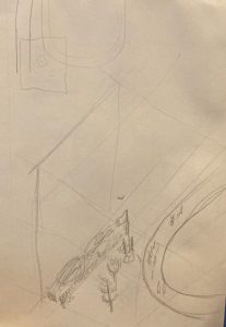
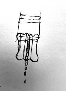
I got inspired to map an anthill from watching the movie A Bugs Life with my roommates this weekend. Luckily I live across the street from a park so it wasn’t hard to find a good bunch of ants to study from. Starting with a plan view didn’t feel appropriate for this cube because the real challenge was going to be the multidimensionality of the imagined tunnels of the anthill. Getting the heights of the tunnels moving around in space was the biggest challenge overall but I’m pleased enough with how it turned out.


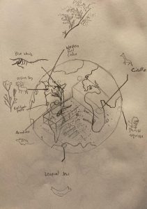
I also took the chance to draw the beaty museum. Mapping the space was fun enough, but I became interested in the geographic diversity of the samples in the museum. The map of the earth overlaid on the museum was drawn completley freehand from memory and you can see how detailed my world geography is on the west coast of North America, and how far it devolves into the very simplistic shapes representing Africa and India.
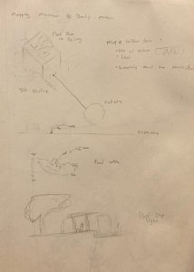
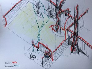
These in Class Exercises represent an attempt to map movement and temporality. I was also sketching an idea for the Beaty Museum drawing, in class but by the time I got there I wasnt so intrested in that part of the idea anymore.