Swales
Introduction
At their simplest, swales are a crease in the landscape designed to divert surface stormwater run-off.
Swales are usually conceived of as a channel with a specific width, depth, side-slope, and gradient used to introduce flow through the channel. Recognizing the basic contour signature of a swale (particularly as opposed to a ridgeline) will make it easier to identify existing swales in a topographic survey as well as to more quickly integrate them into a grading plan.
with constant longitudinal gradient and varying depth / height
varying longitudinal gradient
Terraces & Buildings
Terraces and buildings often need diversion devices to move stormwater run-off around them. Swale placement and grading is often similar for both terraced areas (such as for a sports field) and for a building. Both terraces (planar areas with minimal slopes) and buildings (level building pads) will often require a swale to divert run-off around them.
A swale starting point -- the "High Point of Swale" (HPS) -- spot elevation is located on the uphill side of the terrace or building. The swale is then routed around the area it is meant to protect with an end point that will release water further down-slope or, ideally, into a retention area. The swale route is assigned a slope along its center-line to insure run-off moves around and away from the area it is protecting.
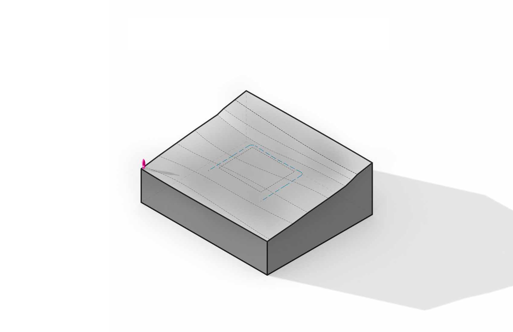
 Swales (shown in blue) are routed from a high point (HPS) on the uphill side of a terrace (shown as a rectangle) and wrap around the terrace
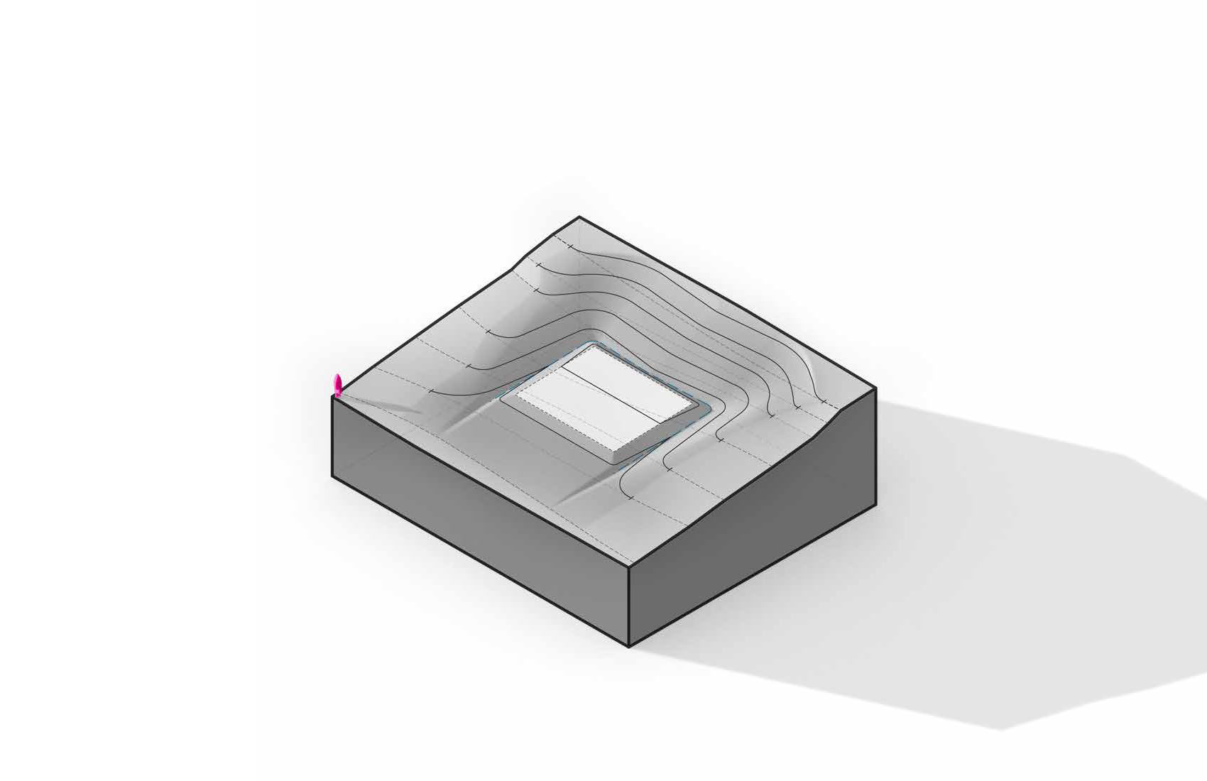
 When incorporated, swales create a 'crease' around the terrace or planar area which catches and diverts stormwater run-off
