Basic Landforms
Recognizing Basic Landform
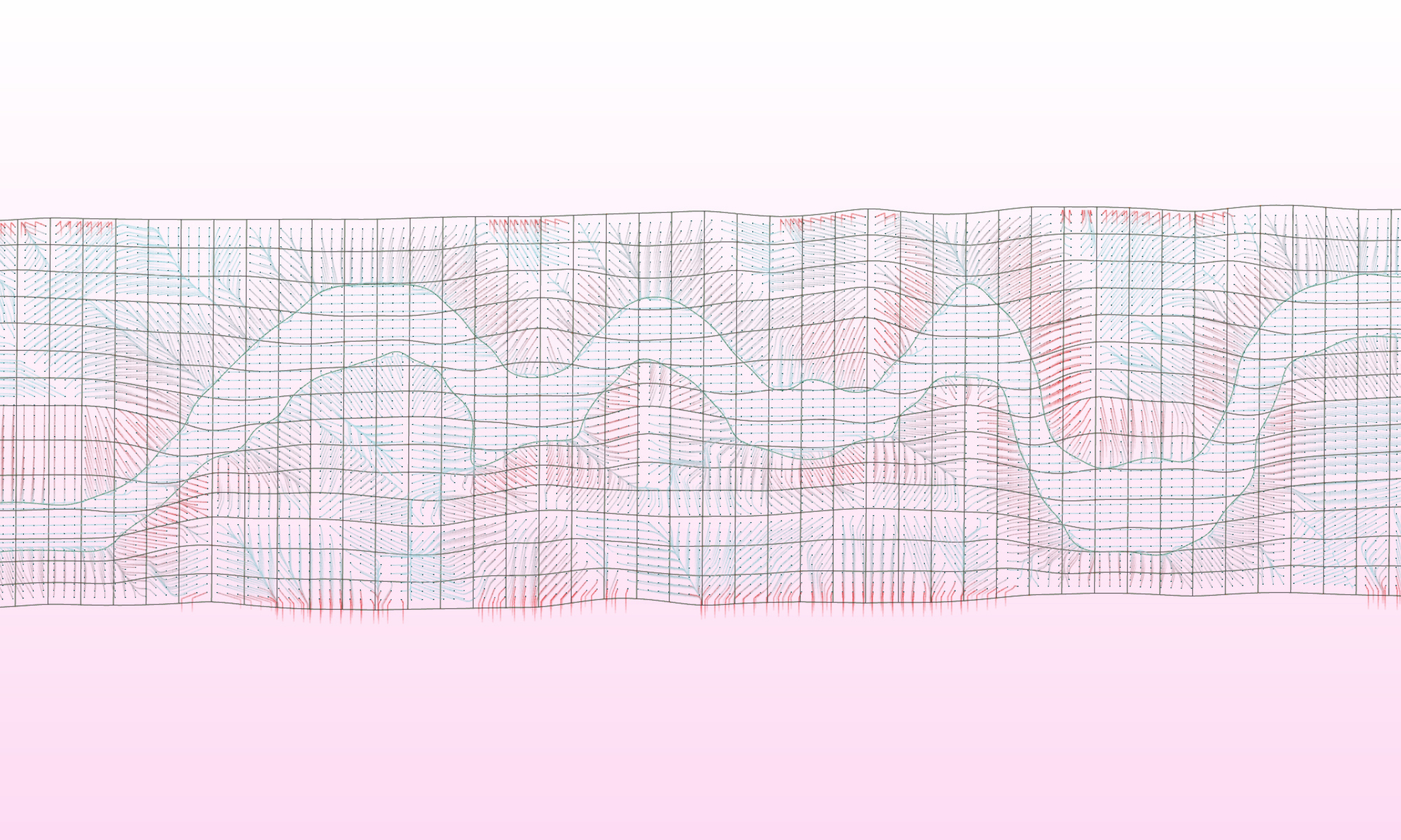
Topographic plans can be read for their "contour signatures" that describe distinct landforms. The animation below shows four common contour signatures that provide an understanding of the basic topographic relationships within a site.
To recognize contour signatures, first identify which way is 'up' (contour labels always go on the uphill side of a contour line and key spot elevations will give you clues). Where contour lines form closed shapes around a high point ("HP") they are indicating plateaus or hill-tops. Where contour lines form closed shapes around a low point ("LP"), they are indicating depressions. Where contour lines pinch together to form "U" or "V" shapes, they indicate ridgelines if the uphill side is inside of the pinched shape; otherwise, they indicate valleys if the uphill side is outside of the pinched shape.
Contours in Section
Contours can be easily translated to sections:
When working with two-dimensional contour lines, you should always be thinking simultaneously in section. The process to construct a technical section is described below. Regardless of whether or not you will actually draw a section, the process of translating contours into sectional relationships should become intuitive when working with contours.
To construct a section, a vertical plane is sliced through contours and objects (like buildings); the intersection between the plane and the contours & objects that cross the plane describe the vertical relationships within the topography as well as the objects within it.
sections are quick graphic techniques to visualize topography; they are easy to cut from contours: (Adapted from Strom, 2013)
Instructions: (Strom, 2013)
1. Indicate the cutting plane.
2. Draw guide lines parallel to the cutting plane -- one for each contour; space the lines according to a vertical / section scale with some relation to the horizontal / plan scale (here the vertical scale is shown as 2x the horizontal scale).
3a. Find the intersections between the contour lines and the cutting plane; draw perpendicular lines from these intersections down to the corresponding parallel guide lines.
3b. Draw perpendicular lines from all spot elevations that intersect the cutting plane down to the corresponding elevation on your section.
4. Connect the points to complete the section and delineate the ground line.
Sections through contours represent distinct slope forms:
As you gain an intuitive sense of the sections being described by contours, you will begin to recognize unique topographic forms that influence the way people, water, and vegetation move across and occupy a site. Three basic vertical relationships (sectional relationships) are described below.
Uniform slopes are the ones in which the contour lines are evenly spaced. Concave and convex slopes have dissipating or aggregating contour lines; they can be used to accentuate experiences of enclosure or openness or to introduce a foreshortening or accentuating affect for those moving through the landscape.
See the "Slope" page under "Fundamentals" for more information on how to describe slopes.