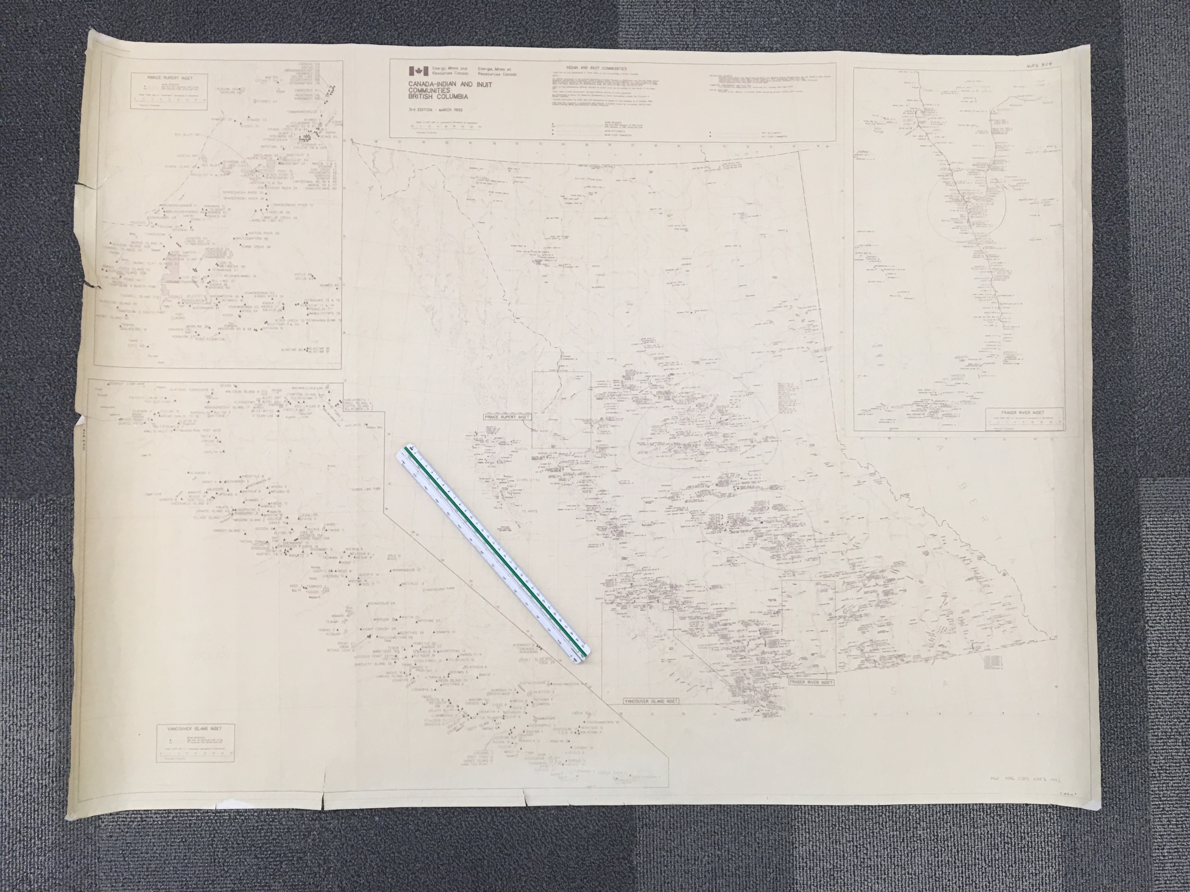
SCALE 1:2,000,000
3rd EDITION MARCH 1992
PRODUCED BY ENERGY, MINES AND RESOURCES CANADA
The text located at the top of the map (to the right of the main title) reads:
INDIAN AND INUIT COMMUNITIES
There are no Inuit Settlements or Other Indian or Inuit Communities in British Columbia.
Note:
No definite statement of the precise legal status of Indian Reserve or Settlement land can be made without extensive enumeration of particular cases. In general terms, an Indian Reserve is a tract of land the legal title to which is vested in Her Majesty, and which has been set apart for the use and benefit of an Indian Band. The Indian Reserves are administered under the terms of the Indian Act, R.S.C. 1970.
Indian or Inuit Settlements, although situated on Crown Land, are not subject to the terms of the Indian Act.
Other Indian or Inuit Communities represent distinct centres of native population.
No information is shown for Reserves, Settlements or Other Communities outside the Province of British Columbia.
Location information for Indian and Inuit Communities is based on data available as of October, 1990.
This map was prepared in consultation with officials of Canada Centre for Surveying, Legal Surveys Division, Energy, Mines and Resources Canada, Vancouver.
INFORMATION SOURCES:
Canada, Energy, Mines and Resources, Surveying and Mapping Branch, National Atlas Map No. NADM-5, 1984, Ottawa. Legal Surveys Division, Index Map of Indian Reserve in B.C., Unpublished, 1990, Vancouver. Legal Surveys Division, Indian Reserve and Band Name Computer Database for B.C., 1990, Vancouver. Canada Gazetteer Atlas, Macmillan of Canada, 1980
COMPUTER CARTOGRAPHY AND PLOTTING:
G.M. Johnson and Associates Ltd., Vancouver, B.C., Canada (604) 682-7074
DIGITAL BASE MAP:
Province of B.C., Ministry of Forests, Timber Harvesting Branch, Victoria, B.C., Canada.