
rip.mix.feed – google maps
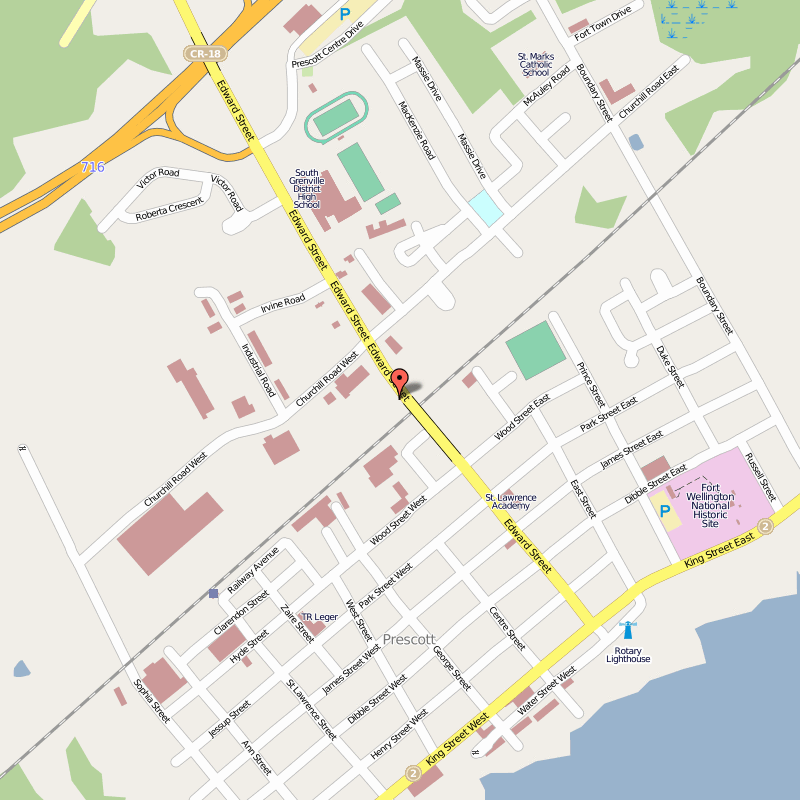
A colleague and I are planning to use the local town as the context for Canadian history and geography, so I want to develop a collection of resources for this project. Google Maps seems a natural place to do this, since videos, photos and other resources can be linked to their location on a map. There are some restrictions to items that can be linked in this fashion, for example flickr photos, even creative commons licensed ones, can’t be directly linked.
I’ll continue to add to this over the next week, but the link to the map is Prescott on the Map
Thank you for showing how google maps can be built upon. I had no idea you could attach videos and photos to locations (which makes so much sense). Great for a history class or an architecture class in high school or post-secondary.
Cool topic Janice!
I didn’t ever think about the possibilities of Google Maps except for GMaps Pedometer for running routes! As you pointed out, this widely accessible resource can be used for a myriad of things like you are doing to wedding proposals and internet memes! There seems to be a lot of potentially great uses for it!
http://www.dailydot.com/lifestyle/biker-uses-strava-gps-app-map-proposal/
Thanks for bring it up!
:: Matt
WOW! This is awesome. Like my colleagues, I had no clue that you could utilize Google Maps in this way. I am forever opening/closing and navigating through browsers on my Smart Board – linking information… This seems like a much more clear, simple and concise way to do things when working with Geography topics. Thank you for sharing!
good work !