Accomplishment: I used the “Select by Attribute” tool to write a condition that selected specific features from a layer, that being only cities named Vancouver and Halifax, to measure the distance between them.
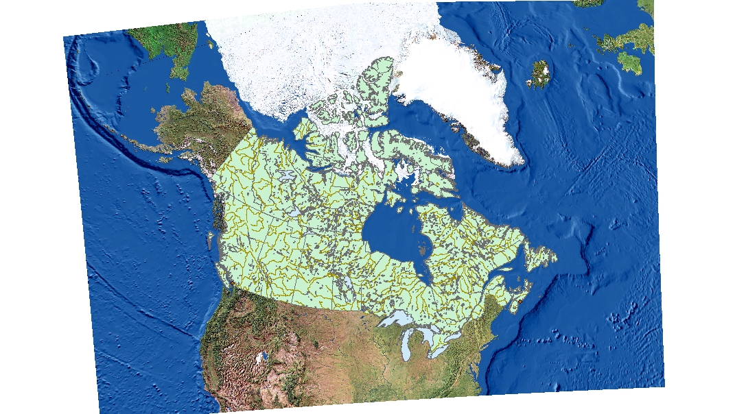
Projecting properties in ArcGIS may be severely affected by improperly referenced of misaligned spatial data. Depending on which coordinate system you use, the data points can be altered. Distance, scale, direction, the purpose of the map, and area are all factors that can be affected. The solution? The ArcToolbox Project and Transformation features found on ArcGIS can be used to change the coordinate system of the layers to match the map coordinate points, to project all layers in the same system, in order to get the most accurate results. Due to the phenomena known as the mixed pixel issue, there could be multiple features which aren’t represented in one pixel, because it can only represent one feature at a time, so when zoomed in, fragments that are smaller than the pixel size, like the pavements and grass along the edges of the road, may not be accurately represented by each pixel on the road.
Remotely sensed Landsat data enables geographers to examine changes in land use over long periods of time, whether due to human impacts (for example, urban development) or due to natural impact (for example, destruction of development or trees due to wildfires or deforestation). Because the satellite imagery is continual over a 16-day cycle, the information acquired is extremely useful for federal/provincial governments and organizations. This data typically cannot be observed by the naked human eye, making this digital technology crucial.
When performing spatial analysis, it is a good practice to change the projection for the layer into a common spatial reference system.