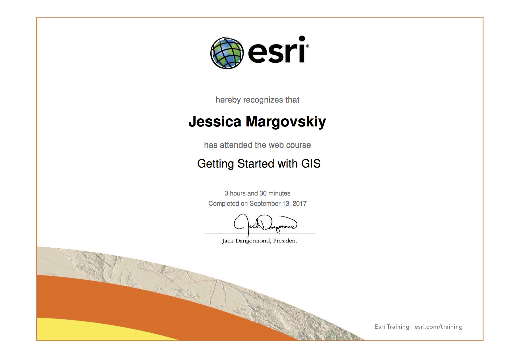
Accomplishment: I completed an ArcGIS tutorial on the basics of GIS programming, which gave me a basic understanding of how it works and in which ways it can be used (for example, where raster versus vector data is most effective for the visualization of data), allowing me to apply my knowledge to real map-making scenarios as seen in upcoming labs.

In this lab, in addition to being introduced to the basic usage of the GIS software through an online tutorial from ESRI, I explored GIS applications on the internet, with great examples found on https://www.gislounge.com/