When data is projected into a different coordinate system, distances (length), areas (size), angles (shapes of objects) and direction (rhumb lines) can be deformed. In order to fix misaligned and improperly referenced spatial data, first review the properties of all the files in ArcCatalog. Determine if any of the layers are missing a coordinate system or are projected in the wrong one. Then fix all the problematic layers by displaying them in the common/recommended projection for the area of study. To do that go to ArcCatalog -> Catalog Tree -> Description or ArcMap -> Layer Properties -> check General and Coordinate System. Before adding the layers to ArcMap it is important to make sure all of them are displayed properly. You can do this by previewing them in ArcCatalog beforehand or changing projection in ArcMap, then deleting the layer and adding it again for it to display properly.
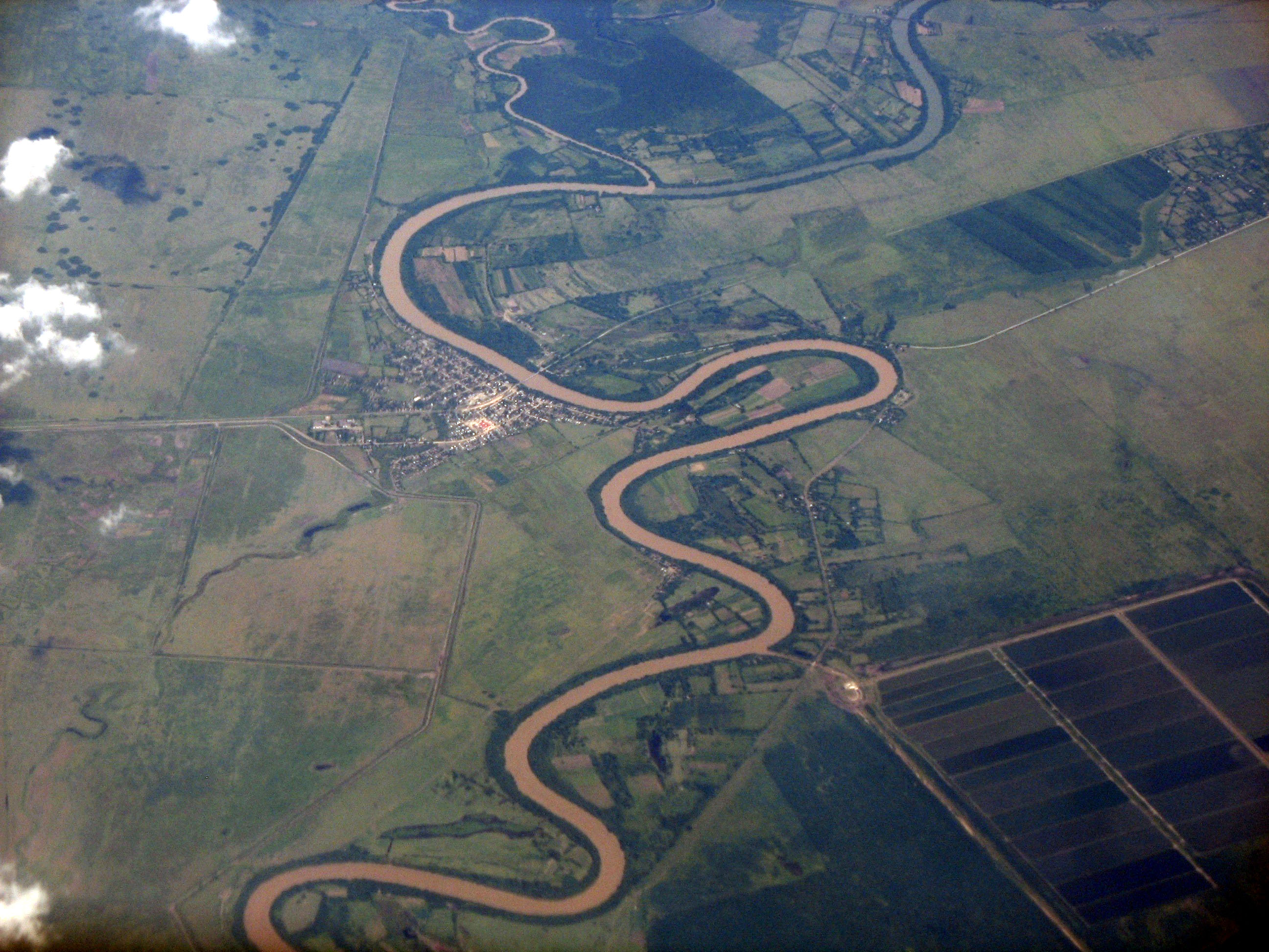
Using remotely sensed Landsat data for geographic analysis can be advantageous in a number of ways. Looking at such data over a period of time allows to observe changes in the landscape and compare them to previous years or different locations. It can be used to compare the landscape before and after a major flood, earthquake or volcano eruption or monitor stream, wind or glacial erosion over the years. If there is a stream close to human settlements it may be required to monitor the extent of cut bank retreat and the change in river sinuosity. For example, gathering the Landsat data of the Cuato river in Cuba over a period of a few decades would allow to compare the images from different years and determine the rate of erosion and in time predict if any oxbow lakes would form and where to prevent property damage and casualties. It would be best to gather the data from all different seasons as that would also give additional information on when the most erosion is happening.
