This study assessed the performance of transit-oriented development along the SkyTrain rapid transit system in the city of Vancouver and identified stations that would benefit from intensifying and optimizing TOD using a multi-criteria evaluation in a GIS. The five major findings are summarized below:
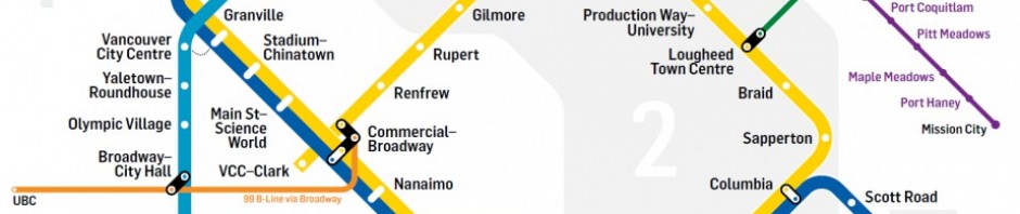
- Ten stations are identified to have a moderate to high potential for TOD intensification: Expo Line: Commercial-Broadway, Nanaimo, 29th Avenue, Joyce-Collingwood; Millennium Line: VCC-Clark, Renfrew, Rupert; Canada Line: Oakridge-41st Avenue, Langara-49th Avenue, and Marine Drive;
- Nanaimo and 29th Avenue station, despite opening in 1985 have not seen any significant changes in land use patterns and can be characterized as transit-adjacent;
- Potential exists to build on the success of Collingwood Village at Joyce-Collingwood station;
- Marine Drive station has the highest potential for TOD intensification;
- The Cambie Corridor Plan is a valuable opportunity to optimize the new Canada Line stations for TOD.
The results provide a useful visualization and quantitative assessment for city planners, politicians, and the public, and serve as validation in principle of past and current planning initiatives. Future research should expand the analysis to the entire region, consider applying finer-scale models to account for unique geographic contexts, and improve the resolution of census data using proxy data or other means to allow for parcel-level analysis.
Geographic Information Systems are a useful and powerful tool in guiding planning and policy decisions shaping long-term land use, transportation, and energy use. Implementing a public participation GIS using methods like multi-criteria evaluation to consider other criteria and different weighting schemes can improve the public process by enhancing planning literacy and engagement efforts. The versatility of GIS and rapid advancements in the development of new geovisualization techniques open many possibilities for public engagement. Offering transparency in analyses conducted by local governments may lend support from the public and assist in evidence-based decision-making for sustainability and climate change planning.