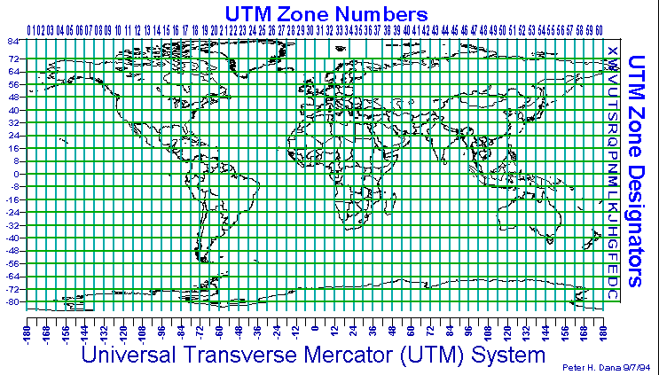
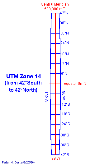
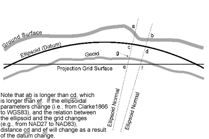
Distances as measured on a Grid, the Ellipsoid, the Geoid and on the Ground
You should be aware that there are significant changes when converting distances from a UTM map to the equivalent ground distance when using NAD27 versus using NAD83, as mentioned below:
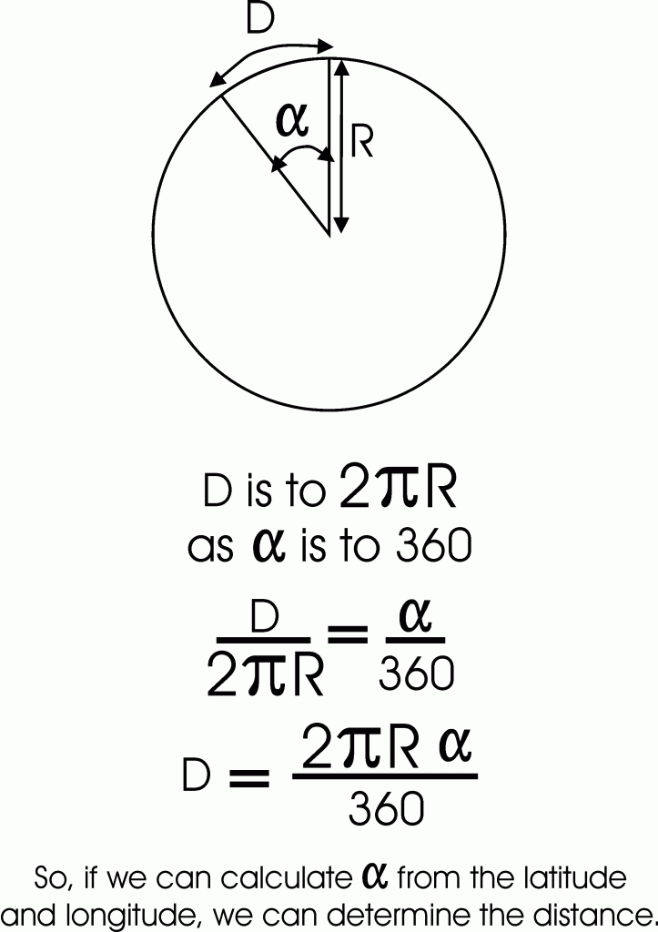
Basis upon which the Great Circle Distance Calculation is Derived (recalling how to determine the length of a circle).
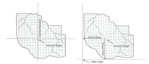
False Origin
Surfaces, Orientations and Coincidences
-

- Tranverse Cylindrical Projection Surface
-
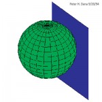
- Planar Projection Surface
-
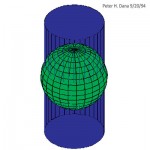
- Secant Cylindrical Projection
-
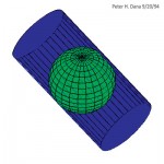
- Oblique Cylindrical Projection Surface
-
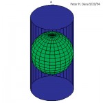
- Cylindrical Projection Surface
-
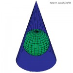
- Conical Projection Surface
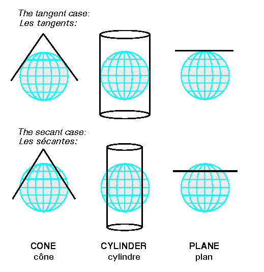
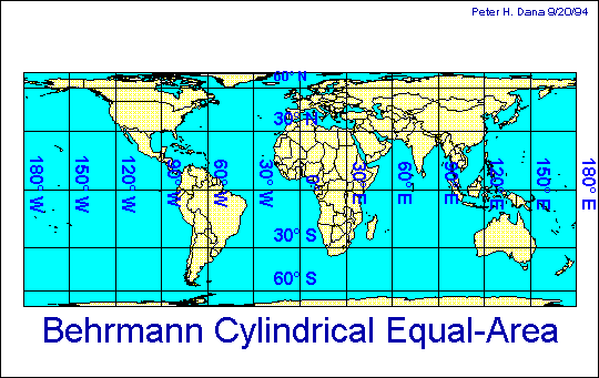
Illustrations of different map projections
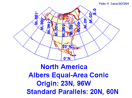
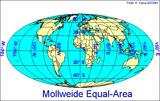
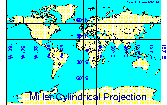
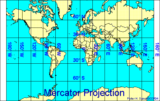
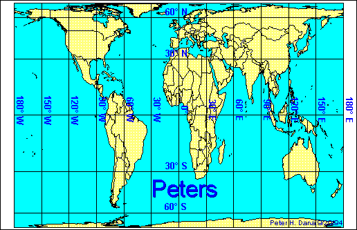
The UTM Projection-based coordinate system