Projects
Erosion of the Point Grey Cliffs: Causes and Adaptation Pathways
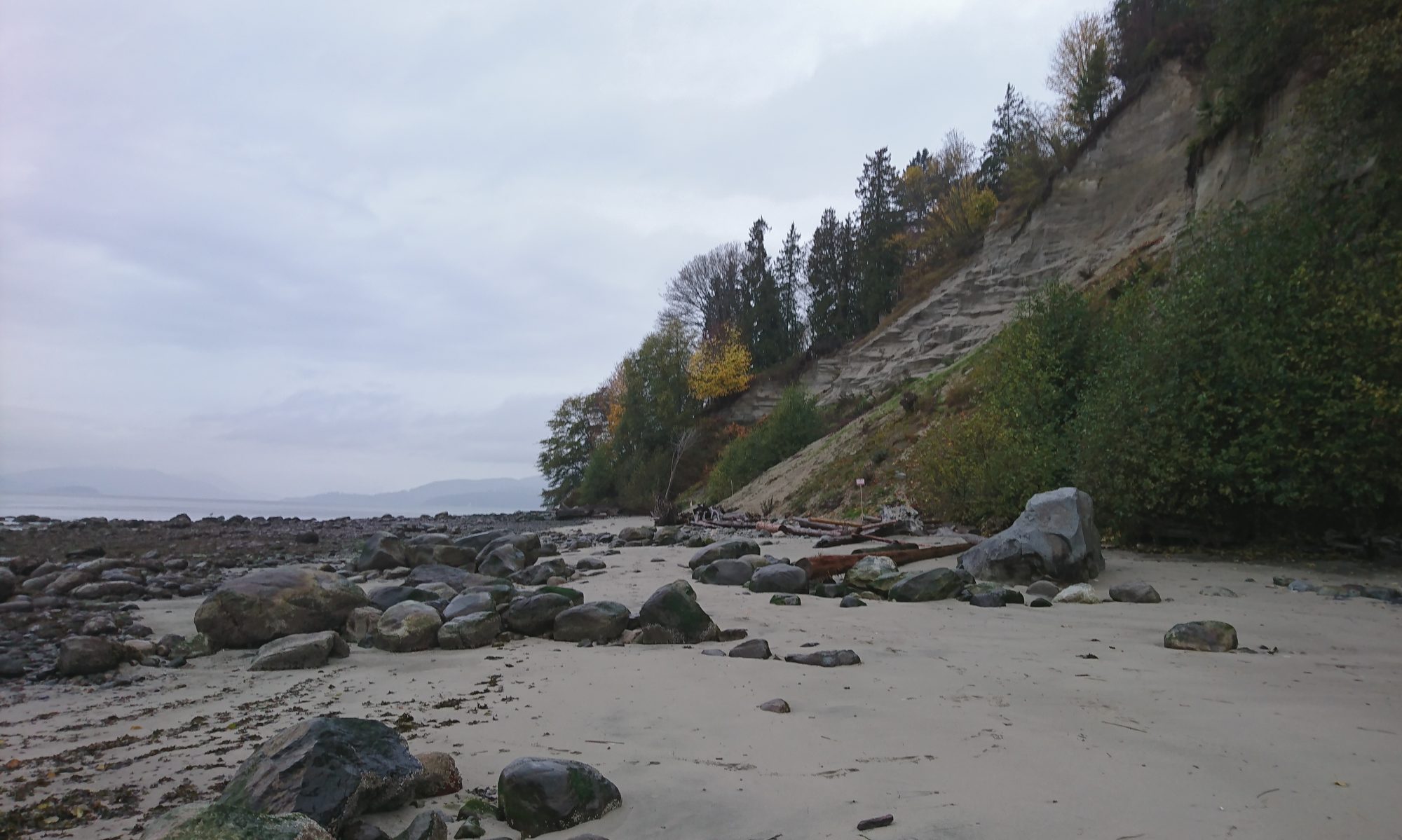
The Point Grey cliffs and its beaches have been eroding with an increased rate due to changing environmental and climatic conditions and human-activities. Erosion of the cliffs poses increased risks to social and cultural assets such as the local species, natural features, and stories attached to specific locations, as well as to physical assets such as infrastructure and buildings.
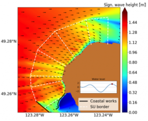
This project investigates the coastal mechanisms that contribute to the erosion of the cliffs by developing a local wave and sediment model.
Erosion of the Point Grey cliffs threatens important infrastructure and buildings at UBC.
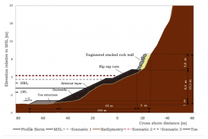
The project aims to develop a clear and holistic framework of the erosion problem at the Point Grey cliffs, both gathering and integrating existing information and contributing with innovative ideas that might open new approaches for dealing with erosion. It develops four concepts to tackle the cliff erosion and analyses their feasibility from a technical, environmental, economical, legislative and social perspective.
The Point Grey cliffs are ecologically, culturally and socially significant for the Musqueam First Nation and the visitors and residents of the Greater Vancouver region.
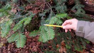
This project surveys and document the existing ecological conditions of the Point Grey Cliffs by undertaking a field survey of the three and shrub species, and vegetation densities along the five transects at different locations of the Point Grey Cliffs.
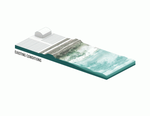
Coastal Adaptation Platform
Link to the Platform:
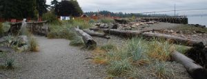
Nature-based Coastal Protection Projects in British Columbia
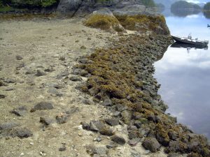
Indigenous Coastal Adaptation Practices
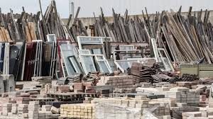
Low Embodied Energy ‘Habitat Blocks’
The Historical Aerial Photography Study of Greater Vancouver
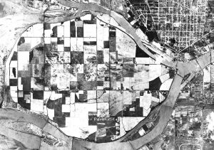
Today, with 75% of the population located in the southwest corner of the province, The Greater Vancouver region is the most densely populated area of British Columbia. Situated in glacial lowlands that is streaked and defined by the Fraser River, and westwards enclosed by its estuary and the coastline, the general vulnerability of the area to extreme weather events is evident and characterizes the historical coastal transformations of the region.
The project compiles and systematizes graphical data to help visualize key transformative processes in the Greater Vancouver region and it highlights how close the heavily urbanized the region is intertwined with, and dependent on, its marine and river environment.
Team

Prof. Kees Lokman
Project lead
School of Architecture and Landscape Architecture
University of British Columbia
Dr. Tugce Conger
Assistant project manager
University of British Columbia
COLLABORATORS
Doug Doyle
Associate Director, Municipal Engineering
University of British Columbia
Collaborated projects:
-
-
- Erosion of the Point Grey Cliffs: Causes and Adaptation Pathways
- Feasibility of the Preliminary Erosion Protection Concepts
- Site Documentation & Plant Geography
- The Historical Aerial Photography Study of Greater Vancouver
-
David Gill
Program and Policy Planner
University of British Columbia
Collaborated projects:
-
-
- Erosion of the Point Grey Cliffs: Causes and Adaptation Pathways
- Feasibility of the Preliminary Erosion Protection Concepts
- Site Documentation & Plant Geography
- The Historical Aerial Photography Study of Greater Vancouver
-

Daan Rijks
Project Development
Royal Boskalis Westminster N.V.
Collaborated projects:
-
-
- Erosion of the Point Grey Cliffs: Causes and Adaptation Pathways
- Feasibility of the Preliminary Erosion Protection Concepts
-
Dr. Nina Hewitt
Instructor, Department of Geography
University of British Columbia
Collaborated projects:
-
-
- Site Documentation & Plant Geography
-
Amir Taleghani
Water Resources Engineer
Kerr Wood Leidal
Collaborated projects:
-
-
- Erosion of the Point Grey Cliffs: Causes and Adaptation Pathways
- Feasibility of the Preliminary Erosion Protection Concepts
-
Prof. Joe Dahmen
School of Architecture and Landscape Architecture
University of British Columbia
Collaborated projects:
-
-
- Low Embodied Energy ‘Habitat Blocks’
-
Sara Muir-Owen
UBC Program Manager
Pacific Institute for Climate Solutions
Collaborated projects:
-
-
- Coastal adaptation platform
-
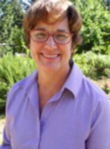
DG Blair
Executive Director
Stewardship Centre for British Columbia
Green Shores
Collaborated projects:
-
-
- Coastal Adaptation Platform
- Nature-Based Coastal Protection Projects in British Columbia
-
STUDENTS
Rens Harteveld
Masters Student, TU Delft
Project: Erosion of the Point Grey Cliffs: Causes and Adaptation Pathways
Calvin Tan
Masters Student, University of British Columbia
Project: Coastal Adaptation Platform
Irene Cantoni
Masters Student, TU Delft
Project: Feasibility of the Preliminary Erosion Protection Concepts
Camilla Gaido
Masters Student, TU Delft
Project: Feasibility of the Preliminary Erosion Protection Concepts
Tessa Jonker
Masters Student, TU Delft
Project: Feasibility of the Preliminary Erosion Protection Concepts
Laurie van Gijzen
Masters Student, TU Delft
Project: Feasibility of the Preliminary Erosion Protection Concepts
Karen Tomkins
Masters Student, University of British Columbia
Project: Indigenous Coastal Adaptation Practices
Benham Harper
Masters Student, University of British Columbia
Project: Lower Mainland Hazards, Risks, ad Vulnerability Mapping
Gabriela Garcia
B.A., Freie Universität Berlin
Project: The Historical Aerial Photography Study of Greater Vancouver
Collaborations
We collaborate with academic teams/departments, organizations, companies, and different government levels. These collaborations are formed in many different ways including sharing ideas and data, conducting research, developing strategies, and engaging with stakeholders.
Some of the collaborators include:

![]()
![]()
![]()
Contact
We strongly encourage you to contact us with any questions, suggestions, and collaboration ideas.
You can reach us by email at livingbreakwatersproject@gmail.com
Thank you.
