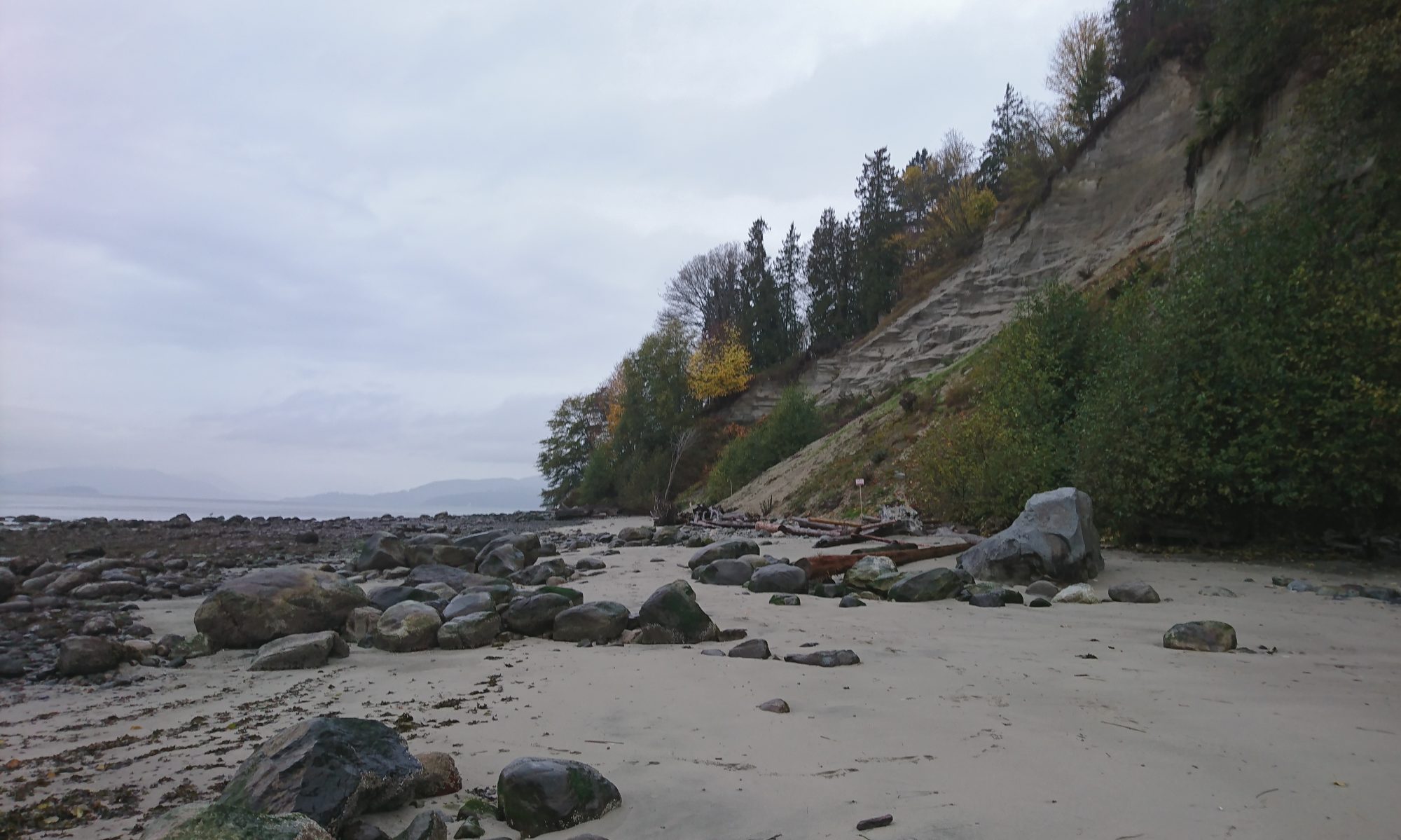
Today, with 75% of the population located in the southwest corner of the province, The Greater Vancouver region is the most densely populated area of British Columbia. Situated in glacial lowlands that is streaked and defined by the Fraser River, and westwards enclosed by its estuary and the coastline, the general vulnerability of the area to extreme weather events is evident and characterizes the historical coastal transformations of the region.
The project compiles and systematizes graphical data to help visualize key transformative processes in the Greater Vancouver region and it highlights how close the heavily urbanized the region is intertwined with, and dependent on, its marine and river environment.