A3: Mapping – Marissa

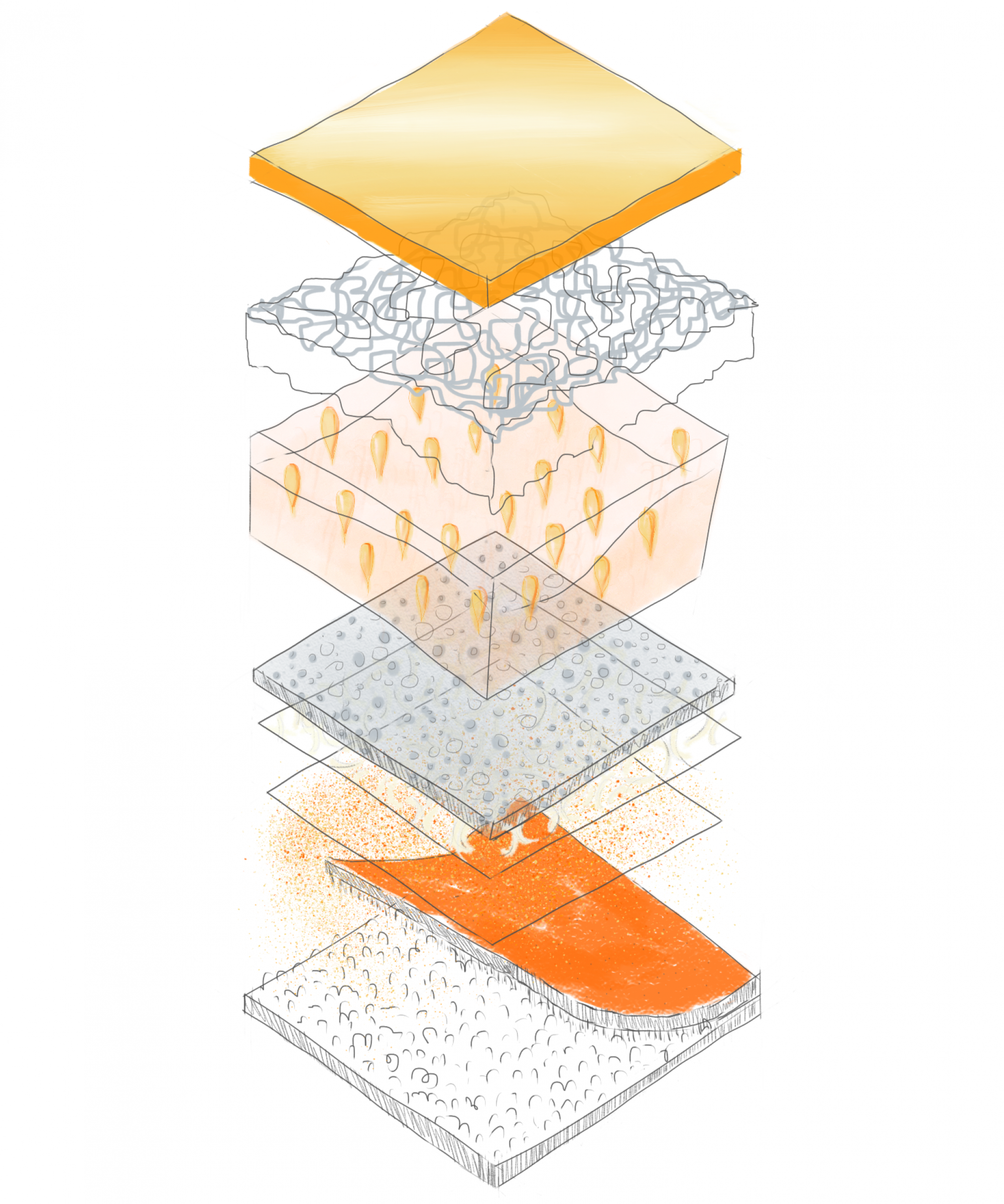
Analysis of barnacle clustering on rocky shoreline. Barnacles collect in large groups in locations along the shoreline that are usually submerged by the tide, or within a tidepool. The tidepools are carved away by the waves over many years, creating pockets of seawater that hold sealife during low-tide.

In-Class Exercise: Mapping the sky

Two versions of mapping clouds from my home. The first shows a view looking straight up with the viewer located at the center of the page, while the second example is a rough axonometric looking down on the home and sky around it.

Leave a Reply

Your email address will not be published. Required fields are marked *

Spam prevention powered by Akismet