Staircase To Wreck Beach
First Encounter, where the trail pulls you off of the road and into the forest.
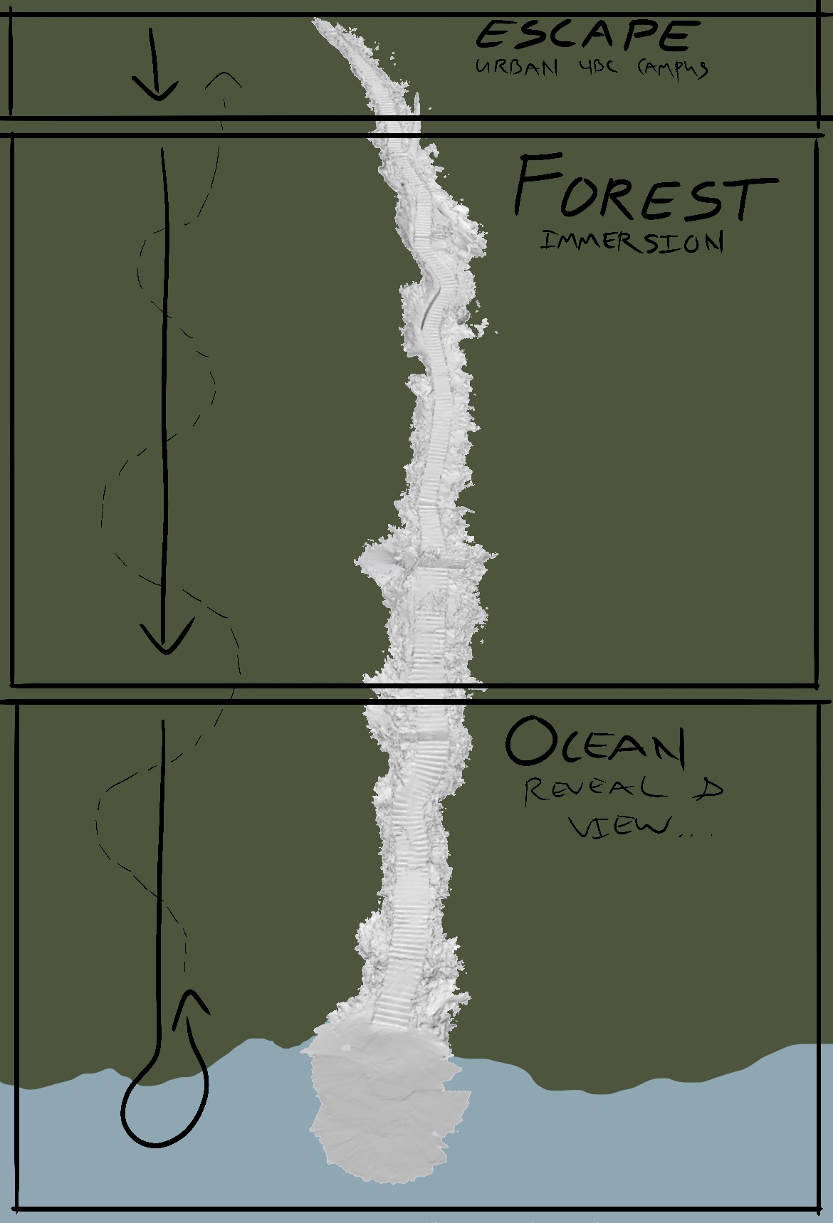
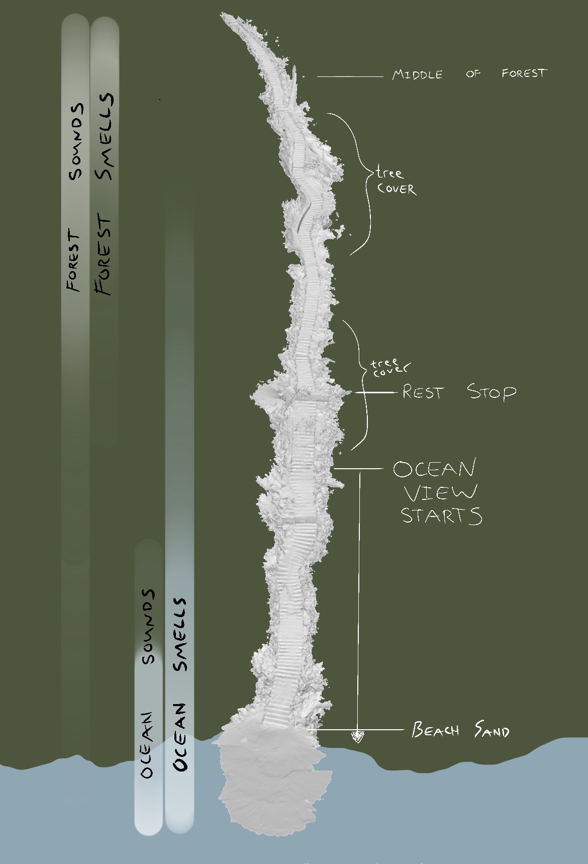
Next I attempted to ‘map’ this trail/staircase using Lidar… partly for my own memory/mapping later on and partly as an experiment in Lidar iPhone mapping… My focus was on the progression of the trail, as it leads away from UBC towards Wreck Beach and the Ocean, and the associated experience and feeling with this movement.
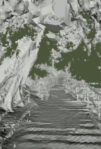
The final four images are perspective moments in the Augmented Reality map created by my iPhone Lidar Scan (3D Scanner App). The first two perspectives show movement from inside the forested trail, outward toward the beach, focusing on the revealing of the ocean and view, and the building up of this through sound and smell. The last two images show the reverse direction and moving upward back towards the forest away from the beach. This was my natural progression during this assignment: first down, then slowly back up.
Full Stair Model


