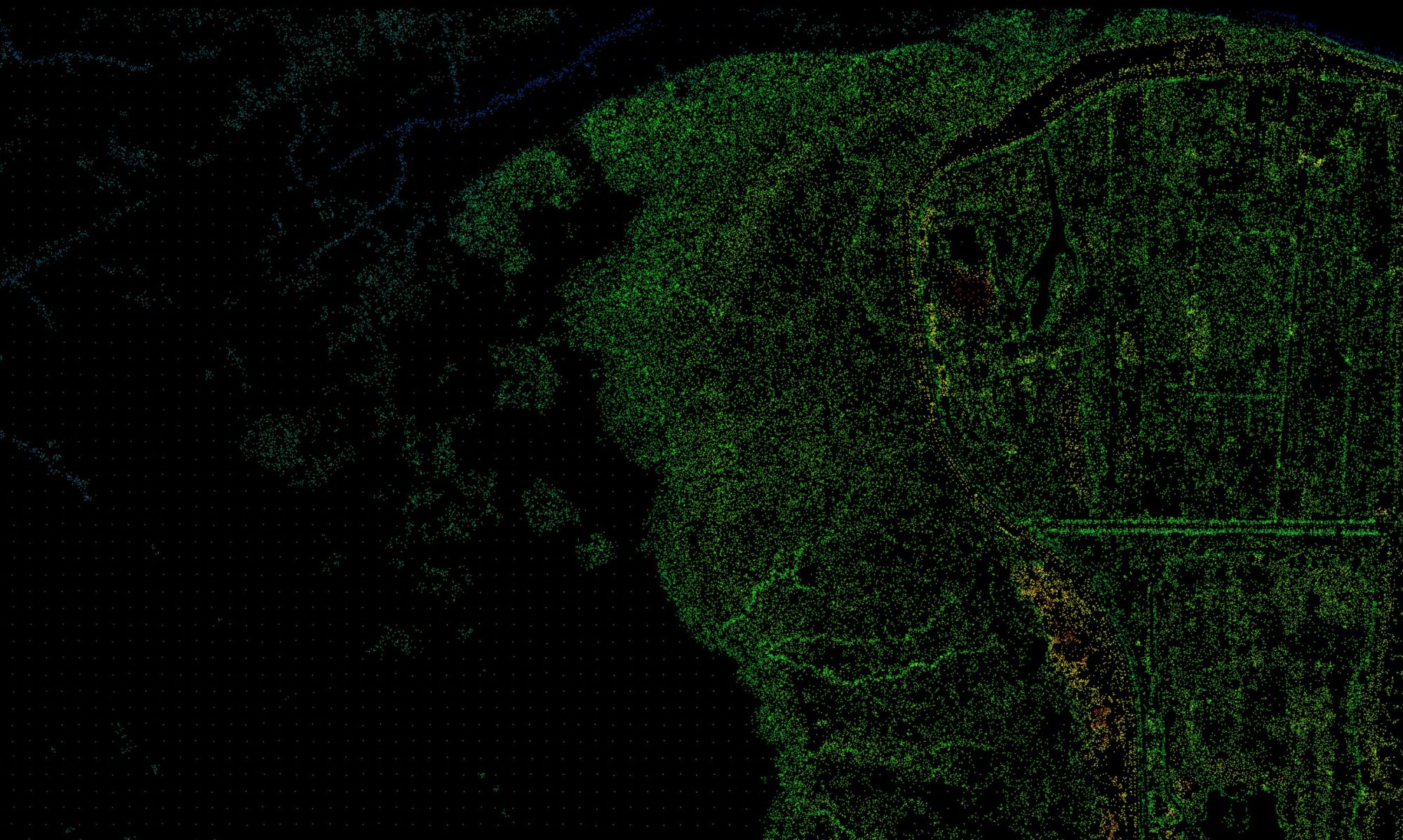
Kees Lokman publishes a new article in the in Journal de la Société des Océanistes entitled “Visualizing Coastal Risks in the Fraser River Delta.” The article examines how geospatial analysis, mapping and visualization can be used to inform and empower multiple audiences in understanding the fundamental changes future sea level rise will bring to coastal landscapes. Using the Fraser River Delta as a case study, the paper examines a series of visual narratives (maps, models, timelines, and animations) to illustrate the long-term effects of sea level rise on issues such as urban growth, logistics, intertidal habitats, and food security. The article concludes by discussing the success and limitations of the work, as well as its relevance with respect to the challenges of coastal adaptation in the Pacific Islands Region.

For more information, please follow this link