
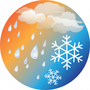


Weather is constantly changing, especially when you go higher up in elevation, up, up, up! Mountains not only draw in weather but often make their own weather with little to no warning. The higher up you are, the less trees and protection you have from any storms passing through (this is particularly important in storms with lightning as you can easily end up being the tallest thing around for lightning to be drawn too). If you find yourself exposed in a lightning storm, remember that your car with the windows closed is the safest place to sit it out.

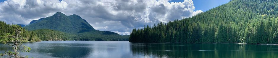
It’s good to use a combination of Google Maps and paper maps. While Google Maps can be more up to date then paper maps, it does not have accurate detail of back country areas. Paper maps can become easily out of date (bridge washed out, new back road) but they often still give excellent detail of the general area you are collecting.
NOTE: Google maps is excellent, but is limited by WiFi. When you are in the backcountry, don’t expect your phone to have coverage – download your maps ahead of time. Even if your ‘plan’ shows coverage, assume no coverage.