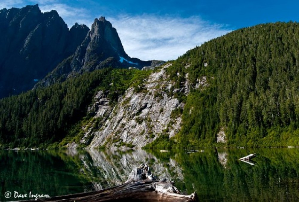
British Columbia is the most seismically active region in Canada (Mosher et al., 2004). The population of the coastal region expanding rapidly and some regions of the province are sensitive to landslides as a result of slope instability. Landslides can be economically costly and lead to human casualties (Dai et al, 2002). Regional spatial landslide studies can be used to plan and respond effectively to landslide hazard.
The mountainous landscape of Vancouver Island makes it sensitive to landslides as rainfalls tend to trigger instabilities in slope in mountainous regions (Guthrie et al., 2010). Moreover, Vancouver Island receives a great amount of rainfall each year. Intensity of rainfalls have an effect on slope stability but the importance of the impacts generated by precipitation and catastrophic weather event are less important than the impact generated by land use changes and urbanization caused by population growth (Guthrie et al., 2010).
This project utilizes ArcGIS to analyze the potential of landslides on Vancouver Island. We will compare two different multi-criteria evaluations (MCE) that focus on landslides. Both models include factors such as roads, rivers, vegetation, precipitation, slope and soil type. However, the latter two factors are treated differently in the general and the deterministic MCE. For the general MCE, slope and soil type are treated similarly to other factors. Conversely, in the deterministic MCE applies the infinite slope model to analyze the impact of slope and soil type on landslide hazard. The infinite slope model is a tractable slope stability model that can be applied spatially on a regional scale. Both models make large assumptions but by comparing the two, it is hoped we can provide insight into how hazard analysis of landslides can be improved.
