We obtained the data of vegetation cover on Vancouver Island from Hectare BC. The pixels size were 100m X 100m in BC Albers projection. We then extracted Vancouver Island raster by mask using the outline of the Island. Next, we reclassified the land-use types based on their ability of the land to prevent landslides (see table below). Finally, we conducted a fuzzy membership analysis with a linear membership type to obtain normalized data from 0 to 1.
Reclassification of vegetation for both MCE
| Vegetation Type | Old Classification | New Classification |
| Agricultural crops | 2 | 5 |
| Bog | 3 | 5 |
| Coniferous Forest | 4 | 1 |
| Fen | 6 | 5 |
| Mixed Forest | 9 | 1 |
| Tundra | 12 | 5 |
| Unvegetated Surface | 13 | 10 |
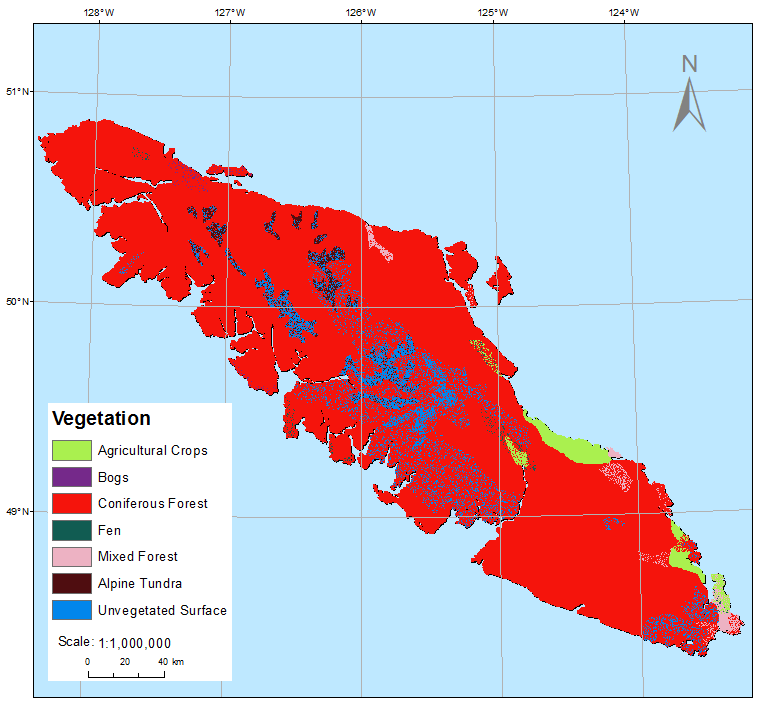
The above image displays the vegetation type encounter on Vancouver Island. As illustrated, the coniferous forest dominates the region.