Alexander, D. “On the causes of Landslides – Human Activities, perception, and natural processes.” Environmental geology and Water Sciences 20.3 (1992): 165-79.
Dai, F. C., C. F. Lee, and Y. Y. Ngai. “Landslide Risk Assessment and Management: An Overview.” Engineering Geology 64.1 (2002): 65-87.
Guthrie, R. H. “The Effects of Logging on Frequency and Distribution of Landslides in Three Watersheds on Vancouver Island, British Columbia.” Geomorphology 43.3 (2002): 273-92.
Guthrie, R. H. , et al. “Extreme Weather and Landslide Initiation in Coastal British Columbia.” Quarterly Journal of Engineering Geology and Hydrology 43.4 (2010): 417-28.
Mosher, DC, et al. “Coastal Submarine Failures in the Strait of Georgia, British Columbia: Landslides of the 1946 Vancouver Island Earthquake.” Journal of Coastal Research 20.1 (2004): 277-91.
Newton, P. and Gilchrist, A. “DRASTIC-Fm: Technical Summary of Intrinsic Vulnerability Mapping Methods for Vancouver Island, British Columbia, Canada./Vancouver Island Water Resources Vulnerability Mapping Project –Phase 2” Hydrogeology Journal 15.3 (2010): p.51
CLIMATE DATA
Hamann, Andreas. (2014). Andreas Hamann’s personal website. http://www.ualberta.ca/~ahamann/data/climatewna.html
GEOLOGY DATA
USGS, Geosciences and Environmental Change Science Center. (2013, January 09th). Digital Representations of Tree Species Range Maps from “Atlas of United States Trees” by Elbert L. Little, Jr. (and other publications). http://esp.cr.usgs.gov/data/little/
Data BC. (2014). Geology and Soils Web Map Service. http://www.data.gov.bc.ca/dbc/catalogue/detail.page?config=dbc&P110=recorduid:177274&recorduid=177274&title=Geology%20and%20Soils%20Web%20Map%20Service
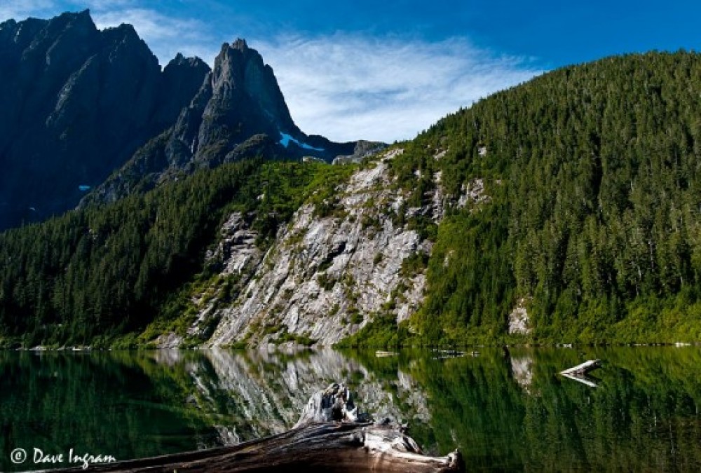
Photo by Dave Ingram
