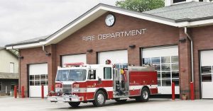
Use of GIS by Fire Departments
This week’s lecture covered the use of GIS by Fire Departments. GIS has a wide variety of important applications in this field, from fire prevention to response.

Prior to any emergency happening, there is a great deal of data that can be used to prevent incidents and plan responses in the case of a fire. Collecting information about road networks, locations of fire hydrants, and building occupancies is very useful. In the event of a fire (or other emergency), having access to this data and using it properly can reduce response rate times, increase efficiency, and inform activities for cleanup after the event.
This topic therefore highlighted the importance of proper data collection, management, and communication. If the data is incorrect or incomplete, it could end up costing someone their life or home. Ensuring that this data is collected and handled correctly requires in-depth and informed planning and procedures – I can’t imagine all the time and effort that must go into this! This lecture made me truly appreciate all the work that goes into emergency response teams, and not just the physical efforts of the firefighters themselves but the countless hours that have been spent creating procedures and collecting data. Technology like GIS therefore must have been fairly revolutionary in the realm of emergency planning.